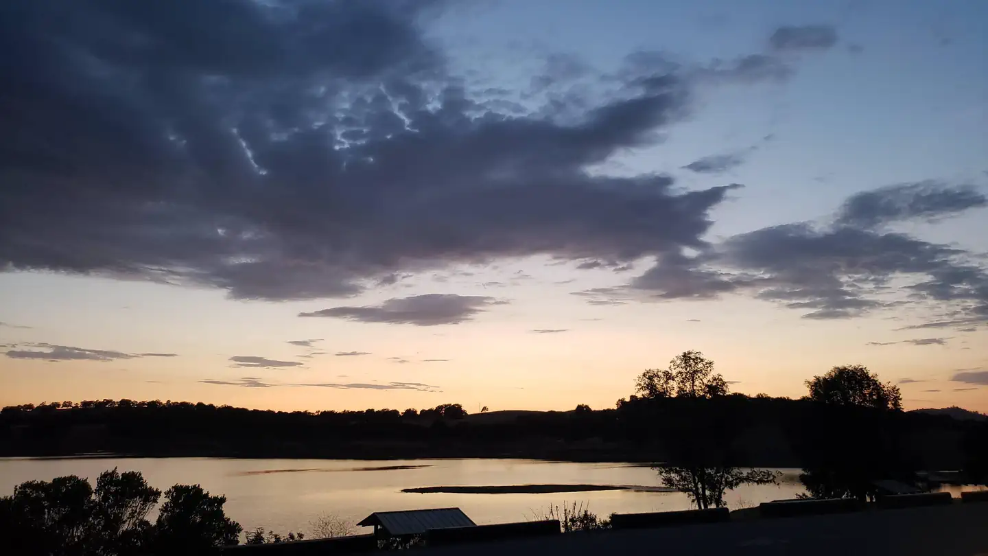
Overview Acorn Campground is a sunny campground in the brush-covered hills of the Sierra Nevada Mountains.
Sites128126 reservable
Elev.751ft
Comf.Jan-Dec10 months
Max rig20 ft28 pull-thru
Electricnonesites
From Sacramento1h21real road time
The honest read
Synthesized from RIDB · Open-Meteo OSM · OSRM Updated 2026-05-27
At 751 ft, Acorn Campground has a 10-month comfortable window (Jan-Dec). Winter nights average around 39°F, so the shoulder seasons turn cold fast. 128 sites total: 126 reservable and 2 first-come, first-served. Of the sites, 28 pull-through, and the longest takes a 20-ft rig. Within about 4 miles: 9 peaks, lake or river access.
What campers say
SYNTHESIZED · MODERATE SIGNAL
Weather
01 / 05
Summers run hot and shade is hit or miss across the loops.
Campers consistently report afternoons over 90 degrees from June through September, with scattered oaks giving some sites real cover and others almost none. Bringing a canopy and planning lake time for midday is the common advice.
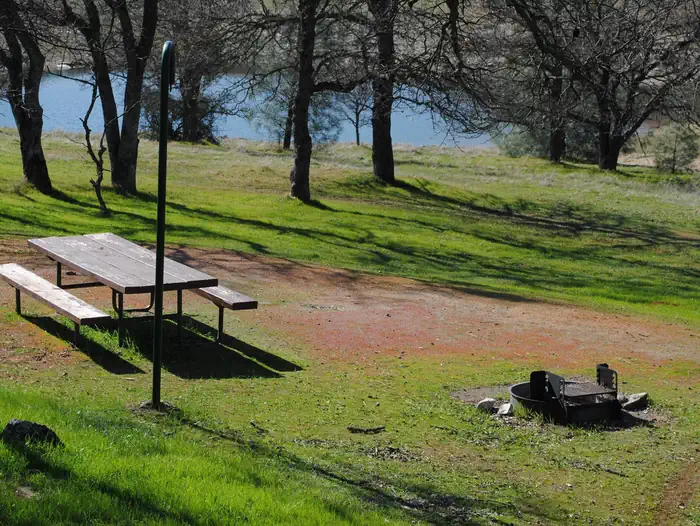
Sites
02 / 05
Paved pads but levelness varies, scout before you unhitch.
The agency itself warns driveways may not be level, and reviewers echo that across both the West and East loops, with a few specific sites called out as rough for trailers. Tent campers note gravel coverage and few flat spots on some pads.
Facilities
03 / 05
Flush toilets and showers exist, upkeep is inconsistent.
Reports swing from acceptable to filthy depending on the visit, with complaints about missing soap, non-working showers, and sinks without running water. Coin-operated showers and a fish cleaning station are on site.
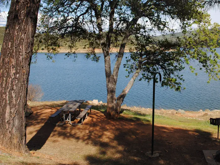
Water
04 / 05
Lake access is the draw but levels and ramp status shift year to year.
In drought years campers describe docks and ramps stranded well back from the waterline, and the Acorn boat launch is currently closed with launching pushed to Fiddleneck Day Use Area. Early summer tends to give the best shoreline.
Wildlife & sky
05 / 05
Deer are constant, rattlesnakes and wasps come up often enough to plan for.
Multiple campers mention rattlesnake sightings and advise against piling gear around the site, and wasps around food and drink are a recurring complaint in warm months. Deer wandering through camp is treated as a feature rather than a problem.
Synthesized from public trip reports and forum discussion, summarized in our words and never quoted. This is durable sentiment, not a live feed.
The campground at a glance
01 · CHARACTER
Reads strongest on reservability and shade. Softest on roomy sites.
Six axes, each scored relative to every other federal campground in the region: quiet (miles to a major road), cool (elevation), roomy (average site spacing), shade, RV-fit (longest rig), and how reservable it is. All six come from data, nothing hand-tuned.
When to go
02 · CLIMATE
avg highavg lowfrost-freedriest · Jun
Jan-Dec
Comfortable window: nights stay above 35°F, days below 90°F.
100%
Of summer weekend-days are dry.
Feb 22
Last spring frost; first fall frost Nov 29.
63°F
Average July low.
Getting there
03 · ACCESS
01
Sacramento
61 mi
1h21
02
San Francisco
120 mi
2h40
03
Fresno
148 mi
3h17
04
Los Angeles
414 mi
9h12
05
San Diego
558 mi
12h24
By drive time
Routed road time (OSRM). Nearest major highway 1.4 mi away.
We synthesize public data layers: RIDB and Recreation.gov facility and site records, Open-Meteo climate normals, OpenStreetMap roads, trails, and water, OSRM drive times, and USGS elevation. We take no bookings, no ads, and no paid placements. Independence is the entire point.