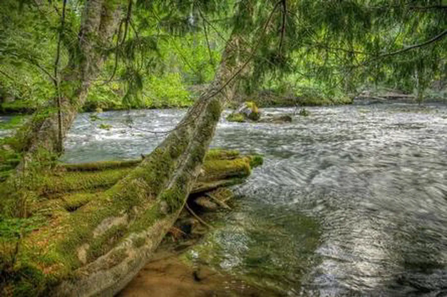
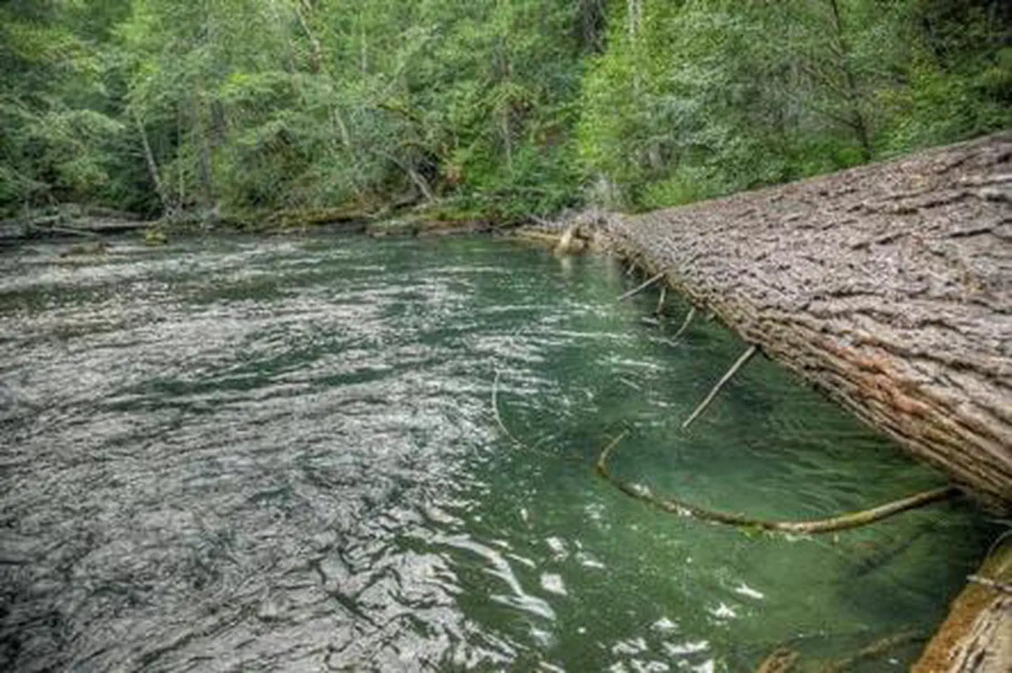
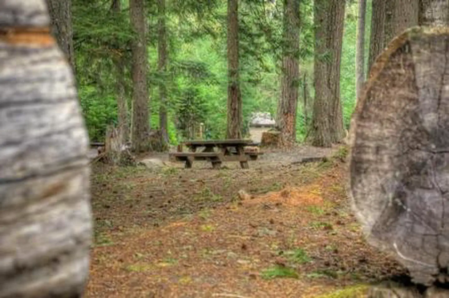
Overview Nestled among tall conifers on the Adams Creek Fork of the Cispus River, Adams Fork Campground offers single sites for tent and RV camping, as well as three double sites, with several of the
Sites2416 reservable
Elev.2,612ft
Comf.May-Oct6 months
Max rig42 ft1 pull-thru
Electricnonesites
From Yakima2h46real road time
The honest read
Synthesized from RIDB · Open-Meteo OSM · OSRM Updated 2026-05-27
At 2,612 ft, Adams Fork Campground has a 6-month comfortable window (May-Oct). Winter nights average around 31°F, so the shoulder seasons turn cold fast. 24 sites total: 16 reservable and 8 first-come, first-served. Of the sites, 1 pull-through, and the longest takes a 42-ft rig. Within about 4 miles: 11 named hiking routes, 1 peak, lake or river access.
The campground at a glance
01 · CHARACTER
Reads strongest on shade and quiet. Softest on roomy sites.
Six axes, each scored relative to every other federal campground in the region: quiet (miles to a major road), cool (elevation), roomy (average site spacing), shade, RV-fit (longest rig), and how reservable it is. All six come from data, nothing hand-tuned.
When to go
02 · CLIMATE
avg highavg lowfrost-freedriest · Jul
May-Oct
Comfortable window: nights stay above 35°F, days below 90°F.
79%
Of summer weekend-days are dry.
May 22
Last spring frost; first fall frost Oct 16.
52°F
Average July low. Bring a fleece.
Getting there
03 · ACCESS
01
Yakima
113 mi
2h46
02
Seattle
130 mi
3h27
03
Spokane
313 mi
6h22
By drive time
Routed road time (OSRM). Nearest major highway 14.8 mi away.
We synthesize public data layers: RIDB and Recreation.gov facility and site records, Open-Meteo climate normals, OpenStreetMap roads, trails, and water, OSRM drive times, and USGS elevation. We take no bookings, no ads, and no paid placements. Independence is the entire point.