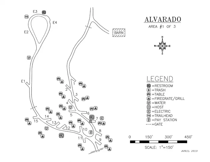
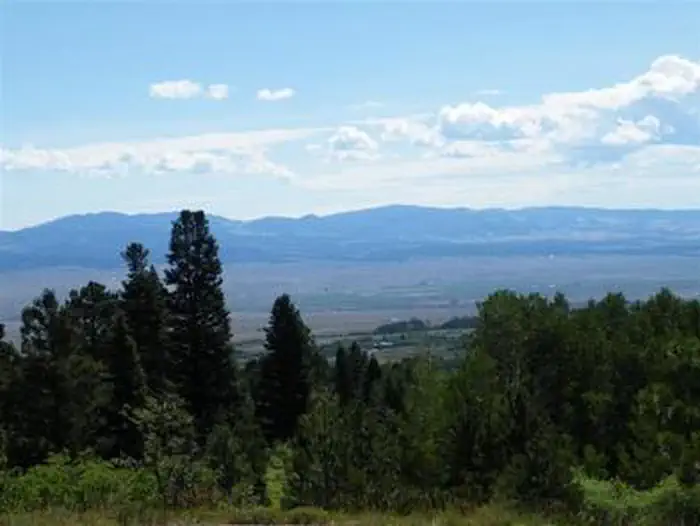
Overview Alvarado Campground, located at an elevation of 9,000 ft., is a prime location for accessing easy to challenging hikes in the Sangre de Cristo Wilderness.
Sites5135 reservable
Elev.9,029ft
Comf.Jun-Sep4 months
Max rig45 ft3 pull-thru
Electricnonesites
From Colorado Springs2h19real road time
The honest read
Synthesized from RIDB · Open-Meteo OSM · OSRM Updated 2026-05-27
At 9,029 ft, Alvarado Campground has a 4-month comfortable window (Jun-Sep). Winter nights average around 8°F, so the shoulder seasons turn cold fast. 51 sites total: 35 reservable and 16 first-come, first-served. Of the sites, 3 pull-through, and the longest takes a 45-ft rig. Within about 4 miles: 2 peaks, lake or river access.
What campers say
SYNTHESIZED · MODERATE SIGNAL
Trails & access
01 / 05
Direct line into the Sangre de Cristo Wilderness from camp.
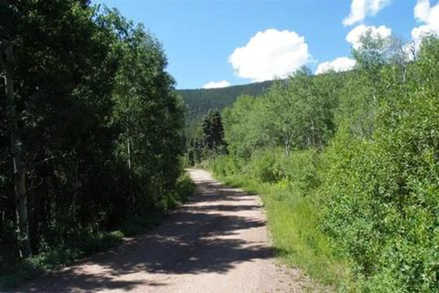
A short walk from the upper loop joins the Rainbow Trail, which links the Venable, Comanche, Goodwin, and Cottonwood routes into alpine lakes and waterfalls. Repeat visitors come specifically for the trailhead access and treat the campground as a base for multi-day hiking.
Sites
02 / 05
Well-spaced sites, but length and levelness vary by loop.
Campers describe the spacing as generous and private, with the lower loop reading as more open and the upper loop more wooded. RVers note the 29 to 40 foot spurs differ site to site and a few pads sit unlevel or short on tent space, so walking the site before backing in is a common recommendation.
Facilities
03 / 05
Clean vault toilets and potable water, no hookups of any kind.
There is no electric, sewer, or shower service, and water comes from central spigots rather than site hookups, so RVers arrive with full tanks and tent campers haul jugs. Toilets are usually reported as some of the cleanest vault units people have used, though a few visits late in the season note odor and dripping spigots.
Vibe
04 / 05
Quiet, dark, and family friendly with hosts who enforce 10pm.
Most reviews describe a calm atmosphere with strong Milky Way views and hosts who walk the loops and shut down music at quiet hours. Negative reports exist around peak weekends, including loud groups, barking dogs, and occasional low altitude helicopter training overhead during the day.
Weather
05 / 05
9,000 feet means cold nights, wind, and fast-moving storms.
Even in midsummer campers report nighttime temperatures dropping sharply and afternoon thunderstorms rolling off the Sangres with strong gusts. Packing for 30 degree mornings and staking down tents firmly comes up across trip reports regardless of month.
Synthesized from public trip reports and forum discussion, summarized in our words and never quoted. This is durable sentiment, not a live feed.
The campground at a glance
01 · CHARACTER
Reads strongest on cool nights and reservability. Softest on roomy sites.
Six axes, each scored relative to every other federal campground in the region: quiet (miles to a major road), cool (elevation), roomy (average site spacing), shade, RV-fit (longest rig), and how reservable it is. All six come from data, nothing hand-tuned.
When to go
02 · CLIMATE
avg highavg lowfrost-freedriest · Nov
Jun-Sep
Comfortable window: nights stay above 35°F, days below 90°F.
69%
Of summer weekend-days are dry.
Jun 11
Last spring frost; first fall frost Sep 23.
47°F
Average July low. Bring a fleece.
Getting there
03 · ACCESS
01
Colorado Springs
87 mi
2h19
02
Denver
155 mi
3h36
03
Fort Collins
219 mi
4h46
04
Grand Junction
245 mi
5h52
By drive time
Routed road time (OSRM). Nearest major highway 5.9 mi away.
We synthesize public data layers: RIDB and Recreation.gov facility and site records, Open-Meteo climate normals, OpenStreetMap roads, trails, and water, OSRM drive times, and USGS elevation. We take no bookings, no ads, and no paid placements. Independence is the entire point.