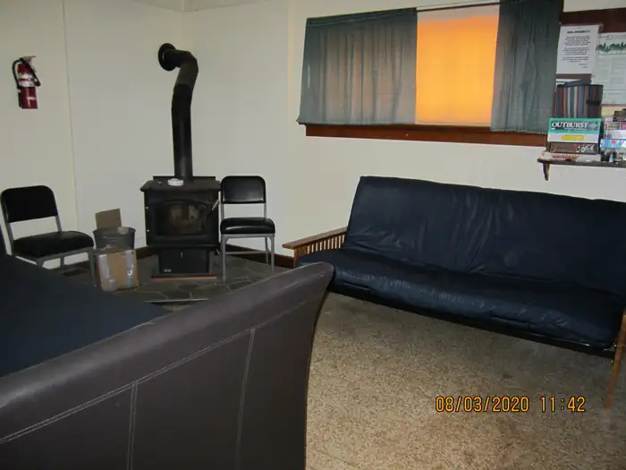
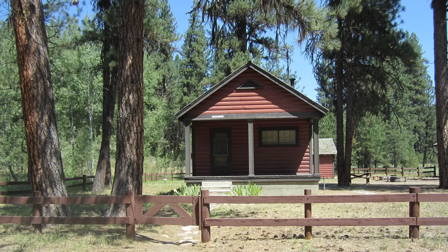
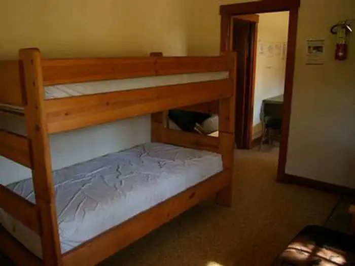
Overview The Barber Flat Cabin site was established for administrative use by the Forest Service in 1923, and was used prior to that by the Barber Lumber Company.
Sites1all reservable
Elev.4,475ft
Comf.May-Oct6 months
Max rigtents1 pull-thru
Electricnonesites
From Boise2h44real road time
The honest read
Synthesized from RIDB · Open-Meteo OSM · OSRM Updated 2026-05-27
At 4,475 ft, Barber Flat Cabin (Boise National Forest, ID) has a 6-month comfortable window (May-Oct). Winter nights average around 20°F, so the shoulder seasons turn cold fast. All 1 sites are reservable in advance, so plan ahead. Popular weekends book out. Of the sites, 1 pull-through.
The campground at a glance
01 · CHARACTER
Reads strongest on shade and reservability. Softest on cool nights.
Six axes, each scored relative to every other federal campground in the region: quiet (miles to a major road), cool (elevation), roomy (average site spacing), shade, RV-fit (longest rig), and how reservable it is. All six come from data, nothing hand-tuned.
When to go
02 · CLIMATE
avg highavg lowfrost-freedriest · Jul
May-Oct
Comfortable window: nights stay above 35°F, days below 90°F.
83%
Of summer weekend-days are dry.
Jun 8
Last spring frost; first fall frost Oct 10.
54°F
Average July low. Bring a fleece.
Getting there
03 · ACCESS
01
Boise
67 mi
2h44
02
Idaho Falls
335 mi
6h54
03
Coeur d'Alene
405 mi
9h59
By drive time
Routed road time (OSRM). Nearest major highway 10 mi away.
Picking your site
04 · 1 SITES
1
Pull-thru
0
Walk-in
0
50-amp
0
Accessible
0
Prime
1
Sites
What's within four miles
05 · TRAILS · PEAKS · WATER
Trails & Peaks
Trail segments
6
Water & Access
To nearest major road
10 mi
Method
We synthesize public data layers: RIDB and Recreation.gov facility and site records, Open-Meteo climate normals, OpenStreetMap roads, trails, and water, OSRM drive times, and USGS elevation. We take no bookings, no ads, and no paid placements. Independence is the entire point.