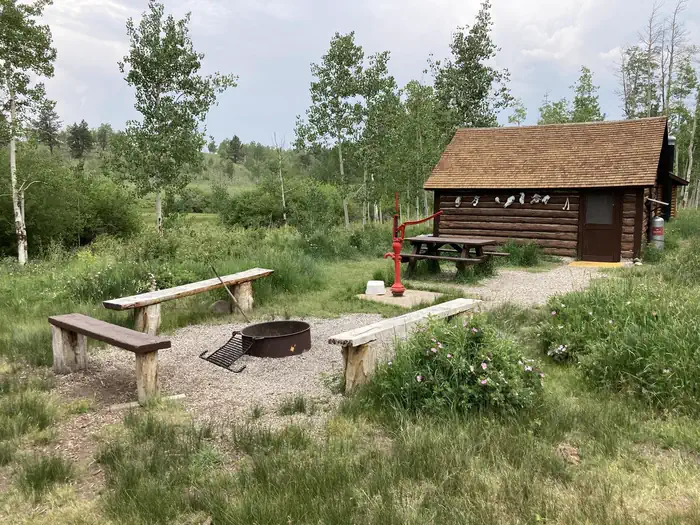
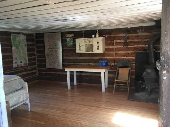
Overview Bassam Guard Station was built in 1911 as one of a network of remote stations to be used by the first forest rangers and guards to monitor grazing sheep and cattle, manage timber harvesting,
Sites1all reservable
Elev.9,721ft
Comf.Jun-Sep4 months
Max rigtents
Electricnonesites
From Colorado Springs2h29real road time
The honest read
Synthesized from RIDB · Open-Meteo OSM · OSRM Updated 2026-05-27
At 9,721 ft, Bassam Guard Station has a 4-month comfortable window (Jun-Sep). Winter nights average around 0°F, so the shoulder seasons turn cold fast. All 1 sites are reservable in advance, so plan ahead. Popular weekends book out. Within about 4 miles: lake or river access.
The campground at a glance
01 · CHARACTER
Reads strongest on shade and reservability. Softest on quiet.
Six axes, each scored relative to every other federal campground in the region: quiet (miles to a major road), cool (elevation), roomy (average site spacing), shade, RV-fit (longest rig), and how reservable it is. All six come from data, nothing hand-tuned.
When to go
02 · CLIMATE
avg highavg lowfrost-freedriest · Jan
Jun-Sep
Comfortable window: nights stay above 35°F, days below 90°F.
77%
Of summer weekend-days are dry.
Jun 13
Last spring frost; first fall frost Sep 17.
46°F
Average July low. Bring a fleece.
Getting there
03 · ACCESS
01
Colorado Springs
92 mi
2h29
02
Denver
119 mi
3h08
03
Fort Collins
181 mi
4h14
04
Grand Junction
226 mi
4h53
By drive time
Routed road time (OSRM). Nearest major highway 7.2 mi away.
Picking your site
04 · 1 SITES
0
Pull-thru
0
Walk-in
0
50-amp
0
Accessible
0
Prime
1
Sites
What's within four miles
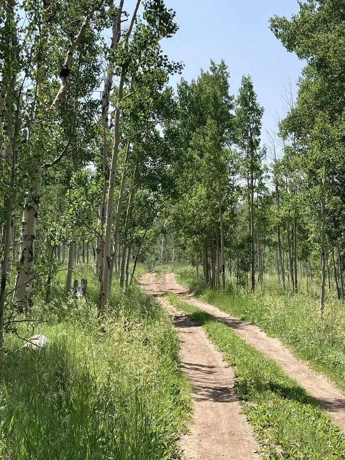
05 · TRAILS · PEAKS · WATER
Trails & Peaks
Trail segments
4
Water & Access
Lake / river access
yes
To nearest major road
7.2 mi
Method
We synthesize public data layers: RIDB and Recreation.gov facility and site records, Open-Meteo climate normals, OpenStreetMap roads, trails, and water, OSRM drive times, and USGS elevation. We take no bookings, no ads, and no paid placements. Independence is the entire point.