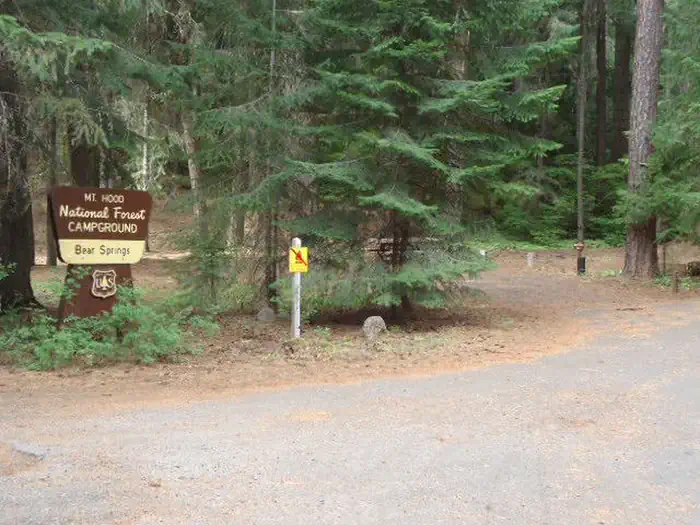
Overview Bear Springs Campground is an ideal destination for families and groups that enjoy the outdoors in the beautiful Pacific Northwest.
Sites53 reservable
Elev.3,120ft
Comf.May-Oct6 months
Max rig25 ft
Electricnonesites
From Portland2h25real road time
The honest read
Synthesized from RIDB · Open-Meteo OSM · OSRM Updated 2026-05-27
At 3,120 ft, Bear Springs Campground has a 6-month comfortable window (May-Oct). Winter nights average around 28°F, so the shoulder seasons turn cold fast. 5 sites total: 3 reservable and 2 first-come, first-served.
The campground at a glance
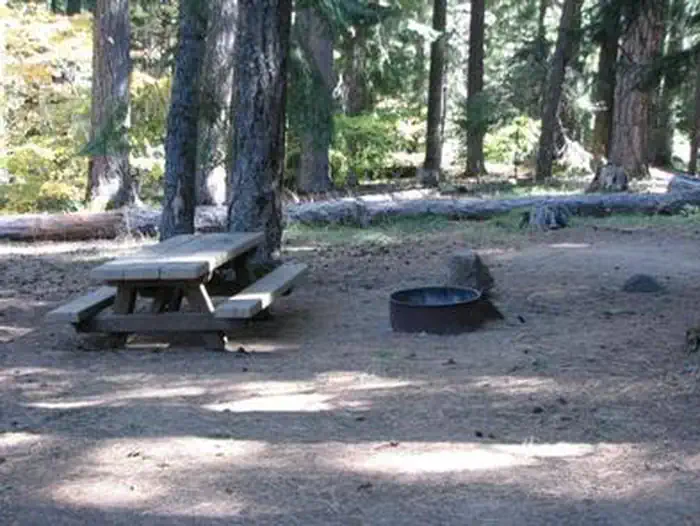
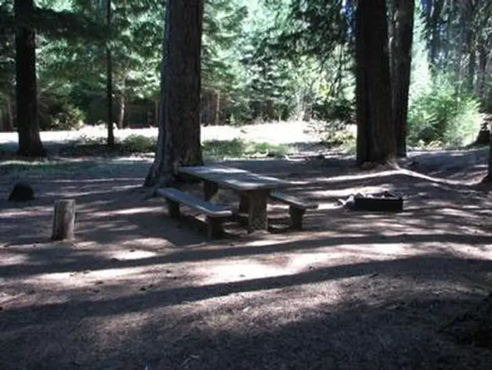
01 · CHARACTER
Reads strongest on shade and reservability. Softest on roomy sites.
Six axes, each scored relative to every other federal campground in the region: quiet (miles to a major road), cool (elevation), roomy (average site spacing), shade, RV-fit (longest rig), and how reservable it is. All six come from data, nothing hand-tuned.
When to go
02 · CLIMATE
avg highavg lowfrost-freedriest · Jul
May-Oct
Comfortable window: nights stay above 35°F, days below 90°F.
93%
Of summer weekend-days are dry.
May 3
Last spring frost; first fall frost Oct 12.
53°F
Average July low. Bring a fleece.
Getting there
03 · ACCESS
01
Portland
80 mi
2h25
02
Bend
88 mi
2h35
03
Eugene
177 mi
4h20
04
Medford
260 mi
6h29
By drive time
Routed road time (OSRM). Nearest major highway 1.4 mi away.
We synthesize public data layers: RIDB and Recreation.gov facility and site records, Open-Meteo climate normals, OpenStreetMap roads, trails, and water, OSRM drive times, and USGS elevation. We take no bookings, no ads, and no paid placements. Independence is the entire point.