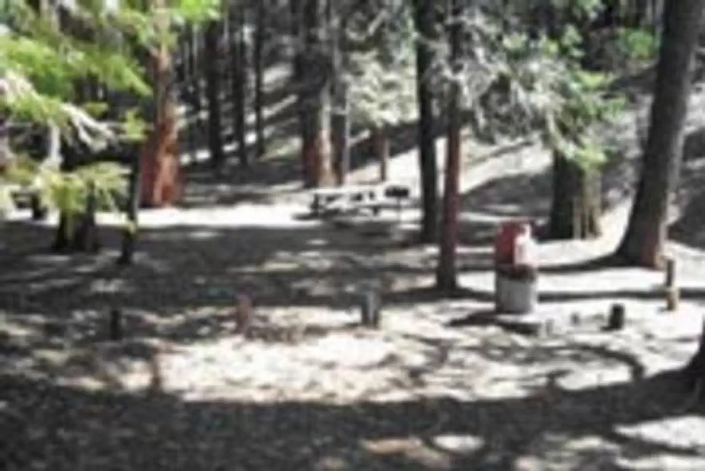
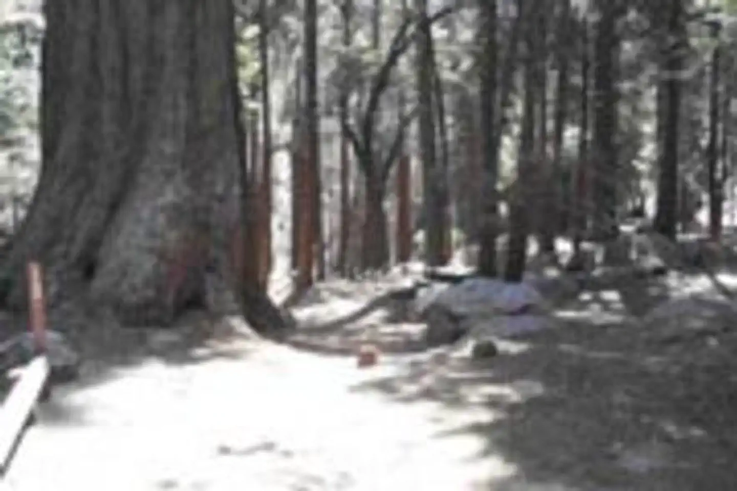
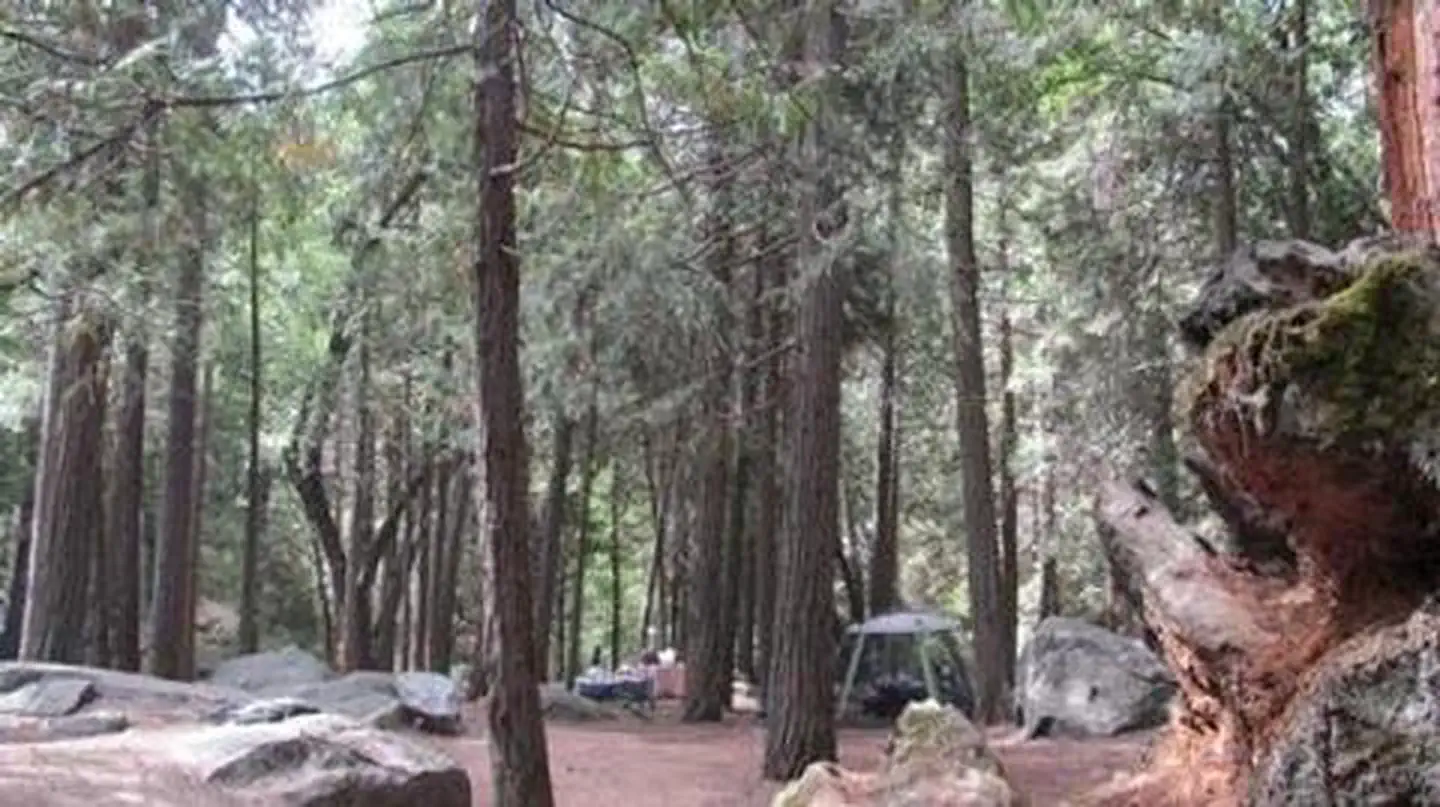
Overview Belknap Campground, elevation 4,800 feet, is located east of Porterville, CA off state highway 190 in the Giant Sequoia National Monument in the Western Divide Ranger District.
Sites1513 reservable
Elev.5,075ft
Comf.May-Oct6 months
Max rig20 ft
Electricnonesites
From Fresno2h15real road time
The honest read
Synthesized from RIDB · Open-Meteo OSM · OSRM Updated 2026-05-27
At 5,075 ft, Belknap has a 6-month comfortable window (May-Oct). Winter nights average around 25°F, so the shoulder seasons turn cold fast. 15 sites total: 13 reservable and 2 first-come, first-served. Within about 4 miles: 3 named hiking routes, 1 peak, lake or river access.
The campground at a glance
01 · CHARACTER
Reads strongest on shade and reservability. Softest on roomy sites.
Six axes, each scored relative to every other federal campground in the region: quiet (miles to a major road), cool (elevation), roomy (average site spacing), shade, RV-fit (longest rig), and how reservable it is. All six come from data, nothing hand-tuned.
When to go
02 · CLIMATE
avg highavg lowfrost-freedriest · Jul
May-Oct
Comfortable window: nights stay above 35°F, days below 90°F.
We synthesize public data layers: RIDB and Recreation.gov facility and site records, Open-Meteo climate normals, OpenStreetMap roads, trails, and water, OSRM drive times, and USGS elevation. We take no bookings, no ads, and no paid placements. Independence is the entire point.