Overview Secluded in the thick trees and rolling hills of Shenandoah National Park, the Big Meadows Campground is the ideal spot for an outdoor family getaway.
Sites224215 reservable
Elev.3,629ft
Comf.Apr-Oct7 months
Max rig70 ft28 pull-thru
Electricnonesites
From Richmond2h33real road time
The honest read
Synthesized from RIDB · Open-Meteo OSM · OSRM Updated 2026-05-27
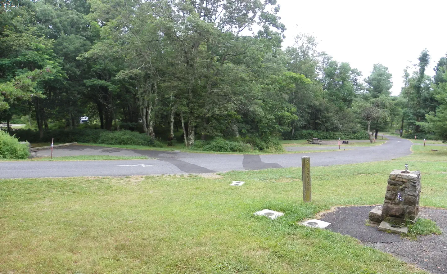
At 3,629 ft, Big Meadows Campground - Shenandoah (VA) has a 7-month comfortable window (Apr-Oct). Winter nights average around 19°F, so the shoulder seasons turn cold fast. 224 sites total: 215 reservable and 9 first-come, first-served. Of the sites, 28 pull-through, 51 walk-in, and the longest takes a 70-ft rig. This is bear country, and food-storage lockers are provided.
What campers say
SYNTHESIZED · RICH SIGNAL
Vibe
01 / 06
Calm and family first. Not a party scene.
Evenings stay quiet. Kids and deer wander the loops, and the ranger programs draw a crowd. When a late group runs loud, a polite ask usually settles it, and the cold high-elevation nights keep the rowdy crowd away.
Booking
02 / 06
Book well ahead. Walking in is not realistic.
It stays full most of the season. Site quality varies a lot from one number to the next, so picking your specific site matters as much as picking your date.
Sites
03 / 06
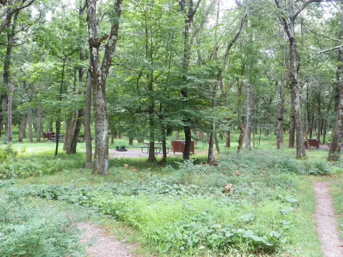
For seclusion, the tree-screened sites and the walk-in loop.
Campers point to site 24 and its neighbors and the walk-in loop. The meadow-side loops are more exposed and feel busier.
Weather
04 / 06
Pack for cold, even in summer.
Nights drop into the 30s and 40s at 3,600 feet. Bring a real sleeping bag and layers, not a fleece blanket. People who pack light tend to regret it by 2 a.m.
Facilities
05 / 06
Well served for a national-park campground.
Lodge restaurant on site, camp store, clean bathrooms. No hookups. The coin-op showers draw the most complaints, so bring quarters. Firewood runs about $20 for two bundles.
Wildlife & sky
06 / 06
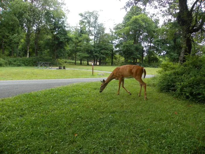
Wildlife is part of the deal.
Bears move through, so use the food lockers, and the deer ignore people. The recurring highlights are dark, star-heavy skies and walkable access to waterfalls and the Appalachian Trail.
Synthesized from public trip reports and forum discussion, summarized in our words and never quoted. This is durable sentiment, not a live feed.
The campground at a glance
01 · CHARACTER
Reads strongest on reservability and shade. Softest on roomy sites.
Six axes, each scored relative to every other federal campground in the region: quiet (miles to a major road), cool (elevation), roomy (average site spacing), shade, RV-fit (longest rig), and how reservable it is. All six come from data, nothing hand-tuned.
When to go
02 · CLIMATE
avg highavg lowfrost-freedriest · Jan
Apr-Oct
Comfortable window: nights stay above 35°F, days below 90°F.
68%
Of summer weekend-days are dry.
May 1
Last spring frost; first fall frost Oct 26.
61°F
Average July low. Bring a fleece.
Getting there
03 · ACCESS
01
Richmond
109 mi
2h33
02
Washington DC
102 mi
2h45
03
Roanoke
142 mi
3h07
04
Norfolk
200 mi
4h21
By drive time
Routed road time (OSRM). Nearest major highway 4.3 mi away.
Walk To Tent Only · prime location · walk-in · shaded.
To neighbor
133 ft
Location
Prime
Type
Walk-in
What's within four miles
05 · TRAILS · PEAKS · WATER
Trails & Peaks
Trail segments
7
Viewpoints
1
Water & Access
To nearest major road
4.3 mi
Method
We synthesize public data layers: RIDB and Recreation.gov facility and site records, Open-Meteo climate normals, OpenStreetMap roads, trails, and water, OSRM drive times, and USGS elevation. We take no bookings, no ads, and no paid placements. Independence is the entire point.