USFSGrand Mesa, Uncompahgre and Gunnison National Forest · Colorado
Black Bear Cabin AT Mesa Lakes (CO)
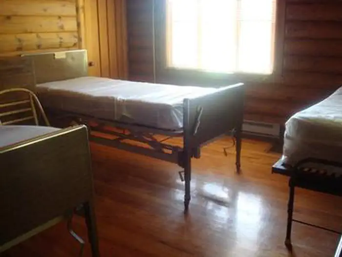
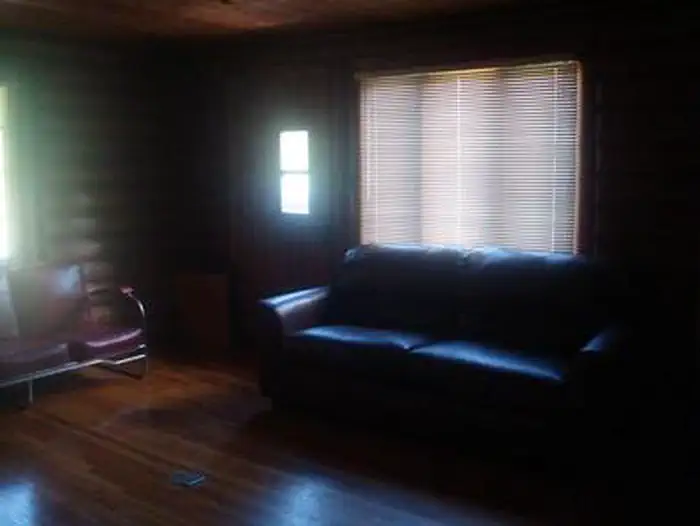
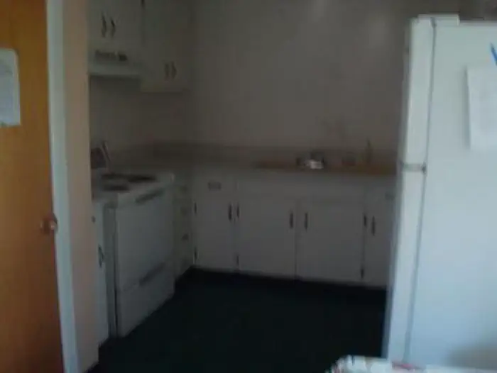
Overview Black Bear Cabin at Mesa Lakes offers guests the opportunity to experience an overnight stay in a traditional Forest Service Ranger Station.
Sites1all reservable
Elev.10,046ft
Comf.Jun-Sep4 months
Max rigtents
Electricnonesites
From Grand Junction1h09real road time
The honest read
Synthesized from RIDB · Open-Meteo OSM · OSRM Updated 2026-05-27
At 10,046 ft, Black Bear Cabin AT Mesa Lakes (CO) has a 4-month comfortable window (Jun-Sep). Winter nights average around 9°F, so the shoulder seasons turn cold fast. All 1 sites are reservable in advance, so plan ahead. Popular weekends book out. Within about 4 miles: 1 named hiking route, lake or river access.
The campground at a glance
01 · CHARACTER
Reads strongest on shade and reservability. Softest on quiet.
Six axes, each scored relative to every other federal campground in the region: quiet (miles to a major road), cool (elevation), roomy (average site spacing), shade, RV-fit (longest rig), and how reservable it is. All six come from data, nothing hand-tuned.
When to go
02 · CLIMATE
avg highavg lowfrost-freedriest · Nov
Jun-Sep
Comfortable window: nights stay above 35°F, days below 90°F.
63%
Of summer weekend-days are dry.
Jun 17
Last spring frost; first fall frost Sep 11.
48°F
Average July low. Bring a fleece.
Getting there
03 · ACCESS
01
Grand Junction
44 mi
1h09
02
Denver
238 mi
4h52
03
Fort Collins
298 mi
5h57
04
Colorado Springs
304 mi
6h03
By drive time
Routed road time (OSRM). Nearest major highway 13.6 mi away.
Picking your site
04 · 1 SITES
0
Pull-thru
0
Walk-in
0
50-amp
0
Accessible
0
Prime
1
Sites
What's within four miles
05 · TRAILS · PEAKS · WATER
Trails & Peaks
Named hiking routes
1
Trail segments
74
Viewpoints
3
Water & Access
Lake / river access
yes
To nearest major road
13.6 mi
Method
We synthesize public data layers: RIDB and Recreation.gov facility and site records, Open-Meteo climate normals, OpenStreetMap roads, trails, and water, OSRM drive times, and USGS elevation. We take no bookings, no ads, and no paid placements. Independence is the entire point.