Overview Planning a trip to the Black River Harbor Campground? Watch for Alerts at the top of the page for any Alerts regarding this facility.
Sites4026 reservable
Elev.594ft
Comf.May-Oct6 months
Max rigtents
Electricnonesites
From Marquette3h31real road time
The honest read
Synthesized from RIDB · Open-Meteo OSM · OSRM Updated 2026-05-27
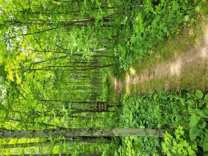
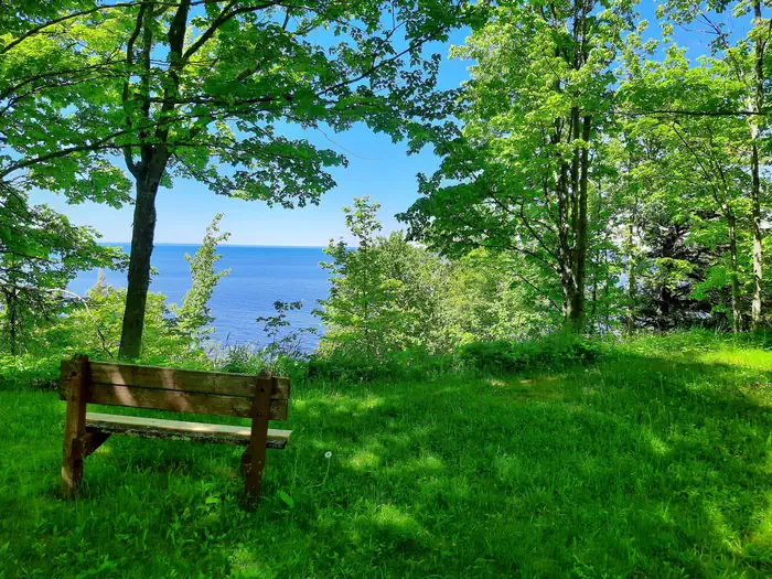
At 594 ft, Black River Harbor Campground has a 6-month comfortable window (May-Oct). Winter nights average around 15°F, so the shoulder seasons turn cold fast. 40 sites total: 26 reservable and 14 first-come, first-served. Within about 4 miles: 1 named hiking route, lake or river access.
The campground at a glance
01 · CHARACTER
Reads strongest on shade and quiet. Softest on roomy sites.
Six axes, each scored relative to every other federal campground in the region: quiet (miles to a major road), cool (elevation), roomy (average site spacing), shade, RV-fit (longest rig), and how reservable it is. All six come from data, nothing hand-tuned.
When to go
02 · CLIMATE
avg highavg lowfrost-freedriest · Jan
May-Oct
Comfortable window: nights stay above 35°F, days below 90°F.
79%
Of summer weekend-days are dry.
May 5
Last spring frost; first fall frost Oct 30.
63°F
Average July low.
Getting there
03 · ACCESS
01
Marquette
155 mi
3h31
02
Traverse City
439 mi
9h18
03
Grand Rapids
556 mi
11h05
04
Detroit
609 mi
11h52
By drive time
Routed road time (OSRM). Nearest major highway 13.1 mi away.
We synthesize public data layers: RIDB and Recreation.gov facility and site records, Open-Meteo climate normals, OpenStreetMap roads, trails, and water, OSRM drive times, and USGS elevation. We take no bookings, no ads, and no paid placements. Independence is the entire point.