Blue Lake Creek Campground - Gifford Pinchot NF (WA)
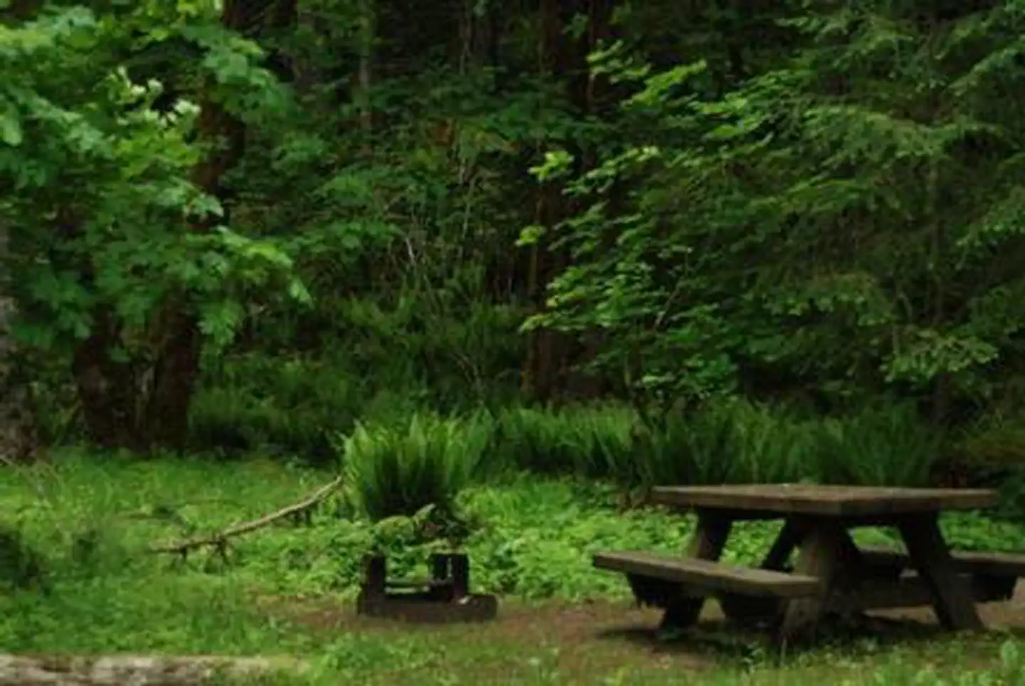
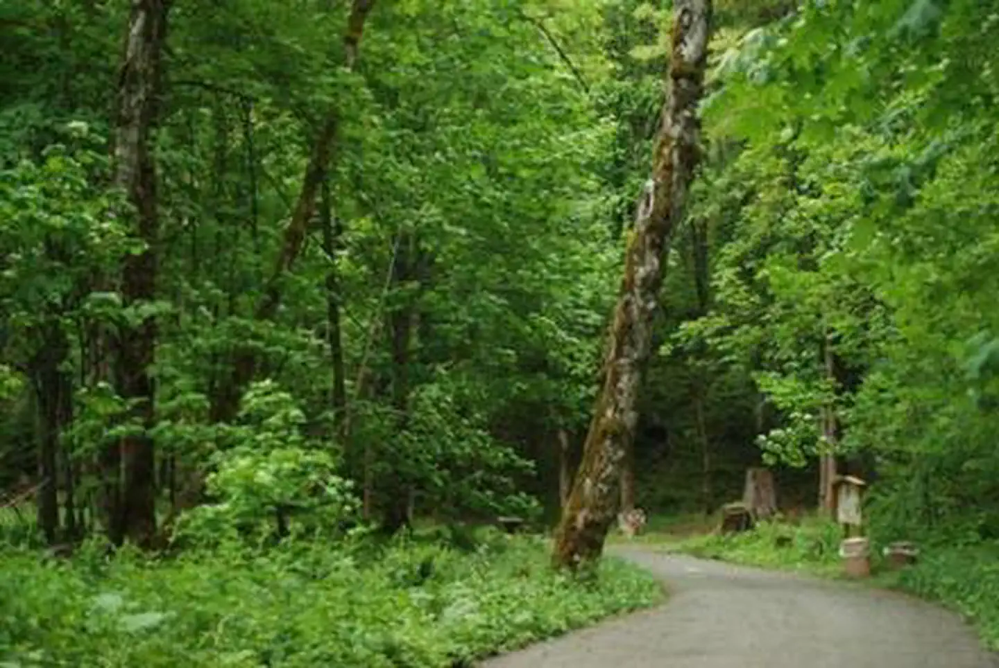
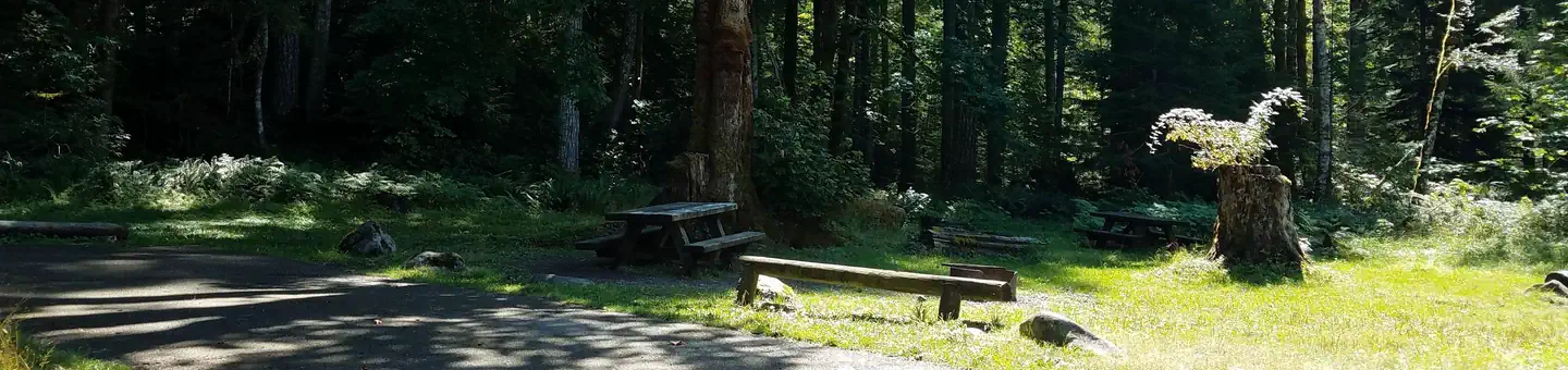
Overview In a well-shaded location among maple trees and ferns, Blue Lake Creek Campground offers open, grassy spaces with sites that can accommodate both tents and RVs with a small brook that babbles
Sites117 reservable
Elev.1,906ft
Comf.May-Nov7 months
Max rig48 ft
Electricnonesites
From Yakima2h29real road time
The honest read
Synthesized from RIDB · Open-Meteo OSM · OSRM Updated 2026-05-27
At 1,906 ft, Blue Lake Creek Campground - Gifford Pinchot NF (WA) has a 7-month comfortable window (May-Nov). Winter nights average around 32°F, so the shoulder seasons turn cold fast. 11 sites total: 7 reservable and 4 first-come, first-served. Within about 4 miles: 3 named hiking routes, 3 peaks, lake or river access.
The campground at a glance
01 · CHARACTER
Reads strongest on shade and reservability. Softest on roomy sites.
Six axes, each scored relative to every other federal campground in the region: quiet (miles to a major road), cool (elevation), roomy (average site spacing), shade, RV-fit (longest rig), and how reservable it is. All six come from data, nothing hand-tuned.
When to go
02 · CLIMATE
avg highavg lowfrost-freedriest · Jul
May-Nov
Comfortable window: nights stay above 35°F, days below 90°F.
77%
Of summer weekend-days are dry.
May 23
Last spring frost; first fall frost Oct 18.
53°F
Average July low.
Getting there
03 · ACCESS
01
Yakima
106 mi
2h29
02
Seattle
123 mi
3h10
03
Spokane
305 mi
6h05
By drive time
Routed road time (OSRM). Nearest major highway 9.2 mi away.
We synthesize public data layers: RIDB and Recreation.gov facility and site records, Open-Meteo climate normals, OpenStreetMap roads, trails, and water, OSRM drive times, and USGS elevation. We take no bookings, no ads, and no paid placements. Independence is the entire point.