Overview Lake Sonoma's Boat-In Sites are scattered around beautiful Lake Sonoma, only a 45-minute drive north of Santa Rosa and a two-hour drive from San Francisco.
Sites108all reservable
Elev.715ft
Comf.Jan-Dec10 months
Max rigtents
Electricnonesites
From San Francisco2h04real road time
The honest read
Synthesized from RIDB · Open-Meteo OSM · OSRM Updated 2026-05-27
At 715 ft, Boat-IN Sites (Lake Sonoma) has a 10-month comfortable window (Jan-Dec). Winter nights average around 42°F, so the shoulder seasons turn cold fast. All 108 sites are reservable in advance, so plan ahead. Popular weekends book out. Of the sites, 2 walk-in. Within about 4 miles: 4 peaks, lake or river access.
What campers say
SYNTHESIZED · MODERATE SIGNAL
Sites
01 / 05
Site quality is uneven and Rec.gov maps don't match the ground.
Campers report some pads are sloped, overgrown, or barely fit one tent, while others handle two comfortably. Skunk especially gets called out for sites 1-6 bunched on one peninsula, leading to overlap arguments when full.
Access
02 / 05
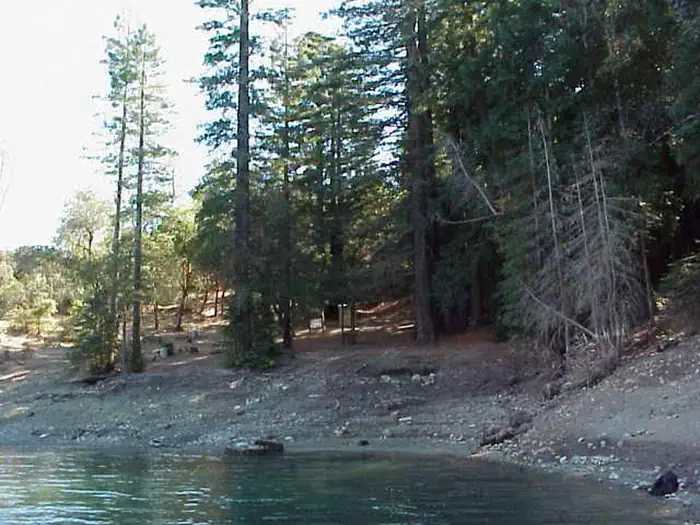
Boat or kayak only, with a steep hike up from the shoreline.
From the Yorty Creek hand-launch, sites run roughly 0.75 to 3.35 miles by water, and every site ends in a narrow, steep climb that rules out wheeled carts. Low lake levels expose mud at the landings, so campers aim for gravel or rock to step out.
Facilities
03 / 05
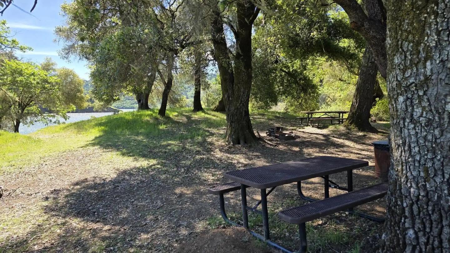
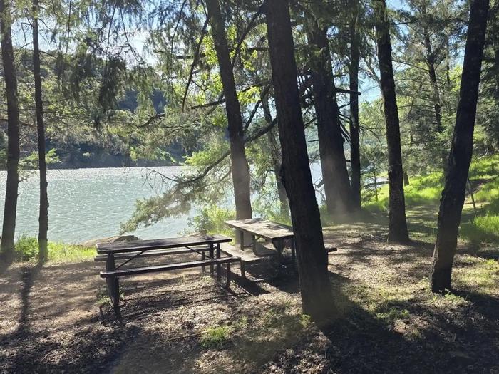
Chemical vault toilets, picnic table, fire ring, no potable water.
Each site has a table, fire ring, and lantern hook, with a pit toilet shared per cluster. There is no drinking water on the lake, so reviewers say pack everything in or bring a filter, and several flag the vaults as poorly maintained by late season.
Wildlife & sky
04 / 05
Raccoons at night and wasps in the heat are the recurring complaints.
Multiple campers describe raccoons working sites after dark and recommend hanging or hard-storing food. Yellowjackets and wasps show up around food and trash in summer, and trip reports also mention deer, turkeys, and the occasional bobcat.
Weather
05 / 05
Hot, dry, exposed summers with wind picking up on open arms.
Summer highs sit in the upper 90s and many sites have thin shade, so campers plan for sun cover and lake swims. Wind builds through the afternoon on the Warm Springs arm, while the Dry Creek arm stays calmer and quieter without ski boats.
Synthesized from public trip reports and forum discussion, summarized in our words and never quoted. This is durable sentiment, not a live feed.
The campground at a glance
01 · CHARACTER
Reads strongest on reservability and shade. Softest on roomy sites.
Six axes, each scored relative to every other federal campground in the region: quiet (miles to a major road), cool (elevation), roomy (average site spacing), shade, RV-fit (longest rig), and how reservable it is. All six come from data, nothing hand-tuned.
When to go
02 · CLIMATE
avg highavg lowfrost-freedriest · Jul
Jan-Dec
Comfortable window: nights stay above 35°F, days below 90°F.
98%
Of summer weekend-days are dry.
Feb 18
Last spring frost; first fall frost Dec 6.
58°F
Average July low.
Getting there
03 · ACCESS
01
San Francisco
93 mi
2h04
02
Sacramento
106 mi
2h21
03
Fresno
289 mi
6h25
04
Los Angeles
541 mi
12h01
05
San Diego
686 mi
15h15
By drive time
Routed road time (OSRM). Nearest major highway 3.4 mi away.
We synthesize public data layers: RIDB and Recreation.gov facility and site records, Open-Meteo climate normals, OpenStreetMap roads, trails, and water, OSRM drive times, and USGS elevation. We take no bookings, no ads, and no paid placements. Independence is the entire point.