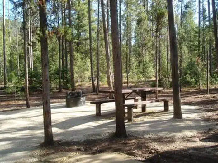
Overview Boundary Creek Campground is located at the edge of the Frank Church River of No Return Wilderness, adjacent to the boat launch for the Middle Fork of the Salmon River in Idaho.
Sites5all reservable
Elev.5,673ft
Comf.Jun-Sep4 months
Max rigtents
Electricnonesites
From Boise3h57real road time
The honest read
Synthesized from RIDB · Open-Meteo OSM · OSRM Updated 2026-05-27
At 5,673 ft, Boundary Creek Campground has a 4-month comfortable window (Jun-Sep). Winter nights average around 15°F, so the shoulder seasons turn cold fast. All 5 sites are reservable in advance, so plan ahead. Popular weekends book out. Within about 4 miles: 1 named hiking route, 1 peak, lake or river access.
The campground at a glance
01 · CHARACTER
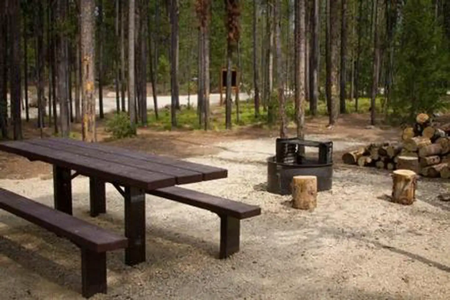
Reads strongest on shade and reservability. Softest on roomy sites.
Six axes, each scored relative to every other federal campground in the region: quiet (miles to a major road), cool (elevation), roomy (average site spacing), shade, RV-fit (longest rig), and how reservable it is. All six come from data, nothing hand-tuned.
When to go
02 · CLIMATE
avg highavg lowfrost-freedriest · Jul
Jun-Sep
Comfortable window: nights stay above 35°F, days below 90°F.
82%
Of summer weekend-days are dry.
Jun 20
Last spring frost; first fall frost Sep 24.
48°F
Average July low. Bring a fleece.
Getting there
03 · ACCESS
01
Boise
132 mi
3h57
02
Idaho Falls
243 mi
5h45
03
Coeur d'Alene
382 mi
9h52
By drive time
Routed road time (OSRM). Nearest major highway 11.2 mi away.
We synthesize public data layers: RIDB and Recreation.gov facility and site records, Open-Meteo climate normals, OpenStreetMap roads, trails, and water, OSRM drive times, and USGS elevation. We take no bookings, no ads, and no paid placements. Independence is the entire point.