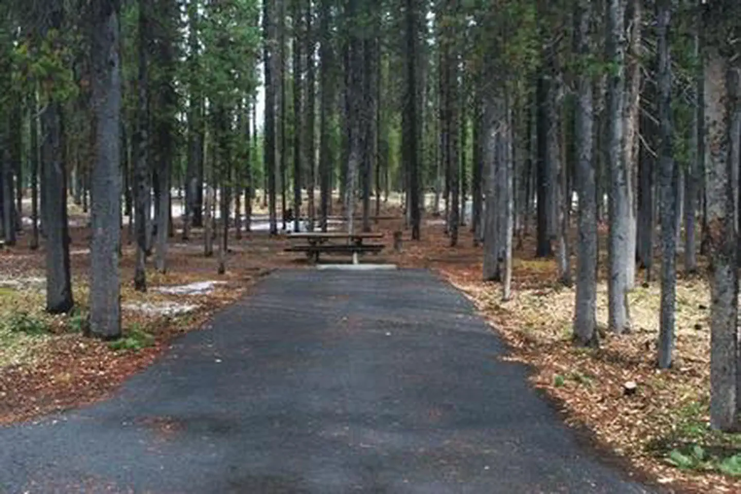
Overview Set back in lodgepole pine forest at the south end of Diamond Lake, Broken Arrow Campground is a quiet retreat for family and large group camping excursions in Umpqua National Forest.
Sites275134 reservable
Elev.5,203ft
Comf.Jun-Oct5 months
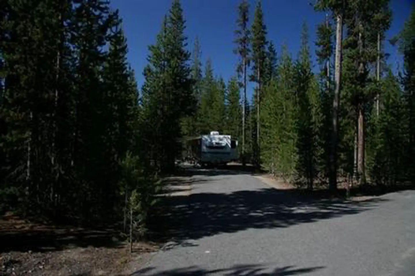
Max rig99 ft5 pull-thru
Electricnonesites
From Medford2h02real road time
The honest read
Synthesized from RIDB · Open-Meteo OSM · OSRM Updated 2026-05-27
At 5,203 ft, Broken Arrow Campground has a 5-month comfortable window (Jun-Oct). Winter nights average around 26°F, so the shoulder seasons turn cold fast. 275 sites total: 134 reservable and 141 first-come, first-served. Of the sites, 5 pull-through, and the longest takes a 99-ft rig. Within about 4 miles: 1 named hiking route, 1 peak, lake or river access.
What campers say
SYNTHESIZED · RICH SIGNAL
Vibe
01 / 06
Quiet forest big-campground feel, not a lakefront resort experience.
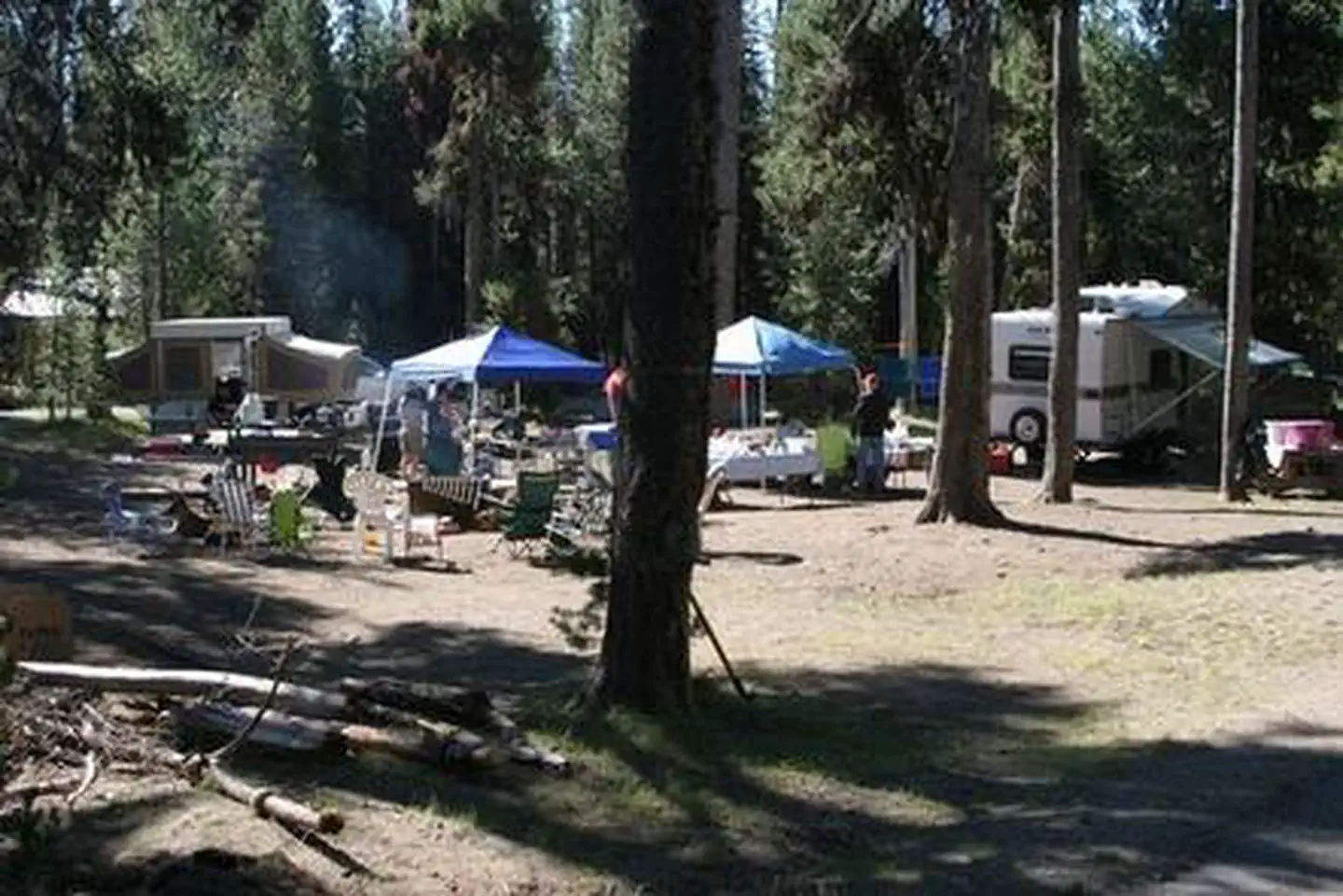
Reviewers describe a low-key, respectful crowd spread across multiple loops in lodgepole forest, with little road noise but the obvious scale of a 275-site facility. Sites are set back from the water, so the atmosphere is woodsy rather than beachfront.
Water
02 / 06
Diamond Lake is across the road, reached by a short walk or paved path.
No sites sit directly on the shoreline despite the campground's lake name, and several visitors arrive expecting waterfront and are surprised. The lake is a few minutes on foot or bike, with boat ramps and a swim beach nearby.
Wildlife & sky
03 / 06
Mosquitoes are the dominant complaint, worst in June and July.
Multiple sources call the bugs relentless at dawn, dusk, and often all day during early summer, with campers recommending heavy repellent, head nets, and smoke. Conditions ease noticeably by late August as the meadows dry out.
Views
04 / 06
Mt Thielsen and Mt Bailey loom over the lake, though not from every site.
The signature views are the snow-streaked Thielsen spire to the east and the broader Bailey dome to the west, best seen from the lakeshore and bike path. Interior loops are tucked in trees and do not get the mountain backdrop.
Facilities
05 / 06
Free hot showers and flush toilets, cleanliness varies by week.
The free 24-hour showers and dump station are repeatedly singled out as unusually good for a USFS campground at this price. Bathroom upkeep is inconsistent though, with mildew, hair in drains, and worn shower buildings flagged in multiple reviews.
Trails & access
06 / 06
Paved 11-mile lake loop and Crater Lake 15 minutes south.
The paved bike and walking path circling Diamond Lake is the on-site highlight, and the Mt Bailey trail plus PCT access sit within a short drive. Crater Lake National Park's north entrance is roughly 15 minutes away, which is why many parties book here instead of inside the park.
Synthesized from public trip reports and forum discussion, summarized in our words and never quoted. This is durable sentiment, not a live feed.
The campground at a glance
01 · CHARACTER
Reads strongest on reservability and cool nights. Softest on roomy sites.
Six axes, each scored relative to every other federal campground in the region: quiet (miles to a major road), cool (elevation), roomy (average site spacing), shade, RV-fit (longest rig), and how reservable it is. All six come from data, nothing hand-tuned.
When to go
02 · CLIMATE
avg highavg lowfrost-freedriest · Jul
Jun-Oct
Comfortable window: nights stay above 35°F, days below 90°F.
89%
Of summer weekend-days are dry.
Jun 12
Last spring frost; first fall frost Oct 13.
51°F
Average July low. Bring a fleece.
Getting there
03 · ACCESS
01
Medford
81 mi
2h02
02
Bend
94 mi
2h05
03
Eugene
131 mi
3h03
04
Portland
236 mi
5h08
By drive time
Routed road time (OSRM). Nearest major highway 0.6 mi away.
We synthesize public data layers: RIDB and Recreation.gov facility and site records, Open-Meteo climate normals, OpenStreetMap roads, trails, and water, OSRM drive times, and USGS elevation. We take no bookings, no ads, and no paid placements. Independence is the entire point.