USFSNational Forests and Grasslands in Texas · Texas
Cagle Recreation Area
Overview Cagle Recreation Area is a popular campground and day-use area that sits along the shoreline of Lake Conroe on the west fork of the San Jacinto River, just 1 hour north of Houston, Texas.
Sites4741 reservable
Elev.338ft
Comf.Jan-Dec9 months
Max rig60 ft
Electric4747×50-amp
From Houston1h10real road time
The honest read
Synthesized from RIDB · Open-Meteo OSM · OSRM Updated 2026-05-27
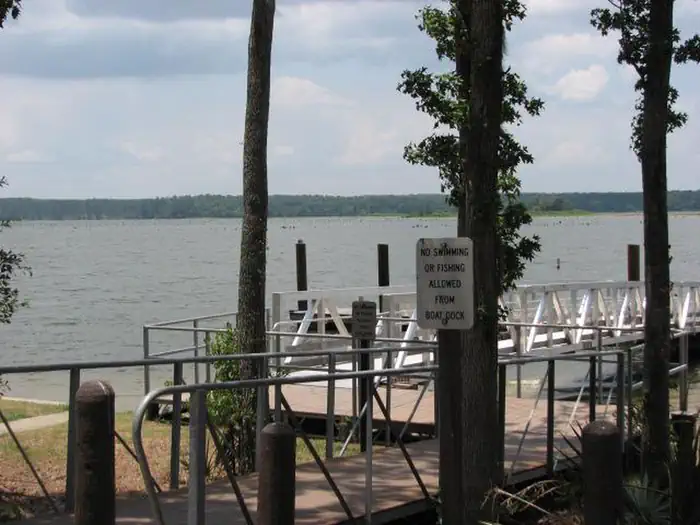
At 338 ft, Cagle Recreation Area has a 9-month comfortable window (Jan-Dec). Winter nights average around 45°F, so the shoulder seasons turn cold fast. 47 sites total: 41 reservable and 6 first-come, first-served. Of the sites, 47 with 50-amp, and the longest takes a 60-ft rig. Within about 4 miles: lake or river access.
The campground at a glance
01 · CHARACTER
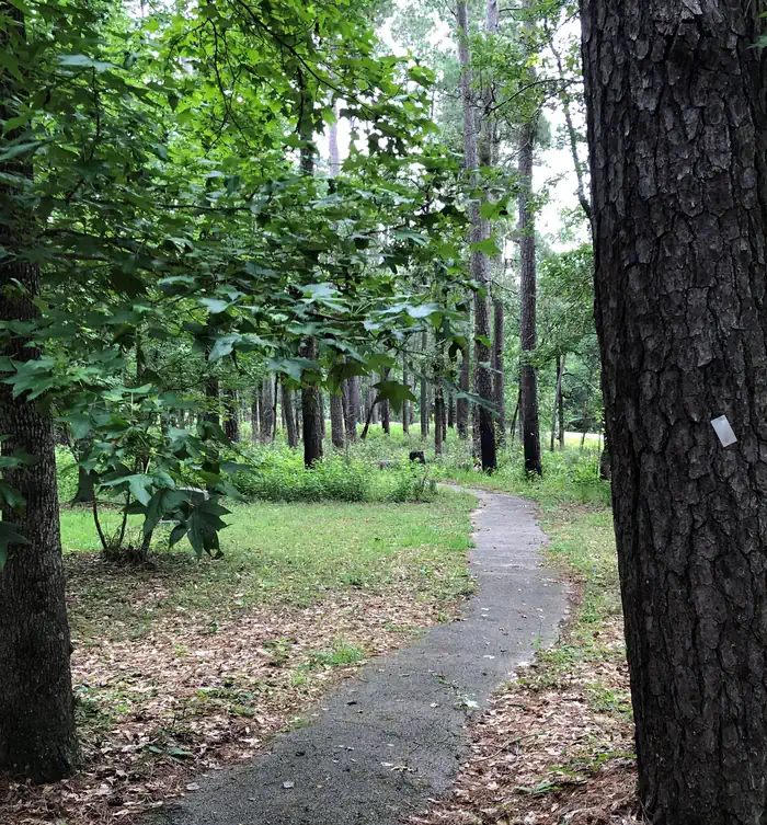
Reads strongest on shade and reservability. Softest on roomy sites.
Six axes, each scored relative to every other federal campground in the region: quiet (miles to a major road), cool (elevation), roomy (average site spacing), shade, RV-fit (longest rig), and how reservable it is. All six come from data, nothing hand-tuned.
When to go
02 · CLIMATE
avg highavg lowfrost-freedriest · Aug
Jan-Dec
Comfortable window: nights stay above 35°F, days below 90°F.
76%
Of summer weekend-days are dry.
Feb 22
Last spring frost; first fall frost Dec 6.
76°F
Average July low.
Getting there
03 · ACCESS
01
Houston
58 mi
1h10
02
Dallas
186 mi
3h16
03
Austin
158 mi
3h20
04
San Antonio
242 mi
4h21
By drive time
Routed road time (OSRM). Nearest major highway 2.4 mi away.
We synthesize public data layers: RIDB and Recreation.gov facility and site records, Open-Meteo climate normals, OpenStreetMap roads, trails, and water, OSRM drive times, and USGS elevation. We take no bookings, no ads, and no paid placements. Independence is the entire point.