NPSGreat Smoky Mountains National Park · North Carolina
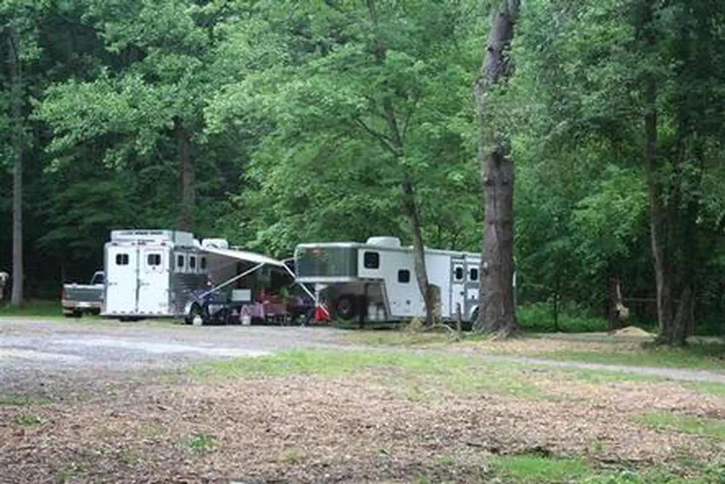
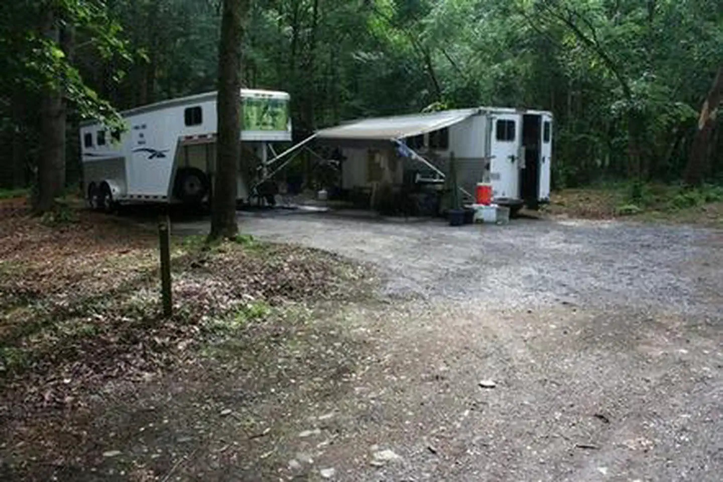
Cataloochee Horse Camp
Overview Located in the scenic Cataloochee Valley, tucked in a cool and shady canopy, this campground offers the best that the Great Smoky Mountains National park has to offer, including some of the m
Sites7all reservable
Elev.2,805ft
Comf.Mar-Nov9 months
Max rig30 ft
Electricnonesites
From Asheville1h31real road time
The honest read
Synthesized from RIDB · Open-Meteo OSM · OSRM Updated 2026-05-27
At 2,805 ft, Cataloochee Horse Camp has a 9-month comfortable window (Mar-Nov). Winter nights average around 30°F, so the shoulder seasons turn cold fast. All 7 sites are reservable in advance, so plan ahead. Popular weekends book out. Within about 4 miles: 2 named hiking routes, 9 peaks, lake or river access.
The campground at a glance
01 · CHARACTER
Reads strongest on shade and reservability. Softest on roomy sites.
Six axes, each scored relative to every other federal campground in the region: quiet (miles to a major road), cool (elevation), roomy (average site spacing), shade, RV-fit (longest rig), and how reservable it is. All six come from data, nothing hand-tuned.
When to go
02 · CLIMATE
avg highavg lowfrost-freedriest · Nov
Mar-Nov
Comfortable window: nights stay above 35°F, days below 90°F.
68%
Of summer weekend-days are dry.
Apr 19
Last spring frost; first fall frost Oct 30.
64°F
Average July low. Bring a fleece.
Getting there
03 · ACCESS
01
Asheville
43 mi
1h31
02
Charlotte
157 mi
3h50
03
Raleigh
288 mi
6h16
By drive time
Routed road time (OSRM). Nearest major highway 5.9 mi away.
We synthesize public data layers: RIDB and Recreation.gov facility and site records, Open-Meteo climate normals, OpenStreetMap roads, trails, and water, OSRM drive times, and USGS elevation. We take no bookings, no ads, and no paid placements. Independence is the entire point.