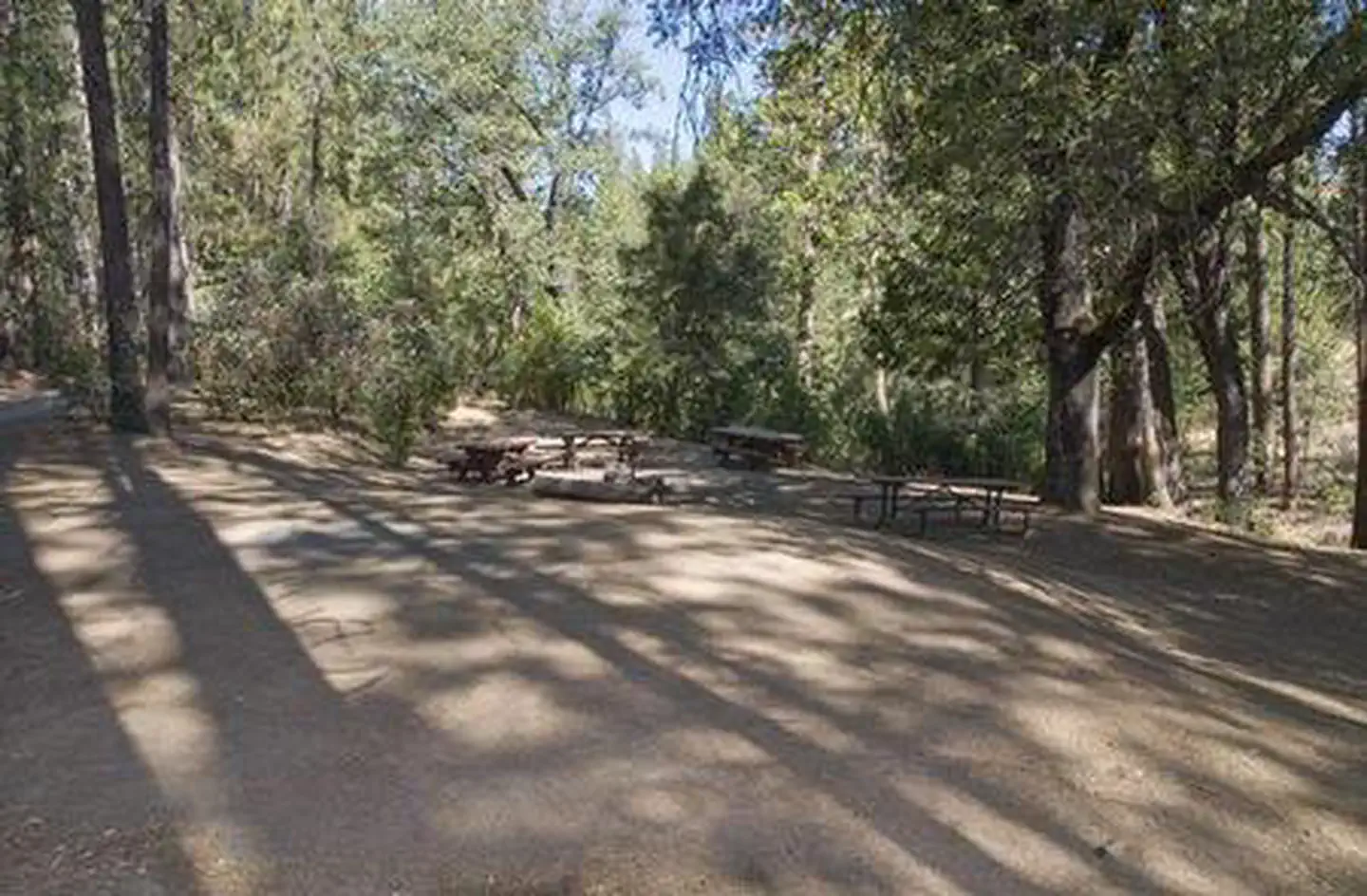
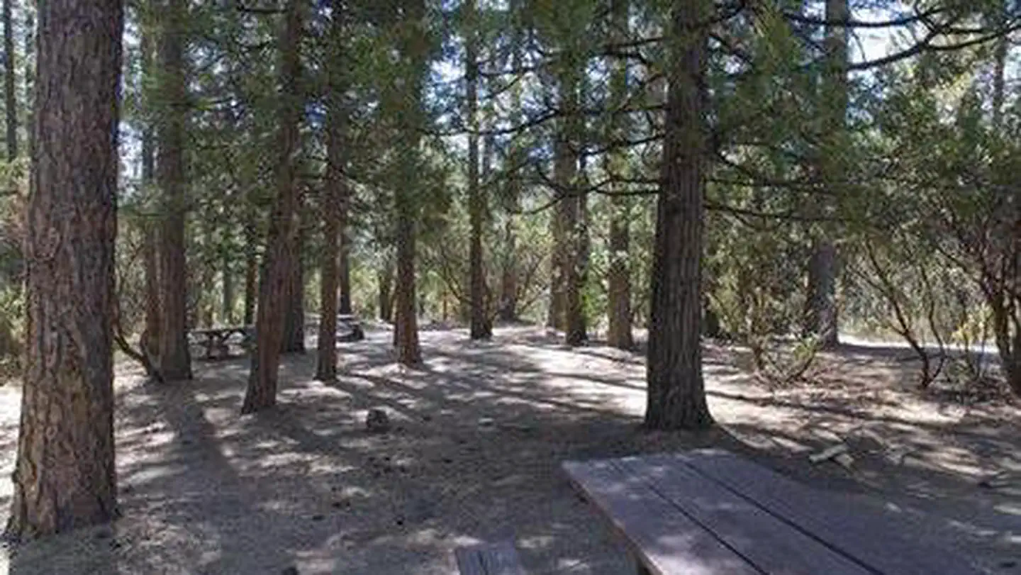
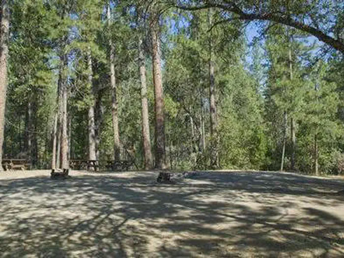
Overview Crane Valley will be closed the entire 2019 - 2028 camping season due to a massive hazard tree removal Crane Valley Group Campground is located adjacent to Bass Lake and can accommodate up to
Sites7all reservable
Elev.3,524ft
Comf.Apr-Nov8 months
Max rig45 ft
Electricnonesites
From Fresno1h13real road time
The honest read
Synthesized from RIDB · Open-Meteo OSM · OSRM Updated 2026-05-27
At 3,524 ft, Crane Valley has a 8-month comfortable window (Apr-Nov). Winter nights average around 32°F, so the shoulder seasons turn cold fast. All 7 sites are reservable in advance, so plan ahead. Popular weekends book out. Within about 4 miles: 1 named hiking route, 3 peaks, lake or river access.
The campground at a glance
01 · CHARACTER
Reads strongest on reservability and shade. Softest on roomy sites.
Six axes, each scored relative to every other federal campground in the region: quiet (miles to a major road), cool (elevation), roomy (average site spacing), shade, RV-fit (longest rig), and how reservable it is. All six come from data, nothing hand-tuned.
When to go
02 · CLIMATE
avg highavg lowfrost-freedriest · Jul
Apr-Nov
Comfortable window: nights stay above 35°F, days below 90°F.
98%
Of summer weekend-days are dry.
May 12
Last spring frost; first fall frost Nov 6.
61°F
Average July low. Bring a fleece.
Getting there
03 · ACCESS
01
Fresno
55 mi
1h13
02
Sacramento
176 mi
3h55
03
San Francisco
206 mi
4h35
04
Los Angeles
311 mi
6h55
05
San Diego
451 mi
10h01
By drive time
Routed road time (OSRM). Nearest major highway 3.2 mi away.
We synthesize public data layers: RIDB and Recreation.gov facility and site records, Open-Meteo climate normals, OpenStreetMap roads, trails, and water, OSRM drive times, and USGS elevation. We take no bookings, no ads, and no paid placements. Independence is the entire point.