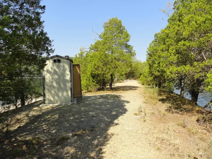
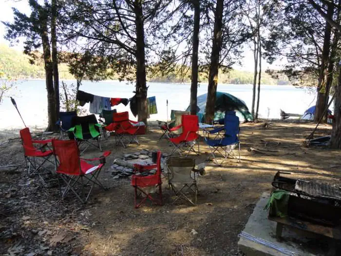
Overview Dale Hollow Lake Primitive Camping is a unique series of 32 locations with a total of over 70 individually designated family campsites dispersed over 620 miles of shoreline.
Sites8355 reservable
Elev.883ft
Comf.Feb-Dec11 months
Max rigtents
Electricnonesites
From Nashville2h18real road time
The honest read
Synthesized from RIDB · Open-Meteo OSM · OSRM Updated 2026-05-27
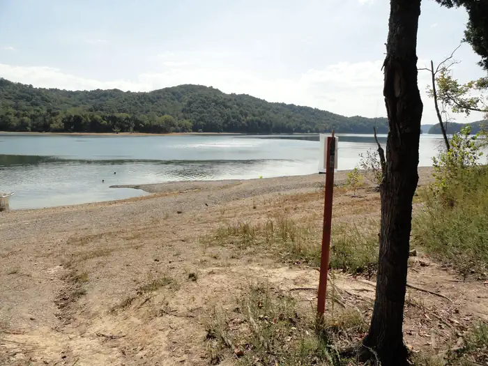
At 883 ft, Dale Hollow Lake - Primitive Camping has a 11-month comfortable window (Feb-Dec). Winter nights average around 33°F, so the shoulder seasons turn cold fast. 83 sites total: 55 reservable and 28 first-come, first-served. Of the sites, 2 walk-in. Within about 4 miles: 2 peaks, lake or river access.
The campground at a glance
01 · CHARACTER
Reads strongest on reservability and shade. Softest on roomy sites.
Six axes, each scored relative to every other federal campground in the region: quiet (miles to a major road), cool (elevation), roomy (average site spacing), shade, RV-fit (longest rig), and how reservable it is. All six come from data, nothing hand-tuned.
When to go
02 · CLIMATE
avg highavg lowfrost-freedriest · Sep
Feb-Dec
Comfortable window: nights stay above 35°F, days below 90°F.
61%
Of summer weekend-days are dry.
Apr 1
Last spring frost; first fall frost Nov 6.
70°F
Average July low.
Getting there
03 · ACCESS
01
Nashville
98 mi
2h18
02
Knoxville
128 mi
2h36
03
Chattanooga
136 mi
2h54
04
Memphis
308 mi
6h06
By drive time
Routed road time (OSRM). Nearest major highway 1.5 mi away.
We synthesize public data layers: RIDB and Recreation.gov facility and site records, Open-Meteo climate normals, OpenStreetMap roads, trails, and water, OSRM drive times, and USGS elevation. We take no bookings, no ads, and no paid placements. Independence is the entire point.