Overview Devil Creek Campground is located 32 miles southeast of West Glacier, Montana, and six miles west of Marias Pass, a high mountain pass located in Glacier National Park.
Sites137 reservable
Elev.4,386ft
Comf.May-Sep5 months
Max rigtents
Electricnonesites
From Missoula3h43real road time
The honest read
Synthesized from RIDB · Open-Meteo OSM · OSRM Updated 2026-05-27
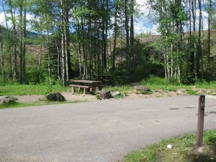
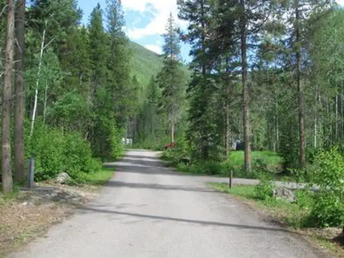
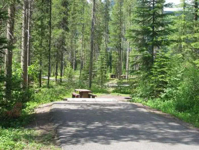
At 4,386 ft, Devil Creek Campground has a 5-month comfortable window (May-Sep). Winter nights average around 18°F, so the shoulder seasons turn cold fast. 13 sites total: 7 reservable and 6 first-come, first-served. Within about 4 miles: 5 peaks, lake or river access.
The campground at a glance
01 · CHARACTER
Reads strongest on shade and reservability. Softest on roomy sites.
Six axes, each scored relative to every other federal campground in the region: quiet (miles to a major road), cool (elevation), roomy (average site spacing), shade, RV-fit (longest rig), and how reservable it is. All six come from data, nothing hand-tuned.
When to go
02 · CLIMATE
avg highavg lowfrost-freedriest · Jul
May-Sep
Comfortable window: nights stay above 35°F, days below 90°F.
81%
Of summer weekend-days are dry.
May 23
Last spring frost; first fall frost Sep 24.
52°F
Average July low. Bring a fleece.
Getting there
03 · ACCESS
01
Missoula
173 mi
3h43
02
Helena
208 mi
4h08
03
Bozeman
303 mi
5h51
04
Billings
375 mi
7h06
By drive time
Routed road time (OSRM). Nearest major highway 0.1 mi away.
We synthesize public data layers: RIDB and Recreation.gov facility and site records, Open-Meteo climate normals, OpenStreetMap roads, trails, and water, OSRM drive times, and USGS elevation. We take no bookings, no ads, and no paid placements. Independence is the entire point.