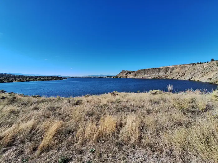
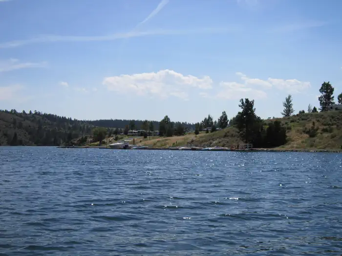
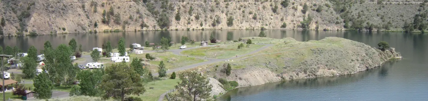
Overview Devil's Elbow Recreation Area is situated on the picturesque "Devil's Elbow" of Hauser Lake.
Sites4943 reservable
Elev.3,717ft
Comf.May-Oct6 months
Max rig60 ft
Electricnonesites
From Helena0h25real road time
The honest read
Synthesized from RIDB · Open-Meteo OSM · OSRM Updated 2026-05-27
At 3,717 ft, Devil'S Elbow Campground has a 6-month comfortable window (May-Oct). Winter nights average around 23°F, so the shoulder seasons turn cold fast. 49 sites total: 43 reservable and 6 first-come, first-served.
The campground at a glance
01 · CHARACTER
Reads strongest on shade and reservability. Softest on roomy sites.
Six axes, each scored relative to every other federal campground in the region: quiet (miles to a major road), cool (elevation), roomy (average site spacing), shade, RV-fit (longest rig), and how reservable it is. All six come from data, nothing hand-tuned.
When to go
02 · CLIMATE
avg highavg lowfrost-freedriest · Jul
May-Oct
Comfortable window: nights stay above 35°F, days below 90°F.
84%
Of summer weekend-days are dry.
May 7
Last spring frost; first fall frost Oct 15.
60°F
Average July low. Bring a fleece.
Getting there
03 · ACCESS
01
Helena
16 mi
0h25
02
Bozeman
102 mi
1h57
03
Missoula
130 mi
2h23
04
Billings
243 mi
4h18
By drive time
Routed road time (OSRM). Nearest major highway 8.5 mi away.
We synthesize public data layers: RIDB and Recreation.gov facility and site records, Open-Meteo climate normals, OpenStreetMap roads, trails, and water, OSRM drive times, and USGS elevation. We take no bookings, no ads, and no paid placements. Independence is the entire point.