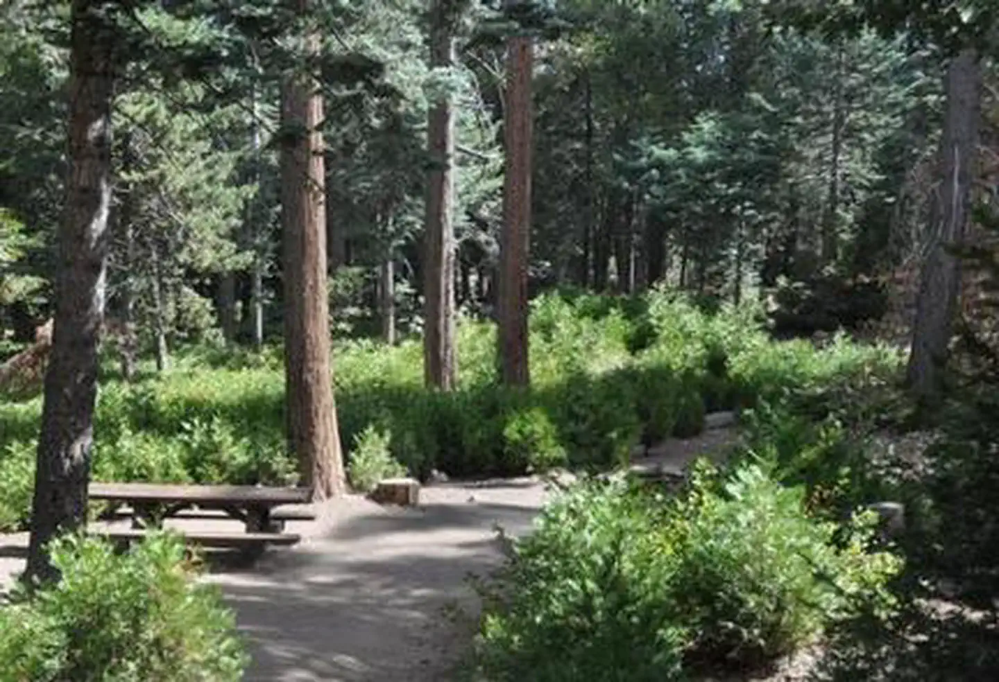
Overview Dogwood Campground is a family-friendly facility located in the heart of the San Bernardino National Forest.
Sites9285 reservable
Elev.5,725ft
Comf.Apr-Nov8 months
Max rig55 ft
Electric197×50-amp
From Los Angeles1h44real road time
The honest read
Synthesized from RIDB · Open-Meteo OSM · OSRM Updated 2026-05-27
At 5,725 ft, Dogwood has a 8-month comfortable window (Apr-Nov). Winter nights average around 32°F, so the shoulder seasons turn cold fast. 92 sites total: 85 reservable and 7 first-come, first-served. Of the sites, 7 with 50-amp, and the longest takes a 55-ft rig. This is bear country, and food-storage lockers are provided. Within about 4 miles: 6 peaks, lake or river access.
What campers say
SYNTHESIZED · MODERATE SIGNAL
Vibe
01 / 05
Real forest feel under dense pine and cedar canopy, not a parking-lot campground.
Multiple reviewers describe heavy shade from tall pines, cedars, oaks, and firs that makes most loops feel genuinely wooded. Sites are spaced enough that privacy holds up even at full occupancy.
Access
02 / 05
Highway 18 and high school football noise carry into some sites.
The campground sits at the junction of SR-18 and SR-189 next to Rim of the World High School, and campers consistently mention traffic hum plus occasional fall Friday game noise. Impact depends heavily on site choice, with interior loops quieter than edges.
Booking
03 / 05
Book months ahead for summer weekends; all 87 sites reservable, no walk-ups.
Recreation.gov is the only path in and prime summer dates go fast, though last-minute cancellations inside the 48-hour window occasionally open up. Season typically runs mid-April through end of October.
Facilities
04 / 05
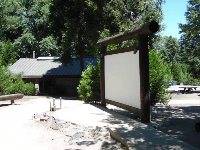
Hosts and bathrooms get consistent praise, but the dump station charges $10.
Campers repeatedly call out hosts raking sites between stays and keeping flush toilets and hot showers clean. The $10 dump fee applying even to registered guests is the most common gripe alongside some unlevel pads that need 4 to 6 inches of leveling.
Wildlife & sky
05 / 05
Yellow jackets are the real pest, not the bears.
Bears pass through and food must go in hard storage, but the complaint that shows up in nearly every review is aggressive yellow jackets in late summer despite hanging traps around the loops. Squirrels and birds are constant background.
Synthesized from public trip reports and forum discussion, summarized in our words and never quoted. This is durable sentiment, not a live feed.
The campground at a glance
01 · CHARACTER
Reads strongest on reservability and shade. Softest on roomy sites.
Six axes, each scored relative to every other federal campground in the region: quiet (miles to a major road), cool (elevation), roomy (average site spacing), shade, RV-fit (longest rig), and how reservable it is. All six come from data, nothing hand-tuned.
When to go
02 · CLIMATE
avg highavg lowfrost-freedriest · Jun
Apr-Nov
Comfortable window: nights stay above 35°F, days below 90°F.
98%
Of summer weekend-days are dry.
May 10
Last spring frost; first fall frost Nov 3.
62°F
Average July low. Bring a fleece.
Getting there
03 · ACCESS
01
Los Angeles
78 mi
1h44
02
San Diego
137 mi
3h03
03
Fresno
293 mi
6h31
04
San Francisco
494 mi
10h59
05
Sacramento
498 mi
11h04
By drive time
Routed road time (OSRM). Nearest major highway 0.3 mi away.
We synthesize public data layers: RIDB and Recreation.gov facility and site records, Open-Meteo climate normals, OpenStreetMap roads, trails, and water, OSRM drive times, and USGS elevation. We take no bookings, no ads, and no paid placements. Independence is the entire point.