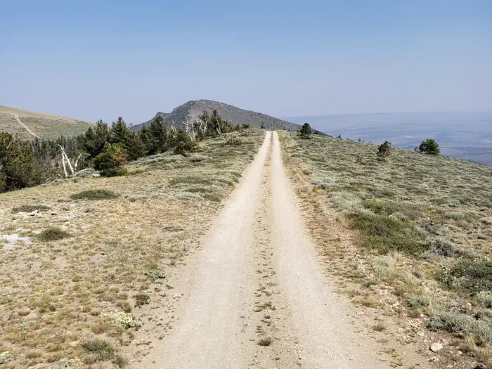
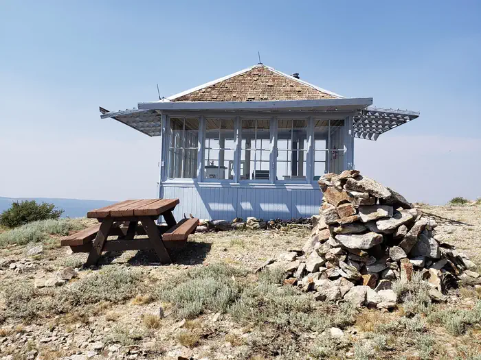
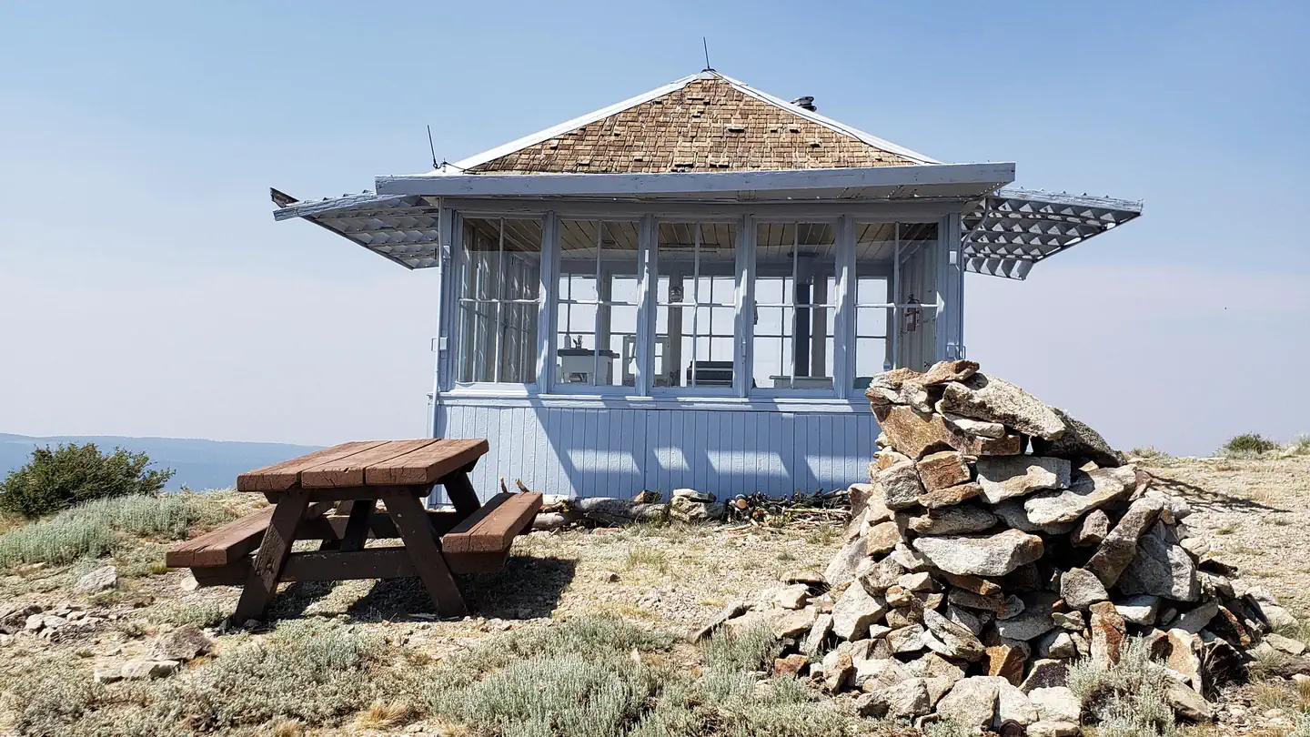
Overview Located on the crest of the Warner Mountain Range at an elevation of 8,222 feet, Drake Peak Lookout hugs the wind-swept land surrounding it, offering unparalleled views into Oregon, Californi
Sites1all reservable
Elev.8,186ft
Comf.Jun-Sep4 months
Max rigtents
Electricnonesites
From Medford4h57real road time
The honest read
Synthesized from RIDB · Open-Meteo OSM · OSRM Updated 2026-05-27
At 8,186 ft, Drake Peak Lookout has a 4-month comfortable window (Jun-Sep). Winter nights average around 15°F, so the shoulder seasons turn cold fast. All 1 sites are reservable in advance, so plan ahead. Popular weekends book out. Within about 4 miles: 2 named hiking routes, 8 peaks, lake or river access.
The campground at a glance
01 · CHARACTER
Reads strongest on reservability and cool nights. Softest on shade.
Six axes, each scored relative to every other federal campground in the region: quiet (miles to a major road), cool (elevation), roomy (average site spacing), shade, RV-fit (longest rig), and how reservable it is. All six come from data, nothing hand-tuned.
When to go
02 · CLIMATE
avg highavg lowfrost-freedriest · Jul
Jun-Sep
Comfortable window: nights stay above 35°F, days below 90°F.
91%
Of summer weekend-days are dry.
Jun 22
Last spring frost; first fall frost Sep 12.
45°F
Average July low. Bring a fleece.
Getting there
03 · ACCESS
01
Medford
200 mi
4h57
02
Bend
190 mi
5h03
03
Eugene
266 mi
6h42
04
Portland
371 mi
8h47
By drive time
Routed road time (OSRM). Nearest major highway 5.5 mi away.
Picking your site
04 · 1 SITES
0
Pull-thru
0
Walk-in
0
50-amp
0
Accessible
0
Prime
1
Sites
What's within four miles
05 · TRAILS · PEAKS · WATER
Trails & Peaks
Named hiking routes
2
Trail segments
5
Peaks
8
Viewpoints
2
Water & Access
Lake / river access
yes
To nearest major road
5.5 mi
Method
We synthesize public data layers: RIDB and Recreation.gov facility and site records, Open-Meteo climate normals, OpenStreetMap roads, trails, and water, OSRM drive times, and USGS elevation. We take no bookings, no ads, and no paid placements. Independence is the entire point.