USFSGeorge Washington & Jefferson National Forest · Virginia
Elizabeth Furnace Group Camp
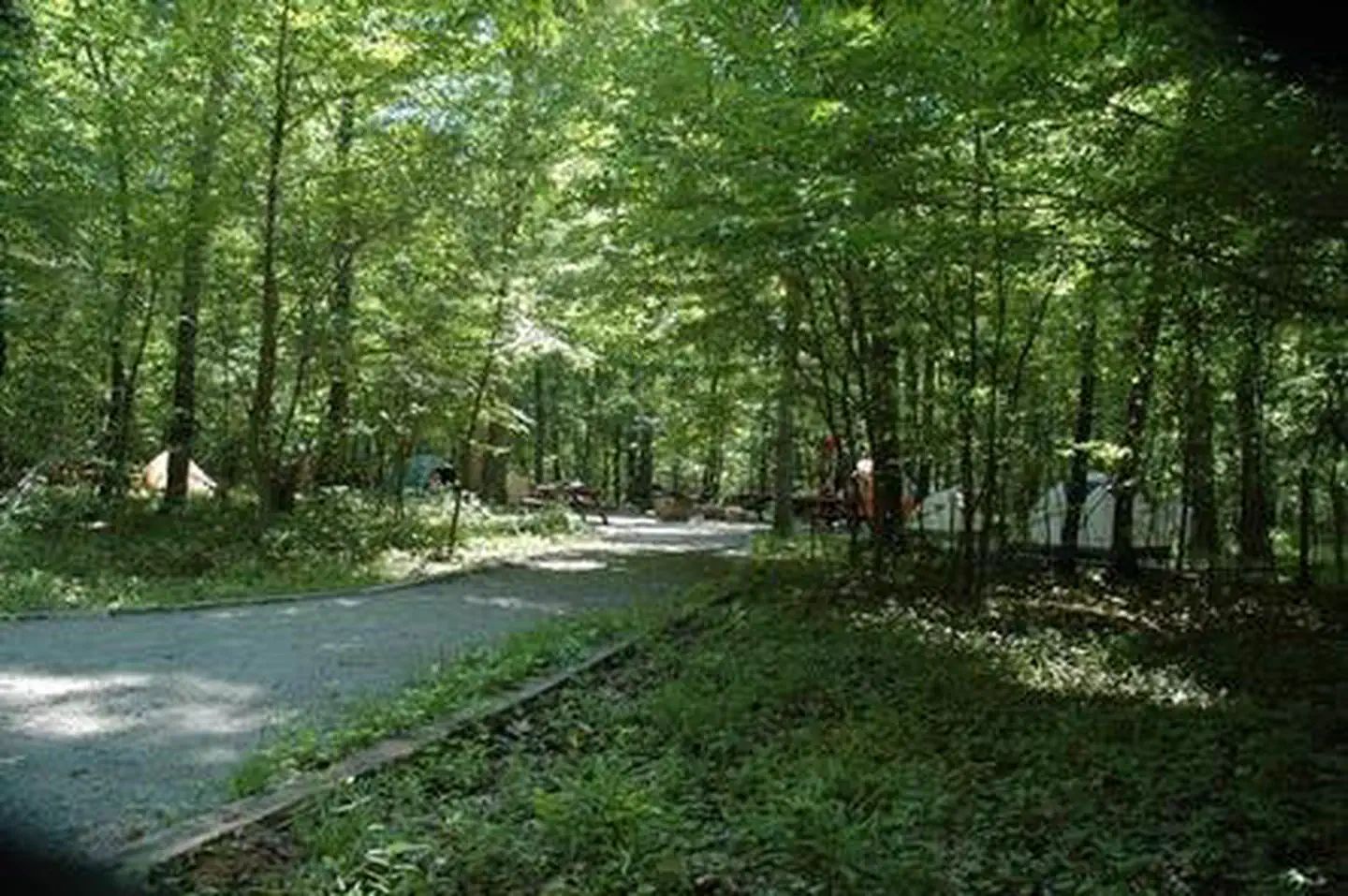
Overview Elizabeth Furnace Recreation Area offers forested trails, campsites and open grassy picnic areas along the tranquil Passage Creek.
Sites2all reservable
Elev.804ft
Comf.Mar-Nov9 months
Max rigtents
Electricnonesites
From Washington DC1h45real road time
The honest read
Synthesized from RIDB · Open-Meteo OSM · OSRM Updated 2026-05-27
At 804 ft, Elizabeth Furnace Group Camp has a 9-month comfortable window (Mar-Nov). Winter nights average around 27°F, so the shoulder seasons turn cold fast. All 2 sites are reservable in advance, so plan ahead. Popular weekends book out.
The campground at a glance
01 · CHARACTER
Reads strongest on shade and reservability. Softest on roomy sites.
Six axes, each scored relative to every other federal campground in the region: quiet (miles to a major road), cool (elevation), roomy (average site spacing), shade, RV-fit (longest rig), and how reservable it is. All six come from data, nothing hand-tuned.
When to go
02 · CLIMATE
avg highavg lowfrost-freedriest · Nov
Mar-Nov
Comfortable window: nights stay above 35°F, days below 90°F.
78%
Of summer weekend-days are dry.
Apr 16
Last spring frost; first fall frost Nov 8.
68°F
Average July low.
Getting there
03 · ACCESS
01
Washington DC
80 mi
1h45
02
Richmond
137 mi
2h58
03
Roanoke
170 mi
3h18
04
Norfolk
222 mi
4h40
By drive time
Routed road time (OSRM). Nearest major highway 2.8 mi away.
We synthesize public data layers: RIDB and Recreation.gov facility and site records, Open-Meteo climate normals, OpenStreetMap roads, trails, and water, OSRM drive times, and USGS elevation. We take no bookings, no ads, and no paid placements. Independence is the entire point.