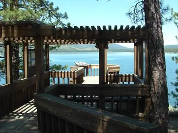
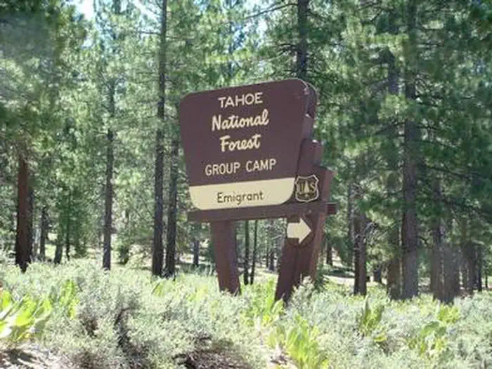
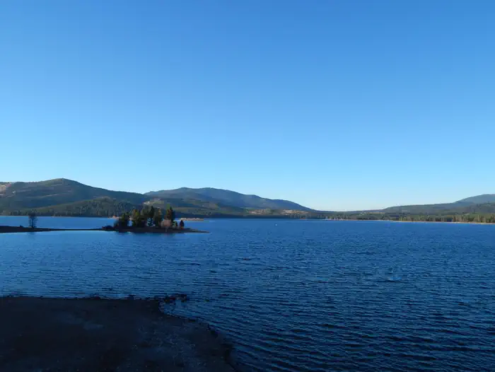
Overview Emigrant Group Campground is located alongside the beautiful Stampede Reservoir.
Sites64 reservable
Elev.6,033ft
Comf.Jun-Oct5 months
Max rig45 ft
Electricnonesites
From Sacramento2h47real road time
The honest read
Synthesized from RIDB · Open-Meteo OSM · OSRM Updated 2026-05-27
At 6,033 ft, Emigrant Group has a 5-month comfortable window (Jun-Oct). Winter nights average around 22°F, so the shoulder seasons turn cold fast. 6 sites total: 4 reservable and 2 first-come, first-served.
The campground at a glance
01 · CHARACTER
Reads strongest on shade and reservability. Softest on roomy sites.
Six axes, each scored relative to every other federal campground in the region: quiet (miles to a major road), cool (elevation), roomy (average site spacing), shade, RV-fit (longest rig), and how reservable it is. All six come from data, nothing hand-tuned.
When to go
02 · CLIMATE
avg highavg lowfrost-freedriest · Jul
Jun-Oct
Comfortable window: nights stay above 35°F, days below 90°F.
92%
Of summer weekend-days are dry.
Jun 10
Last spring frost; first fall frost Oct 11.
49°F
Average July low. Bring a fleece.
Getting there
03 · ACCESS
01
Sacramento
125 mi
2h47
02
San Francisco
222 mi
4h56
03
Fresno
247 mi
5h29
04
Los Angeles
505 mi
11h13
05
San Diego
643 mi
14h17
By drive time
Routed road time (OSRM). Nearest major highway 5.2 mi away.
We synthesize public data layers: RIDB and Recreation.gov facility and site records, Open-Meteo climate normals, OpenStreetMap roads, trails, and water, OSRM drive times, and USGS elevation. We take no bookings, no ads, and no paid placements. Independence is the entire point.