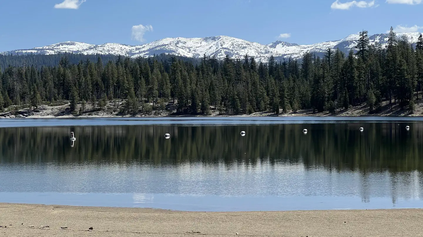
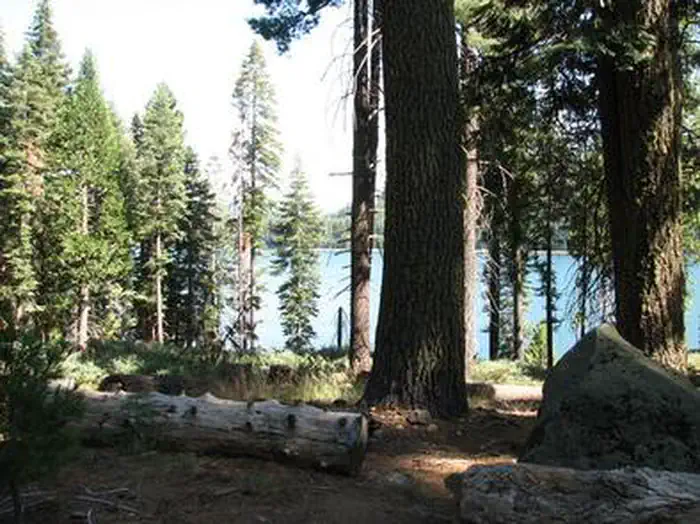
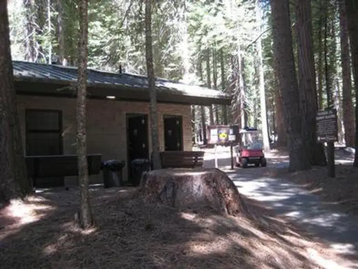
Overview Fashoda Campground, located on a peninsula of the eastern side of Union Valley Reservoir, is an incredibly scenic place to camp.
Sites30all reservable
Elev.4,984ft
Comf.May-Oct6 months
Max rigtents
Electricnonesites
From Sacramento1h48real road time
The honest read
Synthesized from RIDB · Open-Meteo OSM · OSRM Updated 2026-05-27
At 4,984 ft, Fashoda has a 6-month comfortable window (May-Oct). Winter nights average around 28°F, so the shoulder seasons turn cold fast. All 30 sites are reservable in advance, so plan ahead. Popular weekends book out. Within about 4 miles: 2 peaks, lake or river access.
The campground at a glance
01 · CHARACTER
Reads strongest on shade and reservability. Softest on roomy sites.
Six axes, each scored relative to every other federal campground in the region: quiet (miles to a major road), cool (elevation), roomy (average site spacing), shade, RV-fit (longest rig), and how reservable it is. All six come from data, nothing hand-tuned.
When to go
02 · CLIMATE
avg highavg lowfrost-freedriest · Jul
May-Oct
Comfortable window: nights stay above 35°F, days below 90°F.
94%
Of summer weekend-days are dry.
May 22
Last spring frost; first fall frost Oct 19.
56°F
Average July low. Bring a fleece.
Getting there
03 · ACCESS
01
Sacramento
81 mi
1h48
02
San Francisco
173 mi
3h51
03
Fresno
196 mi
4h21
04
Los Angeles
460 mi
10h13
05
San Diego
601 mi
13h21
By drive time
Routed road time (OSRM). Nearest major highway 6.4 mi away.
We synthesize public data layers: RIDB and Recreation.gov facility and site records, Open-Meteo climate normals, OpenStreetMap roads, trails, and water, OSRM drive times, and USGS elevation. We take no bookings, no ads, and no paid placements. Independence is the entire point.