USFSHumboldt-Toiyabe National Forest Headquarters · Nevada
Fletcher View
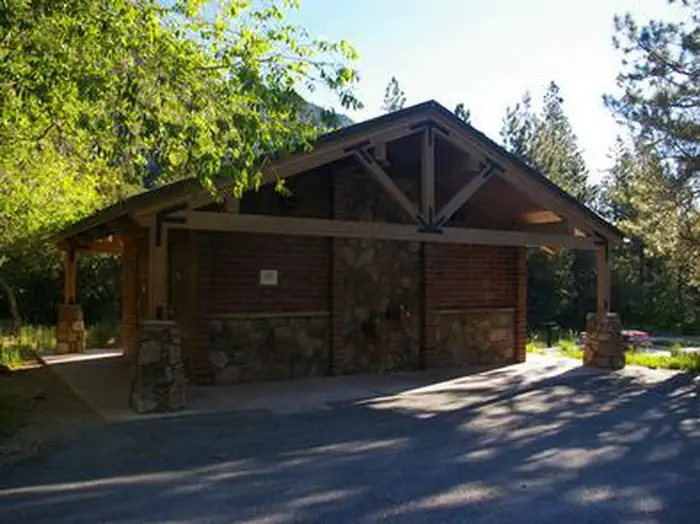
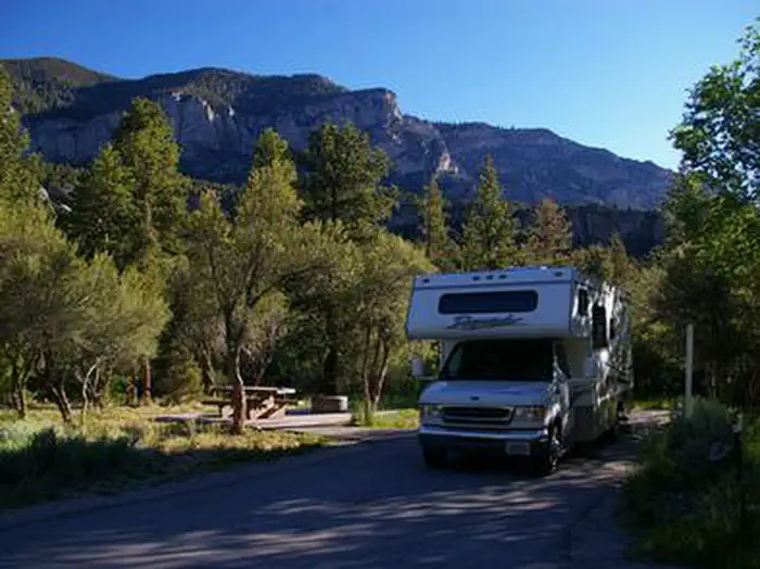
Overview Fletcher View Campground is set in the beautiful Spring Mountains National Recreation Area, just 24 miles from Las Vegas.
Sites126 reservable
Elev.7,087ft
Comf.Apr-Nov8 months
Max rig40 ft
Electric12sites
From Las Vegas0h53real road time
The honest read
Synthesized from RIDB · Open-Meteo OSM · OSRM Updated 2026-05-27
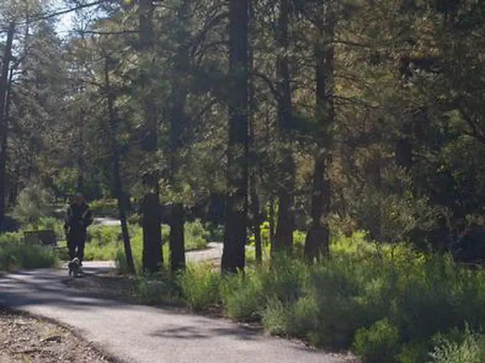
At 7,087 ft, Fletcher View has a 8-month comfortable window (Apr-Nov). Winter nights average around 25°F, so the shoulder seasons turn cold fast. 12 sites total: 6 reservable and 6 first-come, first-served. Within about 4 miles: 2 named hiking routes, 6 peaks.
The campground at a glance
01 · CHARACTER
Reads strongest on shade and quiet. Softest on roomy sites.
Six axes, each scored relative to every other federal campground in the region: quiet (miles to a major road), cool (elevation), roomy (average site spacing), shade, RV-fit (longest rig), and how reservable it is. All six come from data, nothing hand-tuned.
When to go
02 · CLIMATE
avg highavg lowfrost-freedriest · Oct
Apr-Nov
Comfortable window: nights stay above 35°F, days below 90°F.
90%
Of summer weekend-days are dry.
May 7
Last spring frost; first fall frost Oct 20.
63°F
Average July low. Bring a fleece.
Getting there
03 · ACCESS
01
Las Vegas
36 mi
0h53
02
Reno
423 mi
8h33
By drive time
Routed road time (OSRM). Nearest major highway 13.9 mi away.
We synthesize public data layers: RIDB and Recreation.gov facility and site records, Open-Meteo climate normals, OpenStreetMap roads, trails, and water, OSRM drive times, and USGS elevation. We take no bookings, no ads, and no paid placements. Independence is the entire point.