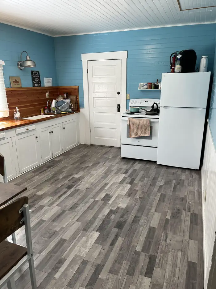
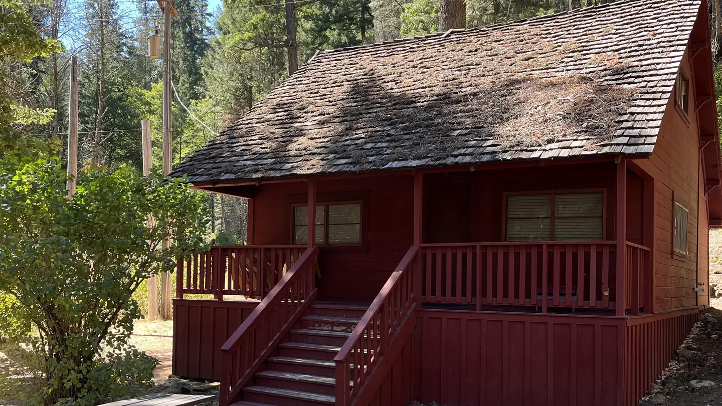
Overview This historic guard station offers a unique stay in the oldest Forest Service building on the Shasta-Trinity National Forest.
Sites1all reservable
Elev.2,585ft
Comf.Apr-Dec7 months
Max rigtents
Electricnonesites
From Sacramento4h32real road time
The honest read
Synthesized from RIDB · Open-Meteo OSM · OSRM Updated 2026-05-27
At 2,585 ft, Forest Glen Guard Station has a 7-month comfortable window (Apr-Dec). Winter nights average around 34°F, so the shoulder seasons turn cold fast. All 1 sites are reservable in advance, so plan ahead. Popular weekends book out. Within about 4 miles: 1 peak.
The campground at a glance
01 · CHARACTER
Reads strongest on shade and reservability. Softest on quiet.
Six axes, each scored relative to every other federal campground in the region: quiet (miles to a major road), cool (elevation), roomy (average site spacing), shade, RV-fit (longest rig), and how reservable it is. All six come from data, nothing hand-tuned.
When to go
02 · CLIMATE
avg highavg lowfrost-freedriest · Jul
Apr-Dec
Comfortable window: nights stay above 35°F, days below 90°F.
95%
Of summer weekend-days are dry.
Apr 29
Last spring frost; first fall frost Nov 3.
60°F
Average July low. Bring a fleece.
Getting there
03 · ACCESS
01
Sacramento
204 mi
4h32
02
San Francisco
241 mi
5h21
03
Fresno
409 mi
9h05
04
Los Angeles
673 mi
14h57
05
San Diego
818 mi
18h11
By drive time
Routed road time (OSRM). Nearest major highway 0.3 mi away.
Picking your site
04 · 1 SITES
0
Pull-thru
0
Walk-in
0
50-amp
0
Accessible
0
Prime
1
Sites
What's within four miles
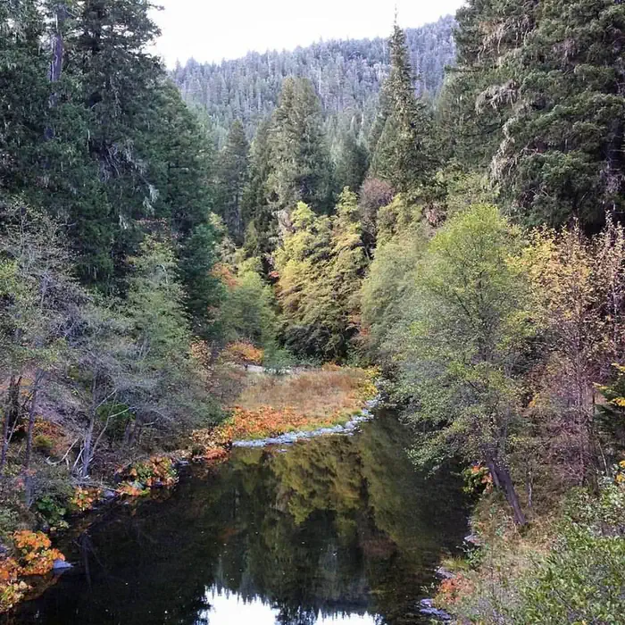
05 · TRAILS · PEAKS · WATER
Trails & Peaks
Trail segments
23
Peaks
1
Water & Access
To nearest major road
0.3 mi
Method
We synthesize public data layers: RIDB and Recreation.gov facility and site records, Open-Meteo climate normals, OpenStreetMap roads, trails, and water, OSRM drive times, and USGS elevation. We take no bookings, no ads, and no paid placements. Independence is the entire point.