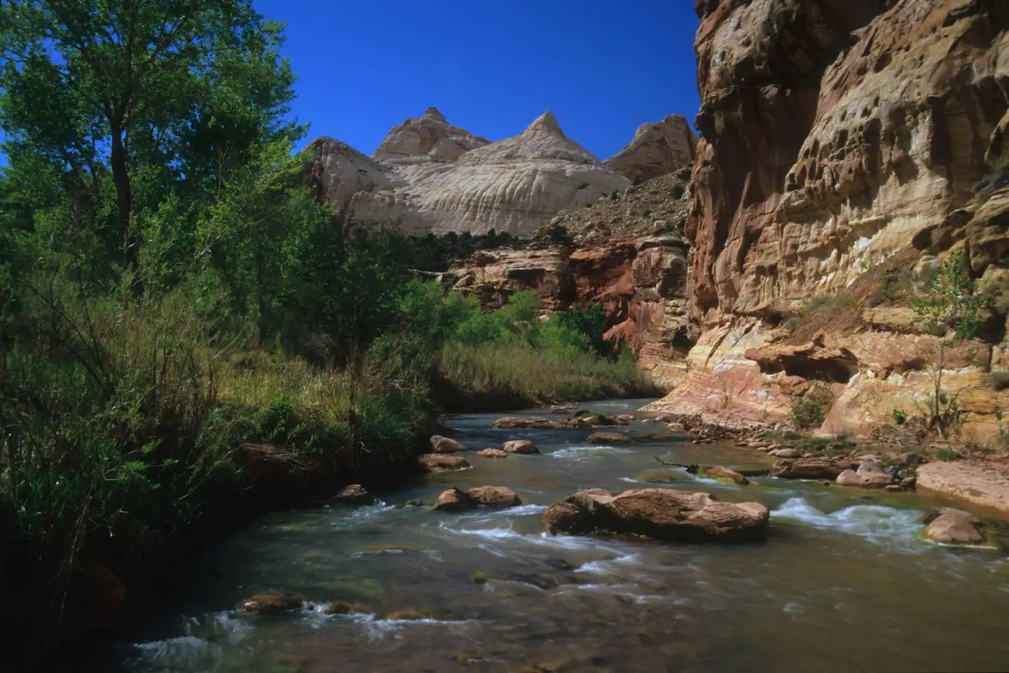
Overview Located in south-central Utah in the heart of red rock country, Capitol Reef National Park is a hidden treasure filled with cliffs, canyons, domes and bridges in the Waterpocket Fold, a geolo
Sites7265 reservable
Elev.5,453ft
Comf.Apr-Oct6 months
Max rig52 ft
Electricnonesites
From Moab2h59real road time
The honest read
Synthesized from RIDB · Open-Meteo OSM · OSRM Updated 2026-05-27
At 5,453 ft, Fruita Campground has a 6-month comfortable window (Apr-Oct). Winter nights average around 21°F, so the shoulder seasons turn cold fast. 72 sites total: 65 reservable and 7 first-come, first-served. Within about 4 miles: 1 named hiking route, 8 peaks, lake or river access.
The campground at a glance
01 · CHARACTER
Reads strongest on reservability and cool nights. Softest on shade.
Six axes, each scored relative to every other federal campground in the region: quiet (miles to a major road), cool (elevation), roomy (average site spacing), shade, RV-fit (longest rig), and how reservable it is. All six come from data, nothing hand-tuned.
When to go
02 · CLIMATE
avg highavg lowfrost-freedriest · Jul
Apr-Oct
Comfortable window: nights stay above 35°F, days below 90°F.
99%
Of summer weekend-days are dry.
Apr 17
Last spring frost; first fall frost Oct 20.
68°F
Average July low. Bring a fleece.
Getting there
03 · ACCESS
01
Moab
147 mi
2h59
02
St. George
217 mi
4h23
03
Salt Lake City
226 mi
4h26
By drive time
Routed road time (OSRM). Nearest major highway 0.3 mi away.
We synthesize public data layers: RIDB and Recreation.gov facility and site records, Open-Meteo climate normals, OpenStreetMap roads, trails, and water, OSRM drive times, and USGS elevation. We take no bookings, no ads, and no paid placements. Independence is the entire point.