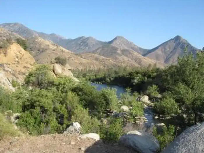
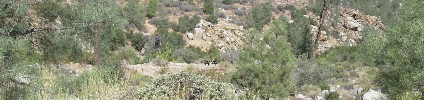
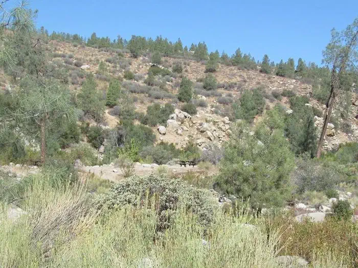
Overview Goldledge Campground is situated along the Kern River, 10 miles north of the town of Kernville.
Sites3736 reservable
Elev.3,212ft
Comf.Jan-Dec10 months
Max rig30 ft
Electricnonesites
From Fresno2h45real road time
The honest read
Synthesized from RIDB · Open-Meteo OSM · OSRM Updated 2026-05-27
At 3,212 ft, Goldledge Campground has a 10-month comfortable window (Jan-Dec). Winter nights average around 35°F, so the shoulder seasons turn cold fast. 37 sites total: 36 reservable and 1 first-come, first-served. Within about 4 miles: 1 peak.
The campground at a glance
01 · CHARACTER
Reads strongest on reservability and quiet. Softest on shade.
Six axes, each scored relative to every other federal campground in the region: quiet (miles to a major road), cool (elevation), roomy (average site spacing), shade, RV-fit (longest rig), and how reservable it is. All six come from data, nothing hand-tuned.
When to go
02 · CLIMATE
avg highavg lowfrost-freedriest · Jul
Jan-Dec
Comfortable window: nights stay above 35°F, days below 90°F.
95%
Of summer weekend-days are dry.
Apr 8
Last spring frost; first fall frost Nov 6.
67°F
Average July low. Bring a fleece.
Getting there
03 · ACCESS
01
Fresno
124 mi
2h45
02
Los Angeles
164 mi
3h39
03
San Diego
300 mi
6h40
04
Sacramento
326 mi
7h15
05
San Francisco
332 mi
7h23
By drive time
Routed road time (OSRM). Nearest major highway 10.2 mi away.
We synthesize public data layers: RIDB and Recreation.gov facility and site records, Open-Meteo climate normals, OpenStreetMap roads, trails, and water, OSRM drive times, and USGS elevation. We take no bookings, no ads, and no paid placements. Independence is the entire point.