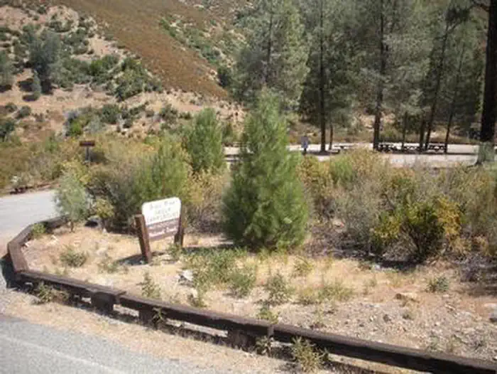
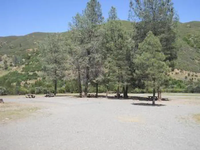
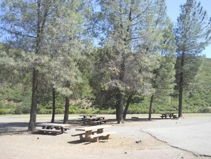
Overview Perched 1,700 feet above sea level in the expanse of the Mendocino National Forest, the Gray Pine Group Camp is a beautiful recreation oasis for large groups and parties.
Sites1all reservable
Elev.1,627ft
Comf.Jan-Dec10 months
Max rig70 ft
Electricnonesites
From Sacramento2h23real road time
The honest read
Synthesized from RIDB · Open-Meteo OSM · OSRM Updated 2026-05-27
At 1,627 ft, Gray Pine Group Campground has a 10-month comfortable window (Jan-Dec). Winter nights average around 39°F, so the shoulder seasons turn cold fast. All 1 sites are reservable in advance, so plan ahead. Popular weekends book out. Within about 4 miles: 1 peak.
The campground at a glance
01 · CHARACTER
Reads strongest on shade and reservability. Softest on big-rig fit.
Six axes, each scored relative to every other federal campground in the region: quiet (miles to a major road), cool (elevation), roomy (average site spacing), shade, RV-fit (longest rig), and how reservable it is. All six come from data, nothing hand-tuned.
When to go
02 · CLIMATE
avg highavg lowfrost-freedriest · Jul
Jan-Dec
Comfortable window: nights stay above 35°F, days below 90°F.
98%
Of summer weekend-days are dry.
Mar 15
Last spring frost; first fall frost Dec 4.
69°F
Average July low.
Getting there
03 · ACCESS
01
Sacramento
107 mi
2h23
02
San Francisco
143 mi
3h11
03
Fresno
311 mi
6h55
04
Los Angeles
572 mi
12h43
05
San Diego
717 mi
15h56
By drive time
Picking your site
04 · 1 SITES
0
Pull-thru
0
Walk-in
0
50-amp
0
Accessible
0
Prime
1
Sites
What's within four miles
05 · TRAILS · PEAKS · WATER
Trails & Peaks
Trail segments
8
Peaks
1
Water & Access
Method
We synthesize public data layers: RIDB and Recreation.gov facility and site records, Open-Meteo climate normals, OpenStreetMap roads, trails, and water, OSRM drive times, and USGS elevation. We take no bookings, no ads, and no paid placements. Independence is the entire point.