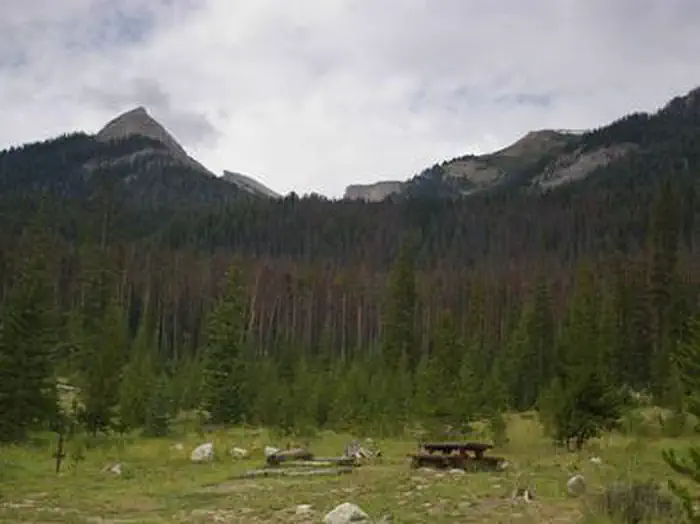
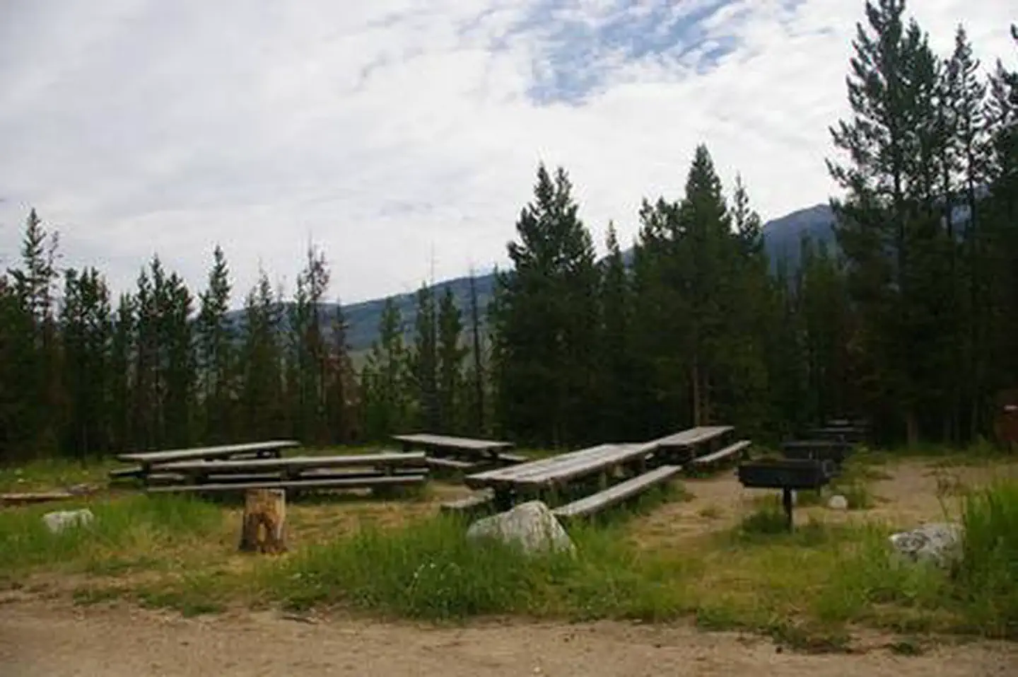
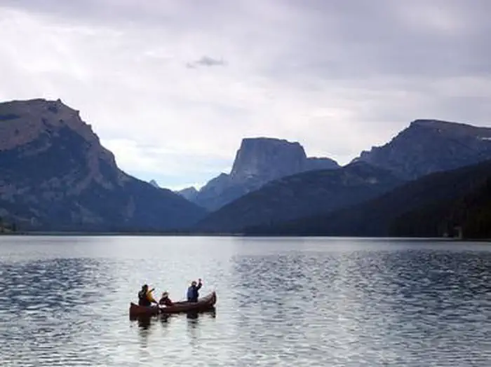
Overview Green River Lakes Campground is located near the shores of beautiful Lower Green River Lake, at an elevation of 8,000 feet.
Sites423 reservable
Elev.8,074ft
Comf.Jun-Sep4 months
Max rig30 ft
Electricnonesites
From Jackson3h10real road time
The honest read
Synthesized from RIDB · Open-Meteo OSM · OSRM Updated 2026-05-27
At 8,074 ft, Green River Lakes - Bridger-Teton NF (WY) has a 4-month comfortable window (Jun-Sep). Winter nights average around 10°F, so the shoulder seasons turn cold fast. 42 sites total: 3 reservable and 39 first-come, first-served. Within about 4 miles: 1 named hiking route, 3 peaks, lake or river access.
The campground at a glance
01 · CHARACTER
Reads strongest on shade and cool nights. Softest on roomy sites.
Six axes, each scored relative to every other federal campground in the region: quiet (miles to a major road), cool (elevation), roomy (average site spacing), shade, RV-fit (longest rig), and how reservable it is. All six come from data, nothing hand-tuned.
When to go
02 · CLIMATE
avg highavg lowfrost-freedriest · Jul
Jun-Sep
Comfortable window: nights stay above 35°F, days below 90°F.
We synthesize public data layers: RIDB and Recreation.gov facility and site records, Open-Meteo climate normals, OpenStreetMap roads, trails, and water, OSRM drive times, and USGS elevation. We take no bookings, no ads, and no paid placements. Independence is the entire point.