Closed for 2026Grindstone is closed for the full 2026 season for water-system and infrastructure work, per the Forest Service and Recreation.gov. It is expected to reopen in 2027. Everything below describes a normal season.
USFSGeorge Washington & Jefferson National Forest · Virginia
Grindstone
Overview Grindstone Campground is tucked in the Fairwood Valley among pastures and wooded hillsides.
Sites136first-come
Elev.3,766ft
Comf.Apr-Oct7 months
Max rig110 ft
Electric445×50-amp
From Roanoke2h36real road time
The honest read
Synthesized from RIDB · Open-Meteo OSM · OSRM Updated 2026-05-27
At 3,766 ft, Grindstone has a 7-month comfortable window (Apr-Oct). Winter nights average around 24°F, so the shoulder seasons turn cold fast. All 136 sites are first-come, first-served. No reservations, so arrive early. Of the sites, 5 with 50-amp, and the longest takes a 110-ft rig. Within about 4 miles: 1 named hiking route, 18 peaks, lake or river access.
What campers say
SYNTHESIZED · MODERATE SIGNAL
Weather
01 / 06
High and cool. Pack for cold nights.
At about 3,700 feet it runs noticeably cooler than the valleys, with chilly nights even in summer and freezing nights by mid-October. It sits on Big Laurel Creek, so the setting stays damp, green, and mossy.
Sites
02 / 06
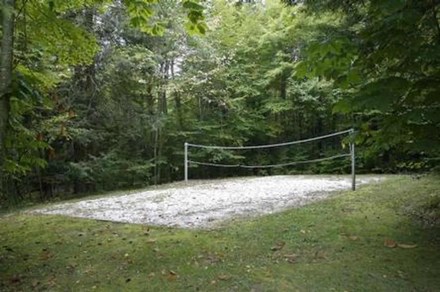
Spaced, shaded, and private, with a couple of sunny exceptions.
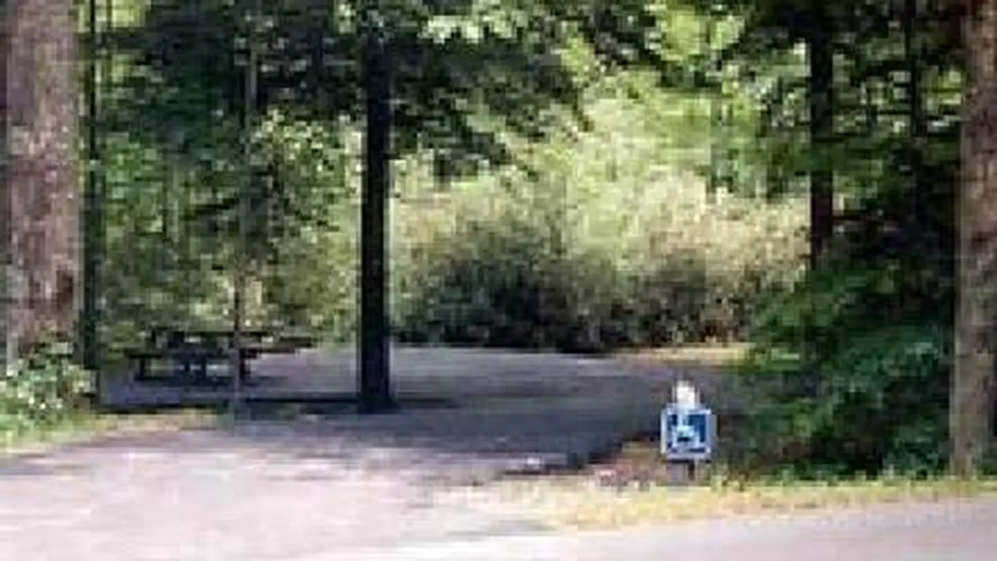
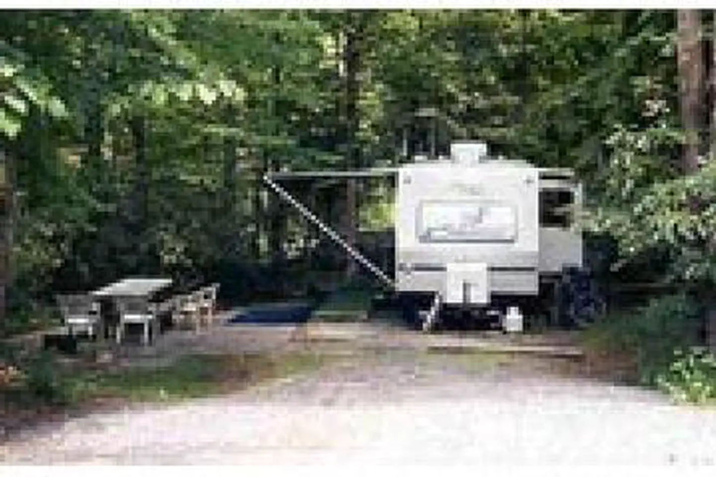
The repeated praise is real separation between sites under thick hardwood, hemlock, and rhododendron. Almost everything is heavily shaded, so sites 45 and 47 are the picks if you want sun. A few drives are sloped, so larger rigs should take care.
Facilities
03 / 06
A clean bathhouse with hot showers, and hookups on most sites.
The bathhouse and hot showers get singled out as unusually clean for a forest campground. About 44 sites have electric and water, there is a dump station but no sewer at the site, and a primitive tent loop has no utilities. Reservable up to six months out.
Vibe
04 / 06
Completely off the grid. No cell, far from supplies.
The most consistent note is zero cell signal. People drive 8 to 10 miles to get a bar, and the nearest groceries are a 15-mile-plus trip. Solitude seekers love it, and anyone needing to stay connected does not.
Trails & access
05 / 06
The Mount Rogers Trail leaves right from camp.
A short tie-in connects to the Mount Rogers Trail, which climbs about 7 miles to the Appalachian Trail and on toward the highest point in Virginia. Backpackers base here to start the Mount Rogers and Grayson Highlands loop. The summit itself is wooded, so the payoff is the open balds up high.
Wildlife & sky
06 / 06
The famous ponies are up on the balds, not in camp.
A common mix-up: Grindstone is in the national forest, not Grayson Highlands, and the wild ponies live on the highland balds about a 30-minute drive away. Black bears are around, so use the food storage.
Synthesized from public trip reports and forum discussion, summarized in our words and never quoted. This is durable sentiment, not a live feed.
The campground at a glance
01 · CHARACTER
Reads strongest on shade and cool nights. Softest on reservability.
Six axes, each scored relative to every other federal campground in the region: quiet (miles to a major road), cool (elevation), roomy (average site spacing), shade, RV-fit (longest rig), and how reservable it is. All six come from data, nothing hand-tuned.
When to go
02 · CLIMATE
avg highavg lowfrost-freedriest · Nov
Apr-Oct
Comfortable window: nights stay above 35°F, days below 90°F.
63%
Of summer weekend-days are dry.
Apr 26
Last spring frost; first fall frost Oct 27.
63°F
Average July low. Bring a fleece.
Getting there
03 · ACCESS
01
Roanoke
121 mi
2h36
02
Richmond
296 mi
5h48
03
Washington DC
348 mi
6h49
04
Norfolk
387 mi
7h36
By drive time
Routed road time (OSRM). Nearest major highway 4.5 mi away.
We synthesize public data layers: RIDB and Recreation.gov facility and site records, Open-Meteo climate normals, OpenStreetMap roads, trails, and water, OSRM drive times, and USGS elevation. We take no bookings, no ads, and no paid placements. Independence is the entire point.