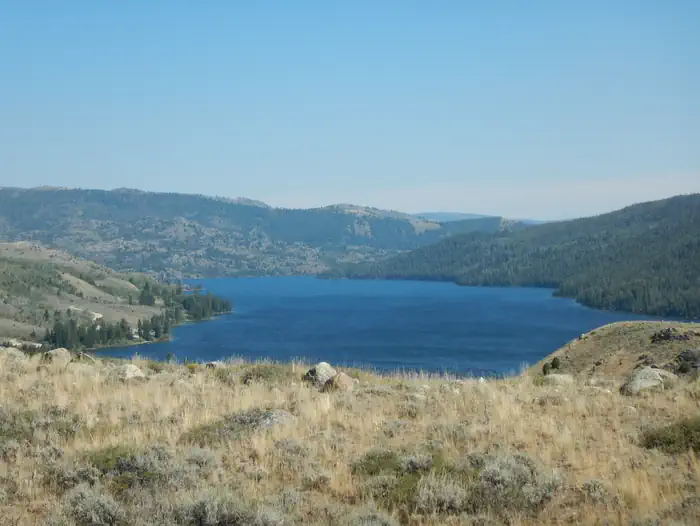
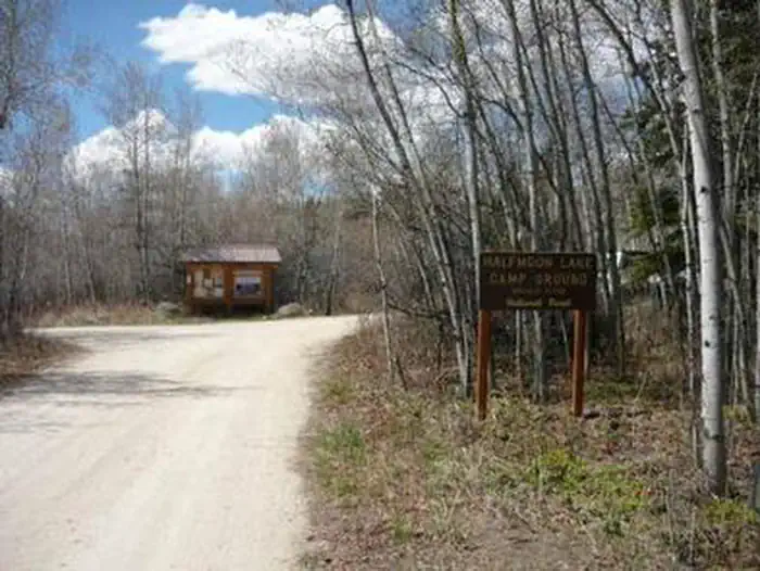
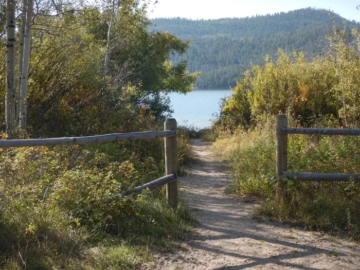
Overview Half Moon Lake campground is situated just off the northeast shore of Half Moon Lake at an elevation of 7,600 feet in the Bridger-Teton National Forest, Wyoming.
Sites1811 reservable
Elev.7,621ft
Comf.Jun-Sep4 months
Max rigtents4 pull-thru
Electricnonesites
From Jackson2h01real road time
The honest read
Synthesized from RIDB · Open-Meteo OSM · OSRM Updated 2026-05-27
At 7,621 ft, Half Moon Lake Campground has a 4-month comfortable window (Jun-Sep). Winter nights average around 10°F, so the shoulder seasons turn cold fast. 18 sites total: 11 reservable and 7 first-come, first-served. Of the sites, 4 pull-through. Within about 4 miles: 2 peaks, lake or river access.
The campground at a glance
01 · CHARACTER
Reads strongest on cool nights and reservability. Softest on shade.
Six axes, each scored relative to every other federal campground in the region: quiet (miles to a major road), cool (elevation), roomy (average site spacing), shade, RV-fit (longest rig), and how reservable it is. All six come from data, nothing hand-tuned.
When to go
02 · CLIMATE
avg highavg lowfrost-freedriest · Jul
Jun-Sep
Comfortable window: nights stay above 35°F, days below 90°F.
90%
Of summer weekend-days are dry.
Jun 10
Last spring frost; first fall frost Sep 25.
51°F
Average July low. Bring a fleece.
Getting there
03 · ACCESS
01
Jackson
86 mi
2h01
02
Casper
290 mi
5h50
03
Cheyenne
363 mi
6h32
By drive time
Routed road time (OSRM). Nearest major highway 6.9 mi away.
We synthesize public data layers: RIDB and Recreation.gov facility and site records, Open-Meteo climate normals, OpenStreetMap roads, trails, and water, OSRM drive times, and USGS elevation. We take no bookings, no ads, and no paid placements. Independence is the entire point.