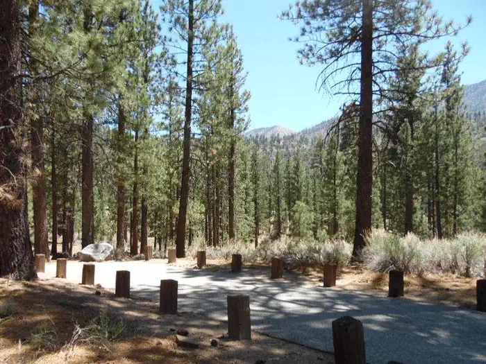
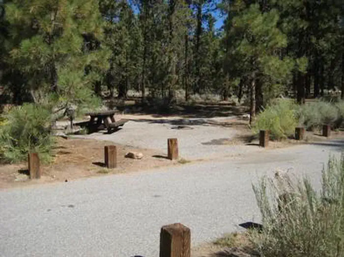
Overview The Heart Bar Campground provides access to some of southern California's greatest backcountry hiking, biking and horseback riding trails, as well as a nice play to experience nature.
Sites6661 reservable
Elev.6,896ft
Comf.Apr-Nov8 months
Max rig45 ft1 pull-thru
Electricnonesites
From Los Angeles2h25real road time
The honest read
Synthesized from RIDB · Open-Meteo OSM · OSRM Updated 2026-05-27
At 6,896 ft, Heart Bar Campground has a 8-month comfortable window (Apr-Nov). Winter nights average around 29°F, so the shoulder seasons turn cold fast. 66 sites total: 61 reservable and 5 first-come, first-served. Of the sites, 1 pull-through, and the longest takes a 45-ft rig. Within about 4 miles: 2 named hiking routes, 4 peaks, lake or river access.
The campground at a glance
01 · CHARACTER
Reads strongest on shade and reservability. Softest on roomy sites.
Six axes, each scored relative to every other federal campground in the region: quiet (miles to a major road), cool (elevation), roomy (average site spacing), shade, RV-fit (longest rig), and how reservable it is. All six come from data, nothing hand-tuned.
When to go
02 · CLIMATE
avg highavg lowfrost-freedriest · Jun
Apr-Nov
Comfortable window: nights stay above 35°F, days below 90°F.
93%
Of summer weekend-days are dry.
May 10
Last spring frost; first fall frost Oct 24.
61°F
Average July low. Bring a fleece.
Getting there
03 · ACCESS
01
Los Angeles
109 mi
2h25
02
San Diego
133 mi
2h57
03
Fresno
319 mi
7h05
04
San Francisco
523 mi
11h37
05
Sacramento
523 mi
11h37
By drive time
Routed road time (OSRM). Nearest major highway 7.8 mi away.
We synthesize public data layers: RIDB and Recreation.gov facility and site records, Open-Meteo climate normals, OpenStreetMap roads, trails, and water, OSRM drive times, and USGS elevation. We take no bookings, no ads, and no paid placements. Independence is the entire point.