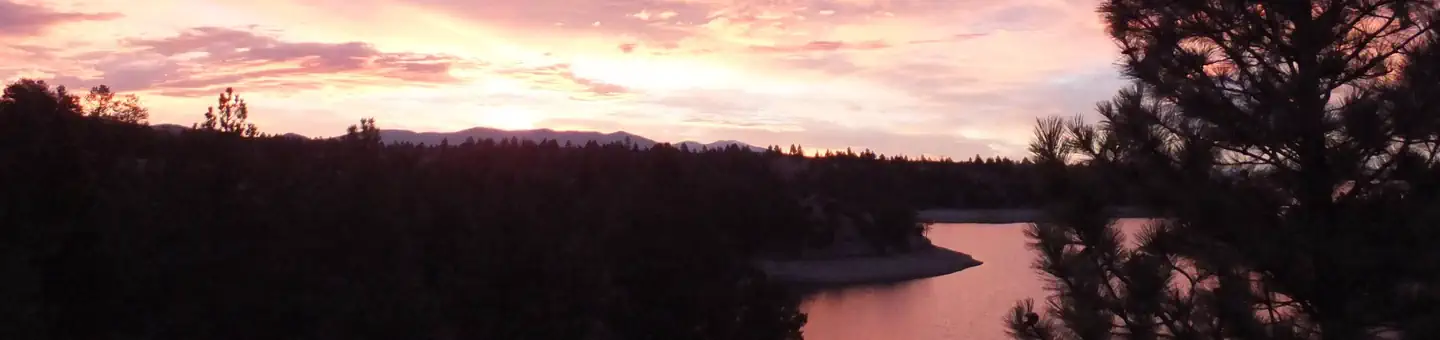
Overview Hellgate Campground is located 30 miles east of Helena, Montana, along Montana Highway 284.
Sites72all reservable
Elev.3,829ft
Comf.May-Oct6 months
Max rig120 ft9 pull-thru
Electric2sites
From Helena0h44real road time
The honest read
Synthesized from RIDB · Open-Meteo OSM · OSRM Updated 2026-05-27
At 3,829 ft, Hellgate Campground has a 6-month comfortable window (May-Oct). Winter nights average around 21°F, so the shoulder seasons turn cold fast. All 72 sites are reservable in advance, so plan ahead. Popular weekends book out. Of the sites, 9 pull-through, and the longest takes a 120-ft rig. Within about 4 miles: 1 peak.
What campers say
SYNTHESIZED · MODERATE SIGNAL
Sites
01 / 05
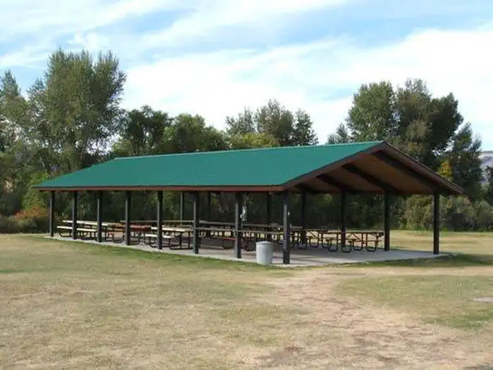
Most sites sit right on the reservoir but packed close with little privacy.
Loops A, B, and C put you almost on the water with level gravel pads and big-rig-friendly spacing for length, but neighbors are close and screening between sites is thin. Loop D sits back from the lake and runs quieter when the boat ramp is busy.
Weather
02 / 05
Open valley between the Big Belts and Elkhorns means real wind.
Campers report afternoon and evening winds pushing across the reservoir, with point sites like 56 especially exposed and awnings occasionally torn during summer storms. Shade is sparse outside a few creek-side spots, so tents need solid stakes and RVs should retract awnings when storms build.
Booking
03 / 05
Half the sites are reservable six months out; the rest are first-come.
Memorial Day and the Fourth fill the reservable inventory almost immediately, and the walk-up half turns over fast on Friday afternoons. Midweek in June or September is the realistic window for picking your site.
Water
04 / 05
Two free 24-hour ramps and a deep reservoir for walleye, perch, and trout.
Boaters launch easily from the Hellgate ramps into Canyon Ferry's 33,000-plus acres, with walleye and yellow perch the main draws and rainbow trout and ling also in the mix. Kayakers use the sheltered cove next to the campground when the main lake kicks up.
Vibe
05 / 05
Loud motorboat scene on weekends, calmer on weekdays.
Reviewers consistently flag wake boats with sound systems, generators, and a general RV-park feel during holiday weekends, plus mosquitoes in July. Shoulder-season visits and weekday stays draw a quieter crowd, with deer through camp and eagles overhead.
Synthesized from public trip reports and forum discussion, summarized in our words and never quoted. This is durable sentiment, not a live feed.
The campground at a glance
01 · CHARACTER
Reads strongest on reservability and shade. Softest on roomy sites.
Six axes, each scored relative to every other federal campground in the region: quiet (miles to a major road), cool (elevation), roomy (average site spacing), shade, RV-fit (longest rig), and how reservable it is. All six come from data, nothing hand-tuned.
When to go
02 · CLIMATE
avg highavg lowfrost-freedriest · Jul
May-Oct
Comfortable window: nights stay above 35°F, days below 90°F.
80%
Of summer weekend-days are dry.
May 3
Last spring frost; first fall frost Oct 15.
60°F
Average July low. Bring a fleece.
Getting there
03 · ACCESS
01
Helena
26 mi
0h44
02
Bozeman
93 mi
1h44
03
Missoula
140 mi
2h43
04
Billings
234 mi
4h05
By drive time
Routed road time (OSRM). Nearest major highway 7 mi away.
We synthesize public data layers: RIDB and Recreation.gov facility and site records, Open-Meteo climate normals, OpenStreetMap roads, trails, and water, OSRM drive times, and USGS elevation. We take no bookings, no ads, and no paid placements. Independence is the entire point.