Overview The Sequoia National Forest, located at the southern end of the Sierra Nevada in central California, takes its name from the giant sequoia, the world's largest tree, which grows in more than
Sites9first-come
Elev.6,470ft
Comf.May-Oct6 months
Max rig20 ft
Electricnonesites
From Fresno2h27real road time
The honest read
Synthesized from RIDB · Open-Meteo OSM · OSRM Updated 2026-05-27
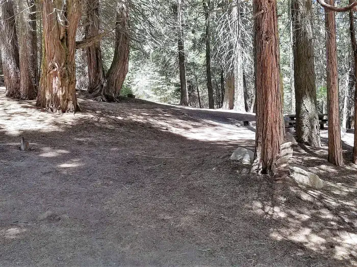
At 6,470 ft, Holey Meadow has a 6-month comfortable window (May-Oct). Winter nights average around 21°F, so the shoulder seasons turn cold fast. All 9 sites are first-come, first-served. No reservations, so arrive early. Within about 4 miles: 5 peaks.
The campground at a glance
01 · CHARACTER
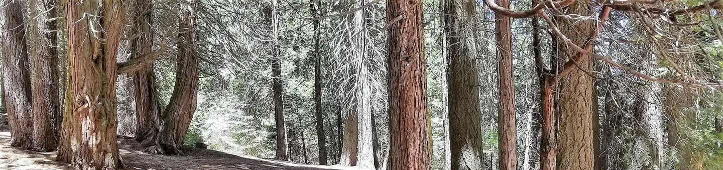
Reads strongest on shade and quiet. Softest on reservability.
Six axes, each scored relative to every other federal campground in the region: quiet (miles to a major road), cool (elevation), roomy (average site spacing), shade, RV-fit (longest rig), and how reservable it is. All six come from data, nothing hand-tuned.
When to go
02 · CLIMATE
avg highavg lowfrost-freedriest · Jul
May-Oct
Comfortable window: nights stay above 35°F, days below 90°F.
96%
Of summer weekend-days are dry.
May 22
Last spring frost; first fall frost Oct 12.
54°F
Average July low. Bring a fleece.
Getting there
03 · ACCESS
01
Fresno
110 mi
2h27
02
Los Angeles
173 mi
3h51
03
San Diego
310 mi
6h53
04
Sacramento
313 mi
6h57
05
San Francisco
318 mi
7h04
By drive time
Routed road time (OSRM). Nearest major highway 14.3 mi away.
We synthesize public data layers: RIDB and Recreation.gov facility and site records, Open-Meteo climate normals, OpenStreetMap roads, trails, and water, OSRM drive times, and USGS elevation. We take no bookings, no ads, and no paid placements. Independence is the entire point.