Overview Holter Lake Campground is situated on the picturesque Holter Lake in west central Montana.
Sites5652 reservable
Elev.3,622ft
Comf.May-Oct6 months
Max rig68 ft
Electricnonesites
From Helena0h57real road time
The honest read
Synthesized from RIDB · Open-Meteo OSM · OSRM Updated 2026-05-27
At 3,622 ft, Holter Lake Campground has a 6-month comfortable window (May-Oct). Winter nights average around 23°F, so the shoulder seasons turn cold fast. 56 sites total: 52 reservable and 4 first-come, first-served. Within about 4 miles: 1 peak, lake or river access.
What campers say
SYNTHESIZED · MODERATE SIGNAL
Views
01 / 05
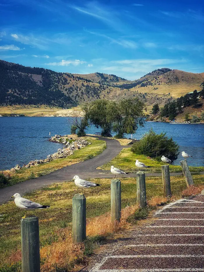
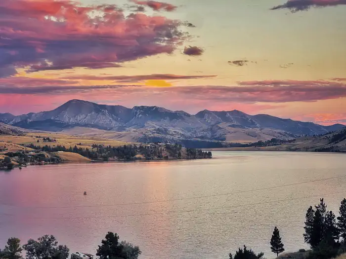
Every site looks out on the reservoir and the Sleeping Giant ridgeline.
Campers across sources agree the setting is the main draw, with open sightlines to the lake and surrounding mountains from nearly every pad. Sunrise and sunset views over the water get repeated mentions.
Weather
02 / 05
Afternoon wind is the recurring complaint and it kills lake plans fast.
Multiple reviewers describe gusts strong enough to shut down kayaking, paddleboarding, and shade canopies, with fall trips especially exposed. Bring heavy stakes and plan water activities for morning.
Sites
03 / 05
Level gravel pads, almost no shade, and narrow interior roads.
Pads are wide and flat enough for big rigs and tents, but trees between sites are sparse and summer days over 100F feel fully exposed. Wooden rails along the loop make backing in tight for longer trailers.
Wildlife & sky
04 / 05
Bighorn sheep on the hills, prairie rattlesnakes in the brush.
Sheep and deer near the entrance are a regular sighting, and bald eagles get noted by anglers. The flip side is prairie rattlesnakes and ticks in the sagebrush around sites, so watch where you step and check the dog.
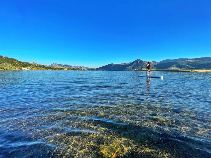
Water
05 / 05
Concrete ramp, easy launch, and a swim beach that fills up on summer weekends.
Reviewers consistently praise the boat ramp and dock for quick launches, and the trout, walleye, and perch fishery gets strong marks. The designated swim beach works well midweek but gets crowded and noisy with boat traffic on weekends.
Synthesized from public trip reports and forum discussion, summarized in our words and never quoted. This is durable sentiment, not a live feed.
The campground at a glance
01 · CHARACTER
Reads strongest on reservability and shade. Softest on roomy sites.
Six axes, each scored relative to every other federal campground in the region: quiet (miles to a major road), cool (elevation), roomy (average site spacing), shade, RV-fit (longest rig), and how reservable it is. All six come from data, nothing hand-tuned.
When to go
02 · CLIMATE
avg highavg lowfrost-freedriest · Jul
May-Oct
Comfortable window: nights stay above 35°F, days below 90°F.
84%
Of summer weekend-days are dry.
May 5
Last spring frost; first fall frost Oct 15.
59°F
Average July low. Bring a fleece.
Getting there
03 · ACCESS
01
Helena
42 mi
0h57
02
Bozeman
137 mi
2h41
03
Missoula
132 mi
2h54
04
Billings
278 mi
5h02
By drive time
Routed road time (OSRM). Nearest major highway 3 mi away.
We synthesize public data layers: RIDB and Recreation.gov facility and site records, Open-Meteo climate normals, OpenStreetMap roads, trails, and water, OSRM drive times, and USGS elevation. We take no bookings, no ads, and no paid placements. Independence is the entire point.