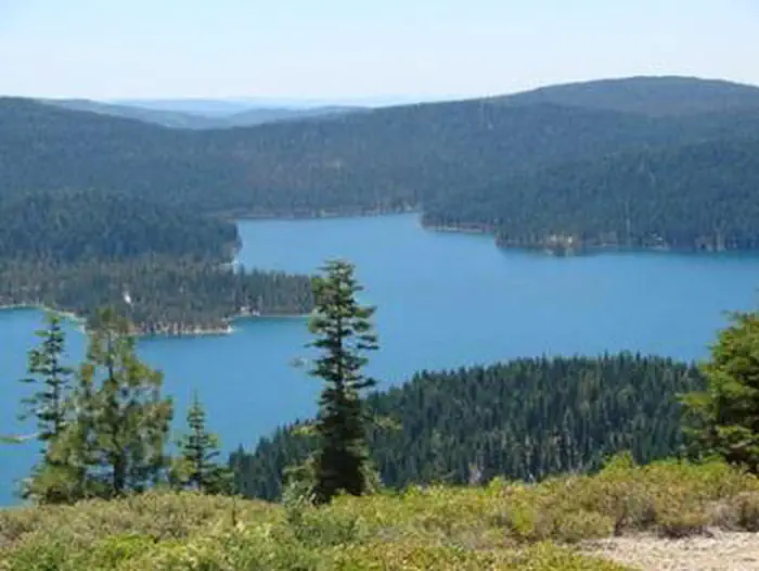
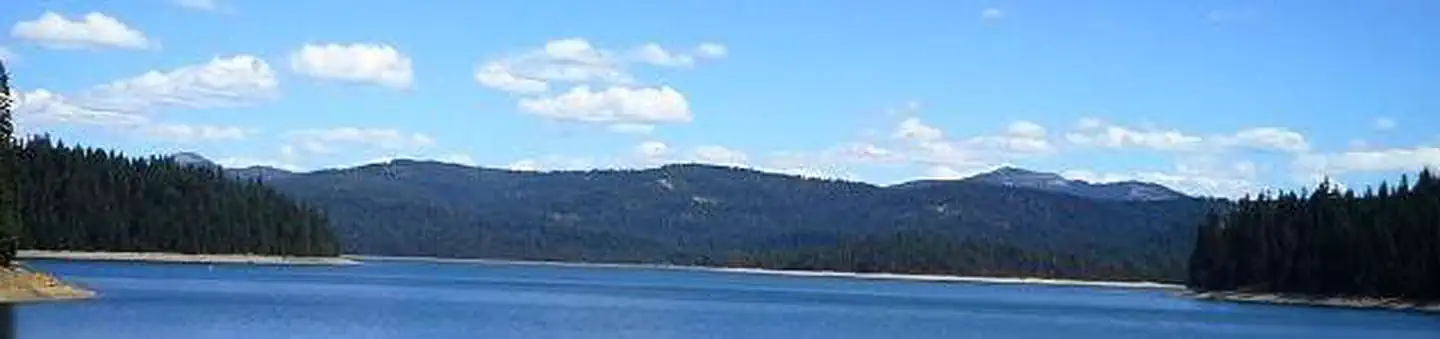
Overview Horse Camp is located on the eastern shore of the Little Grass Valley Reservoir, giving visitors ample opportunity to fish, swim, boat and enjoy nature.
Sites108 reservable
Elev.5,548ft
Comf.May-Oct6 months
Max rigtents
Electricnonesites
From Sacramento2h27real road time
The honest read
Synthesized from RIDB · Open-Meteo OSM · OSRM Updated 2026-05-27
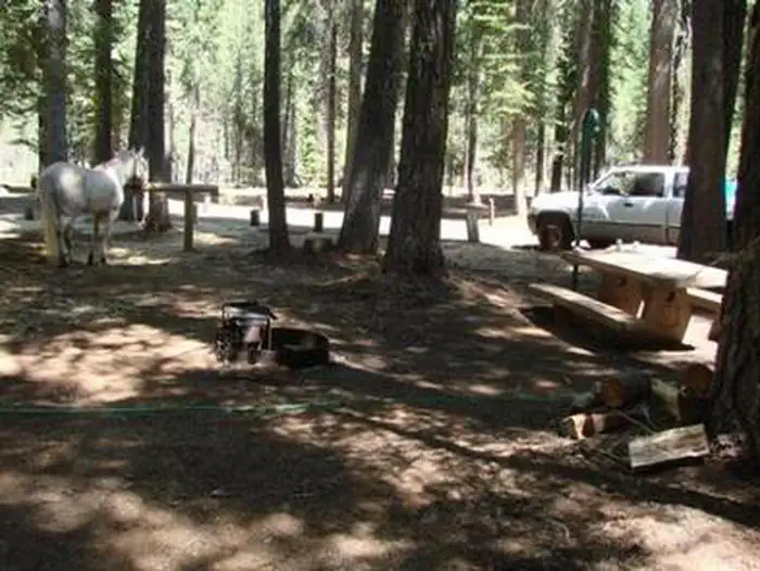
At 5,548 ft, Horse Campground has a 6-month comfortable window (May-Oct). Winter nights average around 26°F, so the shoulder seasons turn cold fast. 10 sites total: 8 reservable and 2 first-come, first-served. Within about 4 miles: 1 named hiking route, 8 peaks, lake or river access.
The campground at a glance
01 · CHARACTER
Reads strongest on roomy sites and shade. Softest on cool nights.
Six axes, each scored relative to every other federal campground in the region: quiet (miles to a major road), cool (elevation), roomy (average site spacing), shade, RV-fit (longest rig), and how reservable it is. All six come from data, nothing hand-tuned.
When to go
02 · CLIMATE
avg highavg lowfrost-freedriest · Jul
May-Oct
Comfortable window: nights stay above 35°F, days below 90°F.
93%
Of summer weekend-days are dry.
May 23
Last spring frost; first fall frost Oct 17.
54°F
Average July low. Bring a fleece.
Getting there
03 · ACCESS
01
Sacramento
110 mi
2h27
02
San Francisco
204 mi
4h32
03
Fresno
282 mi
6h16
04
Los Angeles
546 mi
12h08
05
San Diego
688 mi
15h17
By drive time
Routed road time (OSRM). Nearest major highway 13.3 mi away.
We synthesize public data layers: RIDB and Recreation.gov facility and site records, Open-Meteo climate normals, OpenStreetMap roads, trails, and water, OSRM drive times, and USGS elevation. We take no bookings, no ads, and no paid placements. Independence is the entire point.