Bureau of Land ManagementLabyrinth Rims | Gemini Bridge · Utah
Horsethief Group Sites
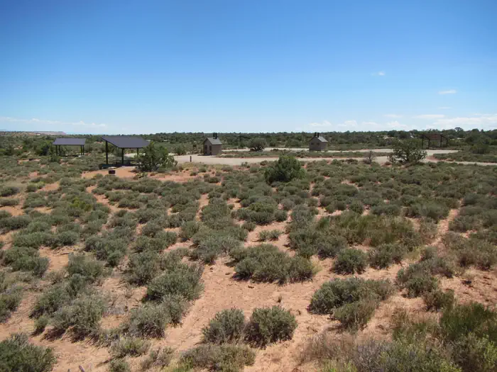
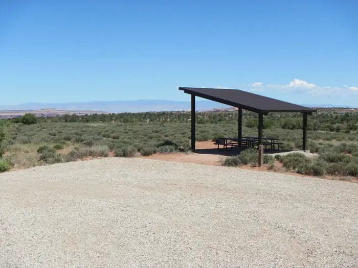
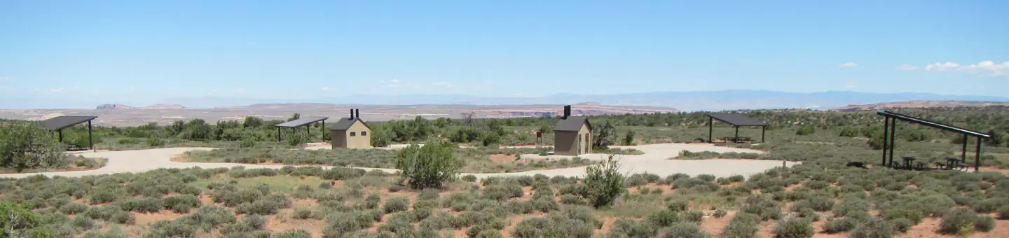
Overview The five reservable Horsethief Group Sites are ideal for smaller gatherings (10-20 people & 6 sedans/trucks/vans only---no trailers or RVs).
Sites5all reservable
Elev.5,817ft
Comf.Apr-Nov7 months
Max rig22 ft
Electricnonesites
From Moab0h40real road time
The honest read
Synthesized from RIDB · Open-Meteo OSM · OSRM Updated 2026-05-27
At 5,817 ft, Horsethief Group Sites has a 7-month comfortable window (Apr-Nov). Winter nights average around 22°F, so the shoulder seasons turn cold fast. All 5 sites are reservable in advance, so plan ahead. Popular weekends book out. Within about 4 miles: 1 peak.
The campground at a glance
01 · CHARACTER
Reads strongest on reservability and quiet. Softest on roomy sites.
Six axes, each scored relative to every other federal campground in the region: quiet (miles to a major road), cool (elevation), roomy (average site spacing), shade, RV-fit (longest rig), and how reservable it is. All six come from data, nothing hand-tuned.
When to go
02 · CLIMATE
avg highavg lowfrost-freedriest · Jun
Apr-Nov
Comfortable window: nights stay above 35°F, days below 90°F.
98%
Of summer weekend-days are dry.
Apr 17
Last spring frost; first fall frost Oct 21.
71°F
Average July low. Bring a fleece.
Getting there
03 · ACCESS
01
Moab
24 mi
0h40
02
Salt Lake City
236 mi
4h43
03
St. George
340 mi
5h45
By drive time
Routed road time (OSRM). Nearest major highway 8.8 mi away.
We synthesize public data layers: RIDB and Recreation.gov facility and site records, Open-Meteo climate normals, OpenStreetMap roads, trails, and water, OSRM drive times, and USGS elevation. We take no bookings, no ads, and no paid placements. Independence is the entire point.