Overview Iron Creek Campground sits near the confluence of Iron Creek and the Cispus River.
Sites9973 reservable
Elev.1,250ft
Comf.Apr-Nov8 months
Max rig40 ft4 pull-thru
Electricnonesites
From Yakima2h13real road time
The honest read
Synthesized from RIDB · Open-Meteo OSM · OSRM Updated 2026-05-27
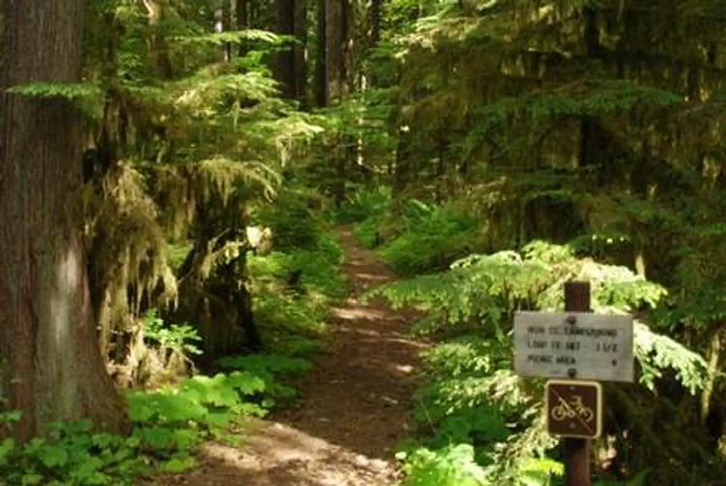
At 1,250 ft, Iron Creek Campground has a 8-month comfortable window (Apr-Nov). Winter nights average around 34°F, so the shoulder seasons turn cold fast. 99 sites total: 73 reservable and 26 first-come, first-served. Of the sites, 4 pull-through, and the longest takes a 40-ft rig. Within about 4 miles: 1 named hiking route, 2 peaks, lake or river access.
What campers say
SYNTHESIZED · MODERATE SIGNAL
Vibe
01 / 06
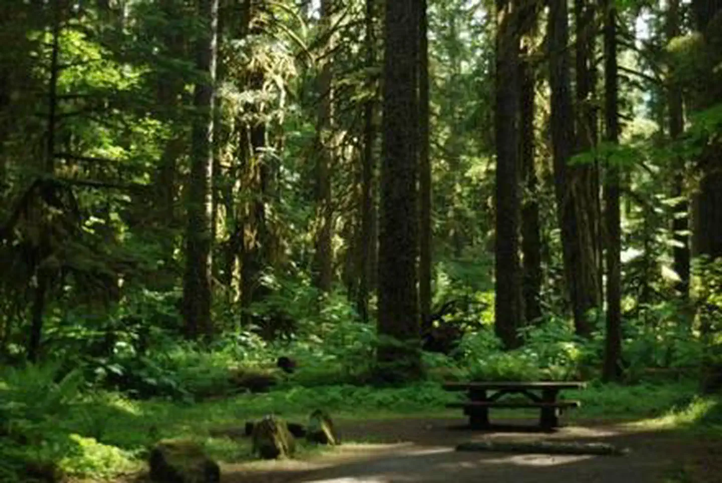
Old-growth Douglas fir, cedar and hemlock set the tone across the loops.
Campers consistently describe a mossy, fern-filled forest with very tall, old trees that shade most sites and dampen sound. Several note it feels closer to a rainforest walk than a typical Cascades campground.
Sites
02 / 06
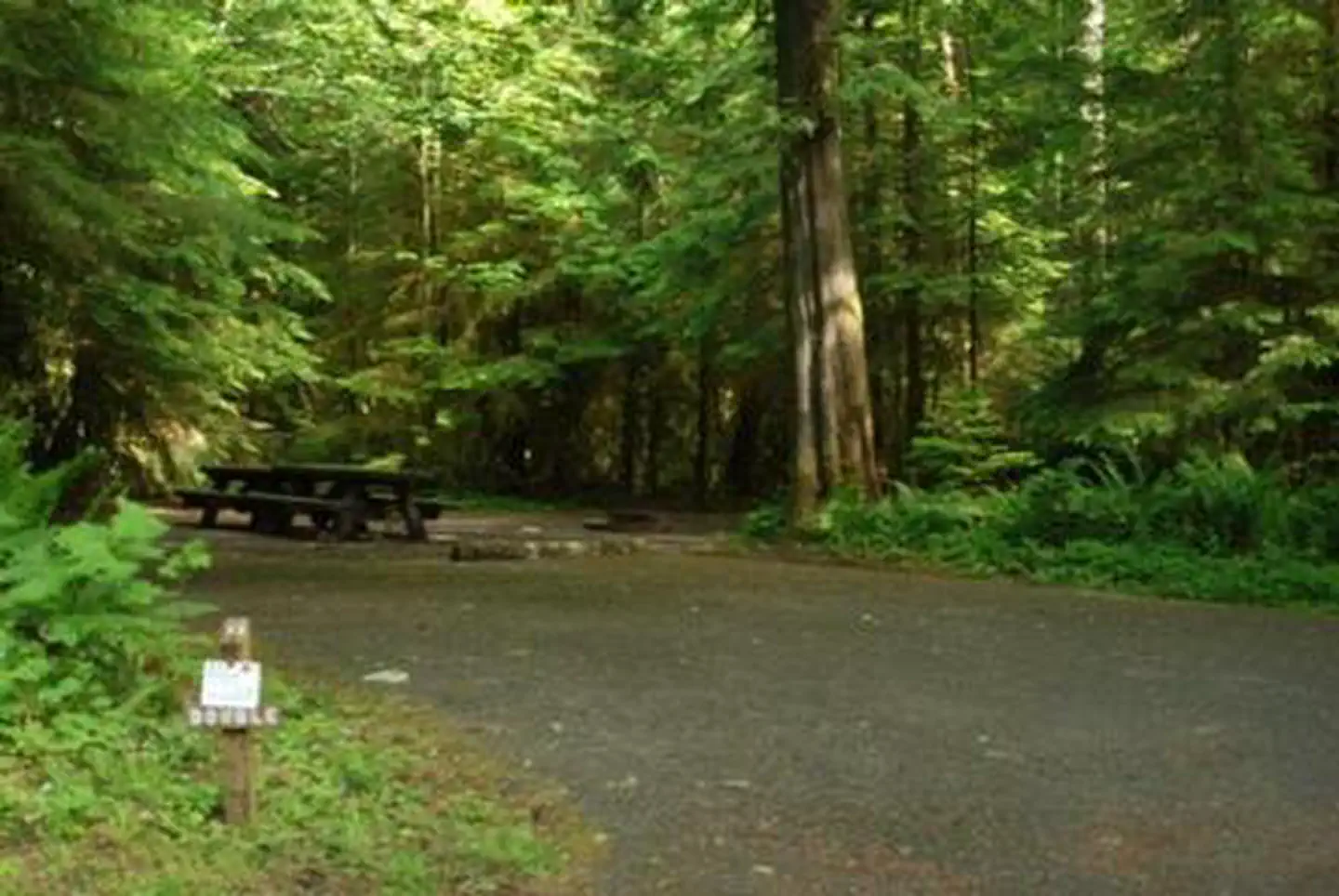
Paved back-in sites are unusually large and well separated.
Across loops A through D, reviewers single out the spacing and screening between neighbors, with Loop B and Loop D sites closest to water getting the most repeat mentions. Sites are level enough for RVs up to about 36 feet, though root heaves in the pavement come up in a few reports.
Water
03 / 06
Cispus River and Iron Creek are walkable from camp and used for wading and fishing.
Most loops connect by short paths to the river, which campers use for cooling off, kid and dog play, and cutthroat and rainbow trout fishing. Flows run fast and cold in early season, so swimming reports are mostly mid to late summer.
Facilities
04 / 06
Primitive by design: vault toilets, potable water, no hookups or showers.
Vault toilets are generally called clean and maintained, with occasional reports of odor or flies in hot weather. There are no electric, water, or sewer hookups and no dump station, and at least one recent visitor reported water spigots off, so arriving with full tanks is the safer plan.
Access
05 / 06
No cell signal at camp on any major carrier.
Verizon, AT&T and T-Mobile users all report nothing usable until back toward Randle, which most campers frame as a feature rather than a problem. The approach on Forest Road 25 is paved but rough in spots, and larger rigs are advised to take it slowly.
Booking
06 / 06
Reserve two to three months out for summer weekends, and check status before driving.
Peak-season weekends from mid-June through Labor Day fill early on Recreation.gov, with the riverside sites going first. The campground is also flagged closed for the 2026 season after a windstorm dropped many trees inside the loops, so confirm reopening before planning a trip.
Synthesized from public trip reports and forum discussion, summarized in our words and never quoted. This is durable sentiment, not a live feed.
The campground at a glance
01 · CHARACTER
Reads strongest on reservability and quiet. Softest on shade.
Six axes, each scored relative to every other federal campground in the region: quiet (miles to a major road), cool (elevation), roomy (average site spacing), shade, RV-fit (longest rig), and how reservable it is. All six come from data, nothing hand-tuned.
When to go
02 · CLIMATE
avg highavg lowfrost-freedriest · Jul
Apr-Nov
Comfortable window: nights stay above 35°F, days below 90°F.
79%
Of summer weekend-days are dry.
Apr 18
Last spring frost; first fall frost Oct 22.
56°F
Average July low.
Getting there
03 · ACCESS
01
Yakima
99 mi
2h13
02
Seattle
116 mi
2h54
03
Spokane
299 mi
5h49
By drive time
Routed road time (OSRM). Nearest major highway 7.4 mi away.
We synthesize public data layers: RIDB and Recreation.gov facility and site records, Open-Meteo climate normals, OpenStreetMap roads, trails, and water, OSRM drive times, and USGS elevation. We take no bookings, no ads, and no paid placements. Independence is the entire point.