USFSGrand Mesa, Uncompahgre and Gunnison National Forest · Colorado
Island Lake Campground
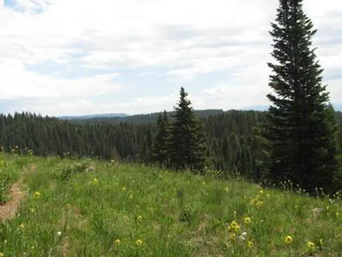
Overview Island Lake Campground is located at an elevation of 10,000 feet on Colorado's Grand Mesa, which is home to more than 300 fishing lakes, near the cities of Cedaredge and Delta.
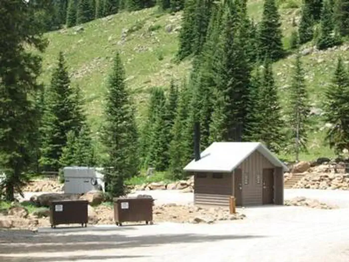
Sites3220 reservable
Elev.10,479ft
Comf.Jun-Sep4 months
Max rig140 ft12 pull-thru
Electric85×50-amp
From Grand Junction1h24real road time
The honest read
Synthesized from RIDB · Open-Meteo OSM · OSRM Updated 2026-05-27
At 10,479 ft, Island Lake Campground has a 4-month comfortable window (Jun-Sep). Winter nights average around 7°F, so the shoulder seasons turn cold fast. 32 sites total: 20 reservable and 12 first-come, first-served. Of the sites, 12 pull-through, 5 with 50-amp, and the longest takes a 140-ft rig. Within about 4 miles: 2 named hiking routes, lake or river access.
The campground at a glance
01 · CHARACTER
Reads strongest on cool nights and shade. Softest on roomy sites.
Six axes, each scored relative to every other federal campground in the region: quiet (miles to a major road), cool (elevation), roomy (average site spacing), shade, RV-fit (longest rig), and how reservable it is. All six come from data, nothing hand-tuned.
When to go
02 · CLIMATE
avg highavg lowfrost-freedriest · Nov
Jun-Sep
Comfortable window: nights stay above 35°F, days below 90°F.
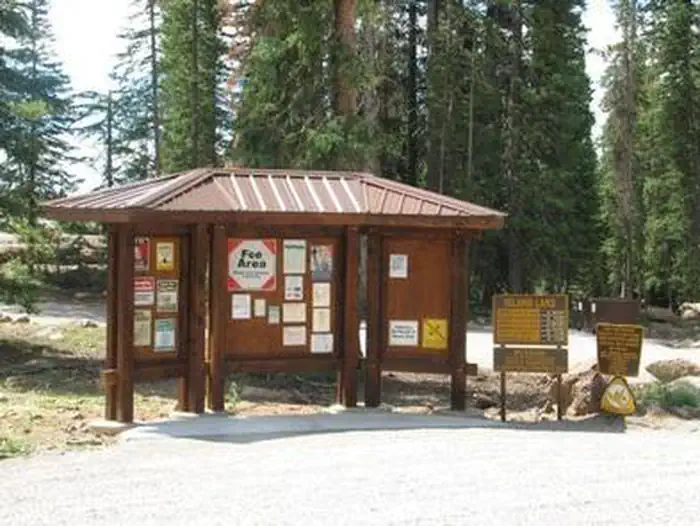
We synthesize public data layers: RIDB and Recreation.gov facility and site records, Open-Meteo climate normals, OpenStreetMap roads, trails, and water, OSRM drive times, and USGS elevation. We take no bookings, no ads, and no paid placements. Independence is the entire point.