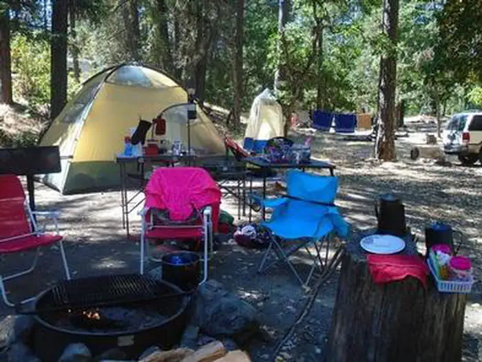
Overview Jackson Campgrounds are located on the beautiful Applegate River in the Applegate Valley near Ruch, Medford, Grants Pass and historic Jacksonville.
Sites12all reservable
Elev.1,677ft
Comf.Jan-Dec11 months
Max rig25 ft
Electricnonesites
From Medford0h37real road time
The honest read
Synthesized from RIDB · Open-Meteo OSM · OSRM Updated 2026-05-27
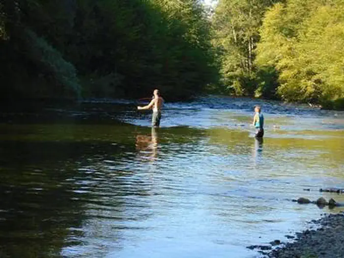
At 1,677 ft, Jackson Campground On The Applegate River has a 11-month comfortable window (Jan-Dec). Winter nights average around 36°F, so the shoulder seasons turn cold fast. All 12 sites are reservable in advance, so plan ahead. Popular weekends book out. Within about 4 miles: 5 peaks, lake or river access.
The campground at a glance
01 · CHARACTER
Reads strongest on shade and reservability. Softest on big-rig fit.
Six axes, each scored relative to every other federal campground in the region: quiet (miles to a major road), cool (elevation), roomy (average site spacing), shade, RV-fit (longest rig), and how reservable it is. All six come from data, nothing hand-tuned.
When to go
02 · CLIMATE
avg highavg lowfrost-freedriest · Jul
Jan-Dec
Comfortable window: nights stay above 35°F, days below 90°F.
96%
Of summer weekend-days are dry.
Apr 7
Last spring frost; first fall frost Oct 26.
59°F
Average July low.
Getting there
03 · ACCESS
01
Medford
23 mi
0h37
02
Eugene
178 mi
3h44
03
Bend
195 mi
4h33
04
Portland
283 mi
5h48
By drive time
Routed road time (OSRM). Nearest major highway 8.4 mi away.
Picking your site
04 · 12 SITES
0
Pull-thru
0
Walk-in
0
50-amp
0
Accessible
12
Prime
12
Sites
★ The standout
Site 006
JACKSON CAMPGROUND ON THE APPLEGATE RIVER · prime location · shaded.
Location
Prime
Max rig
25 ft
Type
Standard
What's within four miles
05 · TRAILS · PEAKS · WATER
Trails & Peaks
Trail segments
5
Peaks
5
Water & Access
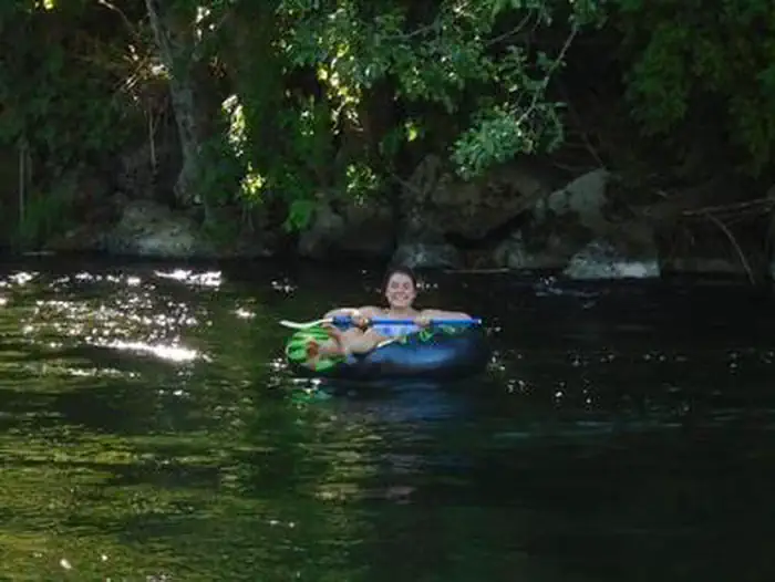
Lake / river access
yes
To nearest major road
8.4 mi
Method
We synthesize public data layers: RIDB and Recreation.gov facility and site records, Open-Meteo climate normals, OpenStreetMap roads, trails, and water, OSRM drive times, and USGS elevation. We take no bookings, no ads, and no paid placements. Independence is the entire point.