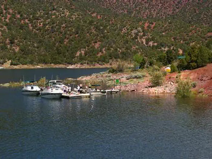
Overview Jarvies Boat-in Group Campground is located on beautiful Flaming Gorge Reservoir in Jarvies Canyon at an elevation of 6,040 feet.
Sites1all reservable
Elev.6,043ft
Comf.May-Oct6 months
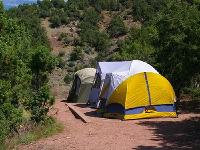
Max rigtents
Electricnonesites
From Salt Lake City5h05real road time
The honest read
Synthesized from RIDB · Open-Meteo OSM · OSRM Updated 2026-05-27
At 6,043 ft, Jarvies Boat IN Group has a 6-month comfortable window (May-Oct). Winter nights average around 12°F, so the shoulder seasons turn cold fast. All 1 sites are reservable in advance, so plan ahead. Popular weekends book out. Within about 4 miles: lake or river access.
The campground at a glance
01 · CHARACTER
Reads strongest on shade and reservability. Softest on quiet.
Six axes, each scored relative to every other federal campground in the region: quiet (miles to a major road), cool (elevation), roomy (average site spacing), shade, RV-fit (longest rig), and how reservable it is. All six come from data, nothing hand-tuned.
When to go
02 · CLIMATE
avg highavg lowfrost-freedriest · Jul
May-Oct
Comfortable window: nights stay above 35°F, days below 90°F.
96%
Of summer weekend-days are dry.
May 12
Last spring frost; first fall frost Oct 10.
62°F
Average July low. Bring a fleece.
Getting there
03 · ACCESS
01
Salt Lake City
237 mi
5h05
02
Moab
282 mi
6h30
03
St. George
456 mi
9h09
By drive time
Routed road time (OSRM). Nearest major highway 1.6 mi away.
Picking your site
04 · 1 SITES
0
Pull-thru
0
Walk-in
0
50-amp
0
Accessible
0
Prime
1
Sites
★ The standout
Site GB1
JARVIES BOAT IN GROUP · shaded.
0
Type
Standard
What's within four miles
05 · TRAILS · PEAKS · WATER
Trails & Peaks
Trail segments
26
Viewpoints
5
Water & Access
Lake / river access
yes
Designated swimming
1
To nearest major road
1.6 mi
Method
We synthesize public data layers: RIDB and Recreation.gov facility and site records, Open-Meteo climate normals, OpenStreetMap roads, trails, and water, OSRM drive times, and USGS elevation. We take no bookings, no ads, and no paid placements. Independence is the entire point.