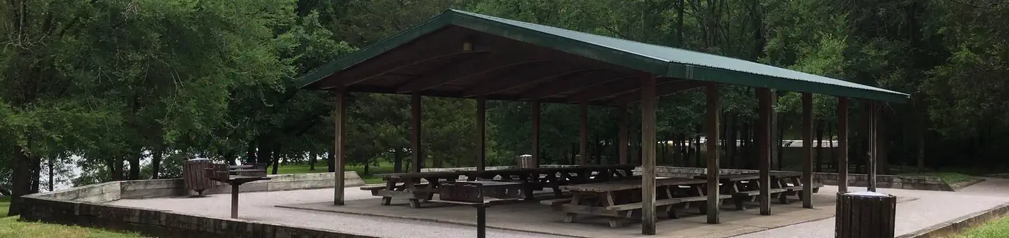
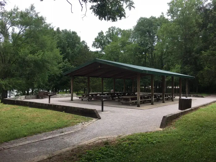
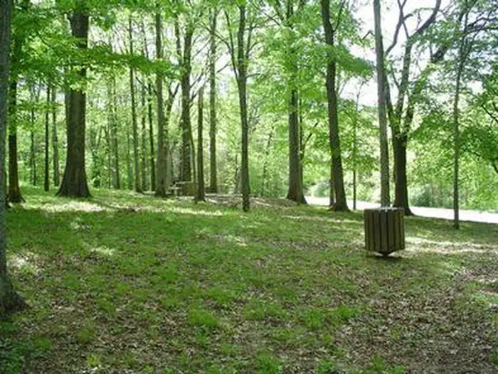
Overview Jefferson Springs Recreation Area is a lakeside oasis in the hills of middle Tennessee, providing visitors with countless recreational activities on the lake and the surrounding woods and gra
Sites1all reservable
Elev.548ft
Comf.Feb-Dec11 months
Max rigtents
Electric1sites
From Nashville0h36real road time
The honest read
Synthesized from RIDB · Open-Meteo OSM · OSRM Updated 2026-05-27
At 548 ft, Jefferson Springs has a 11-month comfortable window (Feb-Dec). Winter nights average around 34°F, so the shoulder seasons turn cold fast. All 1 sites are reservable in advance, so plan ahead. Popular weekends book out. Within about 4 miles: lake or river access.
The campground at a glance
01 · CHARACTER
Reads strongest on shade and reservability. Softest on quiet.
Six axes, each scored relative to every other federal campground in the region: quiet (miles to a major road), cool (elevation), roomy (average site spacing), shade, RV-fit (longest rig), and how reservable it is. All six come from data, nothing hand-tuned.
When to go
02 · CLIMATE
avg highavg lowfrost-freedriest · Nov
Feb-Dec
Comfortable window: nights stay above 35°F, days below 90°F.
48%
Of summer weekend-days are dry.
Mar 29
Last spring frost; first fall frost Nov 15.
71°F
Average July low.
Getting there
03 · ACCESS
01
Nashville
25 mi
0h36
02
Chattanooga
118 mi
2h15
03
Knoxville
172 mi
3h10
04
Memphis
237 mi
4h25
By drive time
Routed road time (OSRM). Nearest major highway 0.2 mi away.
Picking your site
04 · 1 SITES
0
Pull-thru
0
Walk-in
0
50-amp
1
Accessible
0
Prime
1
Sites
What's within four miles
05 · TRAILS · PEAKS · WATER
Trails & Peaks
Trail segments
604
Water & Access
Lake / river access
yes
To nearest major road
0.2 mi
Method
We synthesize public data layers: RIDB and Recreation.gov facility and site records, Open-Meteo climate normals, OpenStreetMap roads, trails, and water, OSRM drive times, and USGS elevation. We take no bookings, no ads, and no paid placements. Independence is the entire point.