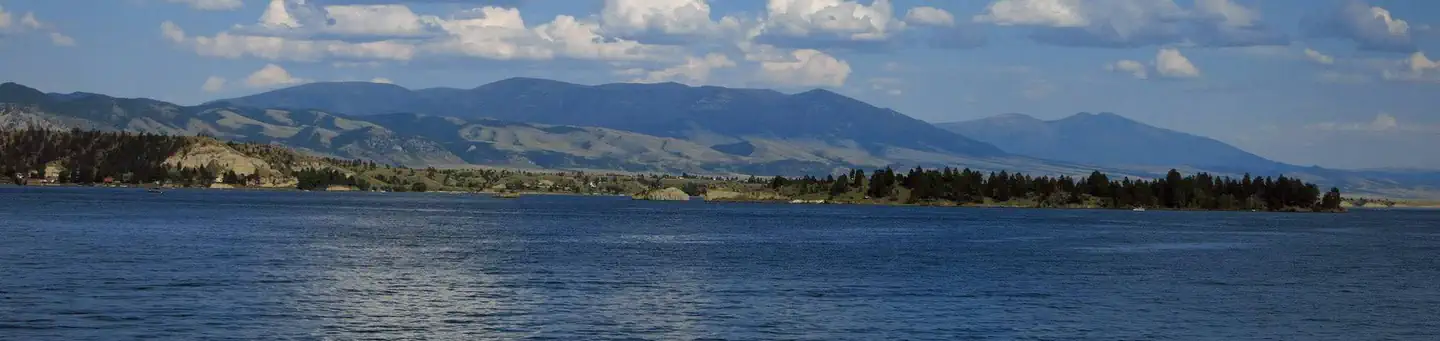
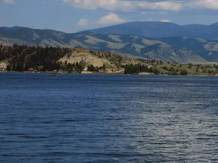
Overview Jo Bonner Campground is located at the Northeastern end of Canyon Ferry Reservoir; 30 miles east of Helena, Montana and offers year-round access to a wide range of recreational opportunities.
Sites17all reservable
Elev.3,832ft
Comf.May-Oct6 months
Max rig100 ft
Electricnonesites
From Helena0h36real road time
The honest read
Synthesized from RIDB · Open-Meteo OSM · OSRM Updated 2026-05-27
At 3,832 ft, Jo Bonner Campground has a 6-month comfortable window (May-Oct). Winter nights average around 20°F, so the shoulder seasons turn cold fast. All 17 sites are reservable in advance, so plan ahead. Popular weekends book out. Within about 4 miles: 3 peaks, lake or river access.
The campground at a glance
01 · CHARACTER
Reads strongest on reservability and shade. Softest on roomy sites.
Six axes, each scored relative to every other federal campground in the region: quiet (miles to a major road), cool (elevation), roomy (average site spacing), shade, RV-fit (longest rig), and how reservable it is. All six come from data, nothing hand-tuned.
When to go
02 · CLIMATE
avg highavg lowfrost-freedriest · Jul
May-Oct
Comfortable window: nights stay above 35°F, days below 90°F.
85%
Of summer weekend-days are dry.
May 5
Last spring frost; first fall frost Oct 15.
59°F
Average July low. Bring a fleece.
Getting there
03 · ACCESS
01
Helena
21 mi
0h36
02
Bozeman
96 mi
1h49
03
Missoula
135 mi
2h34
04
Billings
237 mi
4h09
By drive time
Routed road time (OSRM). Nearest major highway 7.4 mi away.
We synthesize public data layers: RIDB and Recreation.gov facility and site records, Open-Meteo climate normals, OpenStreetMap roads, trails, and water, OSRM drive times, and USGS elevation. We take no bookings, no ads, and no paid placements. Independence is the entire point.