USFSHumboldt-Toiyabe National Forest Headquarters · California
Kit Carson Campground
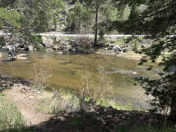
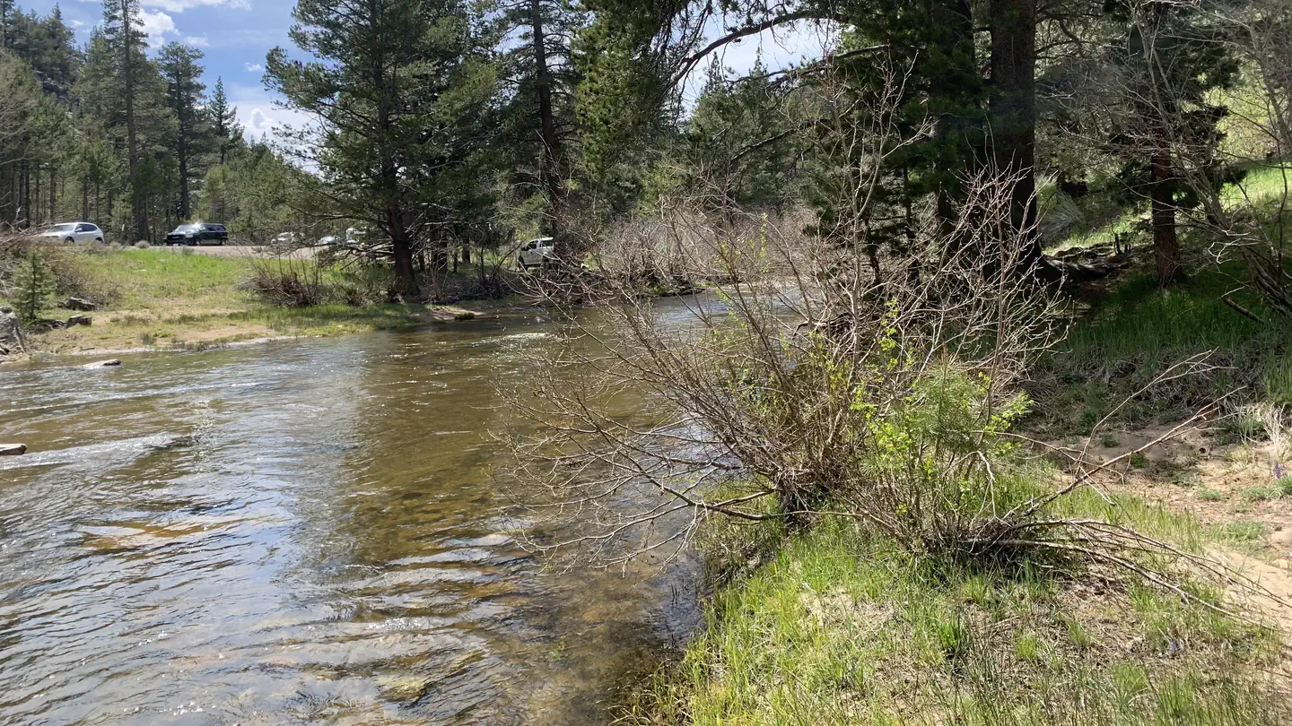
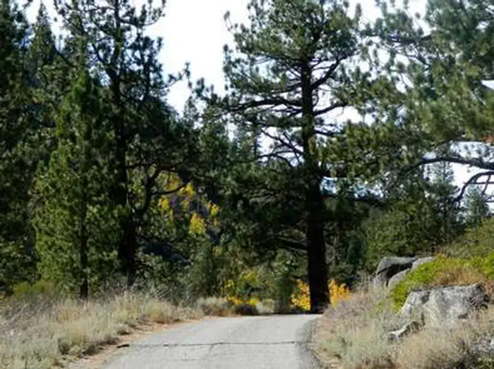
Overview Nestled in a forest of Jeffrey pines and aspens, Kit Carson campground is perfect for tent camping and smaller RVs.
Sites127 reservable
Elev.6,926ft
Comf.Jun-Sep4 months
Max rig45 ft
Electricnonesites
From Sacramento2h32real road time
The honest read
Synthesized from RIDB · Open-Meteo OSM · OSRM Updated 2026-05-27
At 6,926 ft, Kit Carson Campground has a 4-month comfortable window (Jun-Sep). Winter nights average around 19°F, so the shoulder seasons turn cold fast. 12 sites total: 7 reservable and 5 first-come, first-served. Within about 4 miles: 1 named hiking route, 4 peaks, lake or river access.
The campground at a glance
01 · CHARACTER
Reads strongest on shade and cool nights. Softest on quiet.
Six axes, each scored relative to every other federal campground in the region: quiet (miles to a major road), cool (elevation), roomy (average site spacing), shade, RV-fit (longest rig), and how reservable it is. All six come from data, nothing hand-tuned.
When to go
02 · CLIMATE
avg highavg lowfrost-freedriest · Jul
Jun-Sep
Comfortable window: nights stay above 35°F, days below 90°F.
97%
Of summer weekend-days are dry.
Jun 15
Last spring frost; first fall frost Oct 1.
50°F
Average July low. Bring a fleece.
Getting there
03 · ACCESS
01
Sacramento
114 mi
2h32
02
Fresno
183 mi
4h04
03
San Francisco
199 mi
4h25
04
Los Angeles
441 mi
9h48
05
San Diego
580 mi
12h53
By drive time
Routed road time (OSRM). Nearest major highway 0 mi away.
We synthesize public data layers: RIDB and Recreation.gov facility and site records, Open-Meteo climate normals, OpenStreetMap roads, trails, and water, OSRM drive times, and USGS elevation. We take no bookings, no ads, and no paid placements. Independence is the entire point.