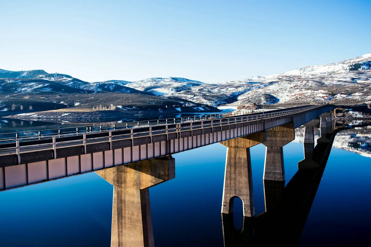
Overview Lake Fork Campground is on the Blue Mesa Reservoir, near the reservoir's dam.
Sites8382 reservable
Elev.7,556ft
Comf.Jun-Sep4 months
Max rig52 ft16 pull-thru
Electricnonesites
From Grand Junction2h25real road time
The honest read
Synthesized from RIDB · Open-Meteo OSM · OSRM Updated 2026-05-27
At 7,556 ft, Lake Fork Campground has a 4-month comfortable window (Jun-Sep). Winter nights average around 9°F, so the shoulder seasons turn cold fast. 83 sites total: 82 reservable and 1 first-come, first-served. Of the sites, 16 pull-through, and the longest takes a 52-ft rig. Within about 4 miles: 1 peak, lake or river access.
What campers say
SYNTHESIZED · MODERATE SIGNAL
Sites
01 / 05
Three paved loops that read like parking lots, with little shade or privacy.
Visitors across multiple sources describe the layout as three asphalt tiers arranged in open lots rather than a traditional wooded campground. Sites sit close together with minimal screening, so the look and feel skews functional rather than scenic at the site itself.
Views
02 / 05
Big open views of Blue Mesa Reservoir and the surrounding mountains.
The lack of trees is the trade-off for wide sightlines over the reservoir and ridgelines, and reviewers consistently call the panoramas the main reason to stay here. Upper-tier sites get sweeping water views while lower sites put you closer to the shoreline.
Facilities
03 / 05
Restrooms run exceptionally clean, but the showers have been out of service for years.
Flush toilets get repeat praise for being some of the cleanest campers have seen, with daily upkeep noted. The shower building, however, has been reported closed across multiple seasons, and people needing a shower have driven roughly 13 miles east on US 50 to a private campground.
Weather
04 / 05
Hot, exposed, and frequently windy in the afternoons.
The open layout and high desert setting mean sun beats down on sites with no canopy, and afternoon wind off the reservoir is a recurring complaint, especially on the lakeside row. Interior sites pick up a bit more shelter from the wind.
Water
05 / 05
Strong base for anglers and boaters on the largest kokanee fishery in the country.
Direct reservoir access, a nearby boat launch, and an on-site fish cleaning station make this a practical pick for fishing trips targeting lake trout, kokanee, and rainbows. Weekday stays are reported as quiet, while weekends bring noticeably more boat traffic and noise.
Synthesized from public trip reports and forum discussion, summarized in our words and never quoted. This is durable sentiment, not a live feed.
The campground at a glance
01 · CHARACTER
Reads strongest on reservability and cool nights. Softest on shade.
Six axes, each scored relative to every other federal campground in the region: quiet (miles to a major road), cool (elevation), roomy (average site spacing), shade, RV-fit (longest rig), and how reservable it is. All six come from data, nothing hand-tuned.
When to go
02 · CLIMATE
avg highavg lowfrost-freedriest · Jun
Jun-Sep
Comfortable window: nights stay above 35°F, days below 90°F.
87%
Of summer weekend-days are dry.
May 24
Last spring frost; first fall frost Oct 3.
52°F
Average July low. Bring a fleece.
Getting there
03 · ACCESS
01
Grand Junction
101 mi
2h25
02
Colorado Springs
200 mi
4h28
03
Denver
227 mi
5h06
04
Fort Collins
289 mi
6h13
By drive time
Routed road time (OSRM). Nearest major highway 0.5 mi away.
We synthesize public data layers: RIDB and Recreation.gov facility and site records, Open-Meteo climate normals, OpenStreetMap roads, trails, and water, OSRM drive times, and USGS elevation. We take no bookings, no ads, and no paid placements. Independence is the entire point.