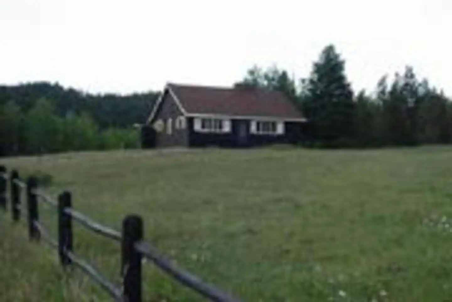
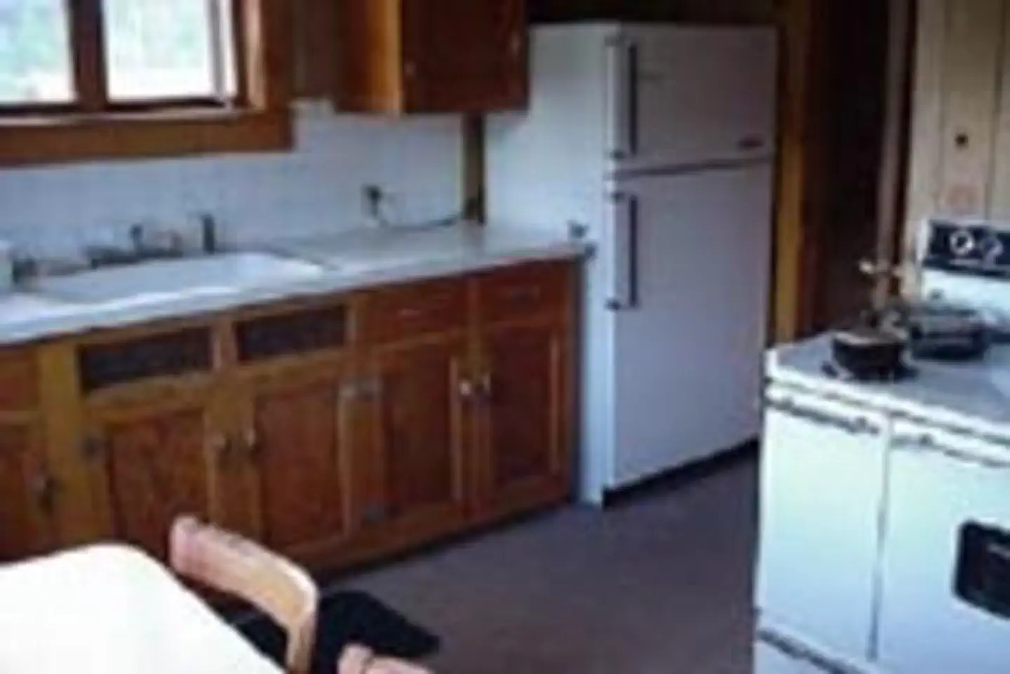
Overview Lake Isabel Cabin is ideal for guests who wish to experience camping in the Pike and San Isabel National Forest, yet sleep in a bed with a roof overhead.
Sites1all reservable
Elev.8,599ft
Comf.May-Oct6 months
Max rigtents
Electricnonesites
From Colorado Springs1h37real road time
The honest read
Synthesized from RIDB · Open-Meteo OSM · OSRM Updated 2026-05-27
At 8,599 ft, Lake Isabel Cabin has a 6-month comfortable window (May-Oct). Winter nights average around 17°F, so the shoulder seasons turn cold fast. All 1 sites are reservable in advance, so plan ahead. Popular weekends book out. Within about 4 miles: 4 peaks, lake or river access.
The campground at a glance
01 · CHARACTER
Reads strongest on reservability and quiet. Softest on shade.
Six axes, each scored relative to every other federal campground in the region: quiet (miles to a major road), cool (elevation), roomy (average site spacing), shade, RV-fit (longest rig), and how reservable it is. All six come from data, nothing hand-tuned.
When to go
02 · CLIMATE
avg highavg lowfrost-freedriest · Nov
May-Oct
Comfortable window: nights stay above 35°F, days below 90°F.
47%
Of summer weekend-days are dry.
May 19
Last spring frost; first fall frost Oct 6.
55°F
Average July low. Bring a fleece.
Getting there
03 · ACCESS
01
Colorado Springs
85 mi
1h37
02
Denver
153 mi
2h53
03
Fort Collins
217 mi
4h03
04
Grand Junction
287 mi
7h15
By drive time
Routed road time (OSRM). Nearest major highway 13 mi away.
Picking your site
04 · 1 SITES
0
Pull-thru
0
Walk-in
0
50-amp
0
Accessible
0
Prime
1
Sites
What's within four miles
05 · TRAILS · PEAKS · WATER
Trails & Peaks
Trail segments
25
Peaks
4
Water & Access
Lake / river access
yes
To nearest major road
13 mi
Method
We synthesize public data layers: RIDB and Recreation.gov facility and site records, Open-Meteo climate normals, OpenStreetMap roads, trails, and water, OSRM drive times, and USGS elevation. We take no bookings, no ads, and no paid placements. Independence is the entire point.