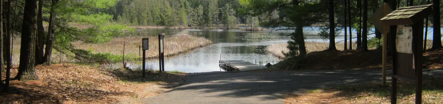
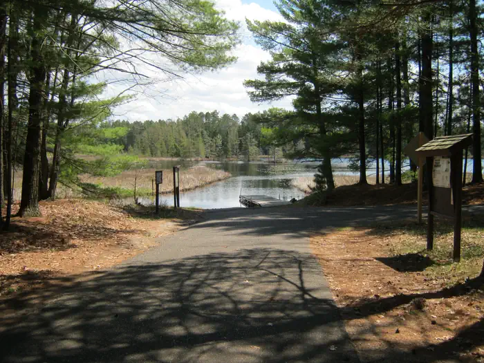
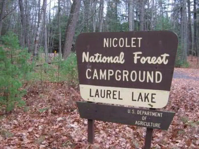
Overview Laurel Lake is part of the 28 lake Three Lakes and Eagle River Chain of Lakes giving the visitor water access to nearly 11,500 acres of water and 174 miles of shoreline.
Sites127 reservable
Elev.1,699ft
Comf.May-Oct6 months
Max rig40 ft
Electricnonesites
From Wausau2h11real road time
The honest read
Synthesized from RIDB · Open-Meteo OSM · OSRM Updated 2026-05-27
At 1,699 ft, Laurel Lake Campground has a 6-month comfortable window (May-Oct). Winter nights average around 10°F, so the shoulder seasons turn cold fast. 12 sites total: 7 reservable and 5 first-come, first-served. Within about 4 miles: 1 named hiking route, lake or river access.
The campground at a glance
01 · CHARACTER
Reads strongest on shade and reservability. Softest on roomy sites.
Six axes, each scored relative to every other federal campground in the region: quiet (miles to a major road), cool (elevation), roomy (average site spacing), shade, RV-fit (longest rig), and how reservable it is. All six come from data, nothing hand-tuned.
When to go
02 · CLIMATE
avg highavg lowfrost-freedriest · Jan
May-Oct
Comfortable window: nights stay above 35°F, days below 90°F.
71%
Of summer weekend-days are dry.
May 9
Last spring frost; first fall frost Oct 19.
60°F
Average July low.
Getting there
03 · ACCESS
01
Wausau
89 mi
2h11
02
Madison
229 mi
4h51
03
Milwaukee
239 mi
5h22
By drive time
Routed road time (OSRM). Nearest major highway 1.1 mi away.
We synthesize public data layers: RIDB and Recreation.gov facility and site records, Open-Meteo climate normals, OpenStreetMap roads, trails, and water, OSRM drive times, and USGS elevation. We take no bookings, no ads, and no paid placements. Independence is the entire point.