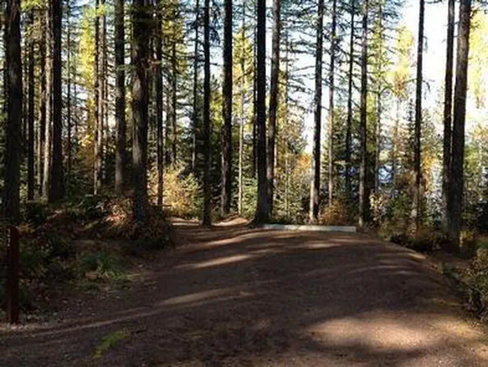
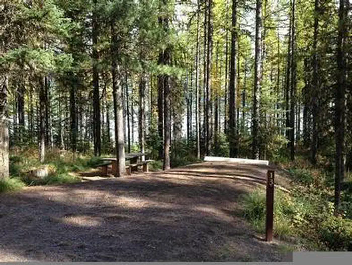
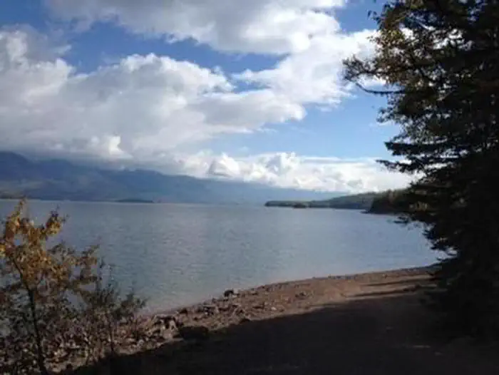
Overview Lid Creek Campground lies on the Hungry Horse Reservoir, in the heart of the Rocky Mountains, west of the Continental Divide and just south of the Canadian border.
Sites2313 reservable
Elev.3,688ft
Comf.May-Oct6 months
Max rig49 ft
Electricnonesites
From Missoula3h26real road time
The honest read
Synthesized from RIDB · Open-Meteo OSM · OSRM Updated 2026-05-27
At 3,688 ft, Lid Creek Campground has a 6-month comfortable window (May-Oct). Winter nights average around 22°F, so the shoulder seasons turn cold fast. 23 sites total: 13 reservable and 10 first-come, first-served. Within about 4 miles: 2 peaks.
The campground at a glance
01 · CHARACTER
Reads strongest on shade and quiet. Softest on roomy sites.
Six axes, each scored relative to every other federal campground in the region: quiet (miles to a major road), cool (elevation), roomy (average site spacing), shade, RV-fit (longest rig), and how reservable it is. All six come from data, nothing hand-tuned.
When to go
02 · CLIMATE
avg highavg lowfrost-freedriest · Jul
May-Oct
Comfortable window: nights stay above 35°F, days below 90°F.
78%
Of summer weekend-days are dry.
May 9
Last spring frost; first fall frost Oct 14.
56°F
Average July low. Bring a fleece.
Getting there
03 · ACCESS
01
Missoula
143 mi
3h26
02
Helena
220 mi
4h29
03
Bozeman
335 mi
6h20
04
Billings
436 mi
8h34
By drive time
Routed road time (OSRM). Nearest major highway 9.6 mi away.
We synthesize public data layers: RIDB and Recreation.gov facility and site records, Open-Meteo climate normals, OpenStreetMap roads, trails, and water, OSRM drive times, and USGS elevation. We take no bookings, no ads, and no paid placements. Independence is the entire point.